Amherst Topo Map Online
Download Free Topo Map Sheet 021H16 at 1:50,000 scale
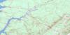
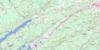
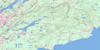
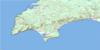
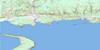
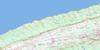
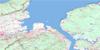
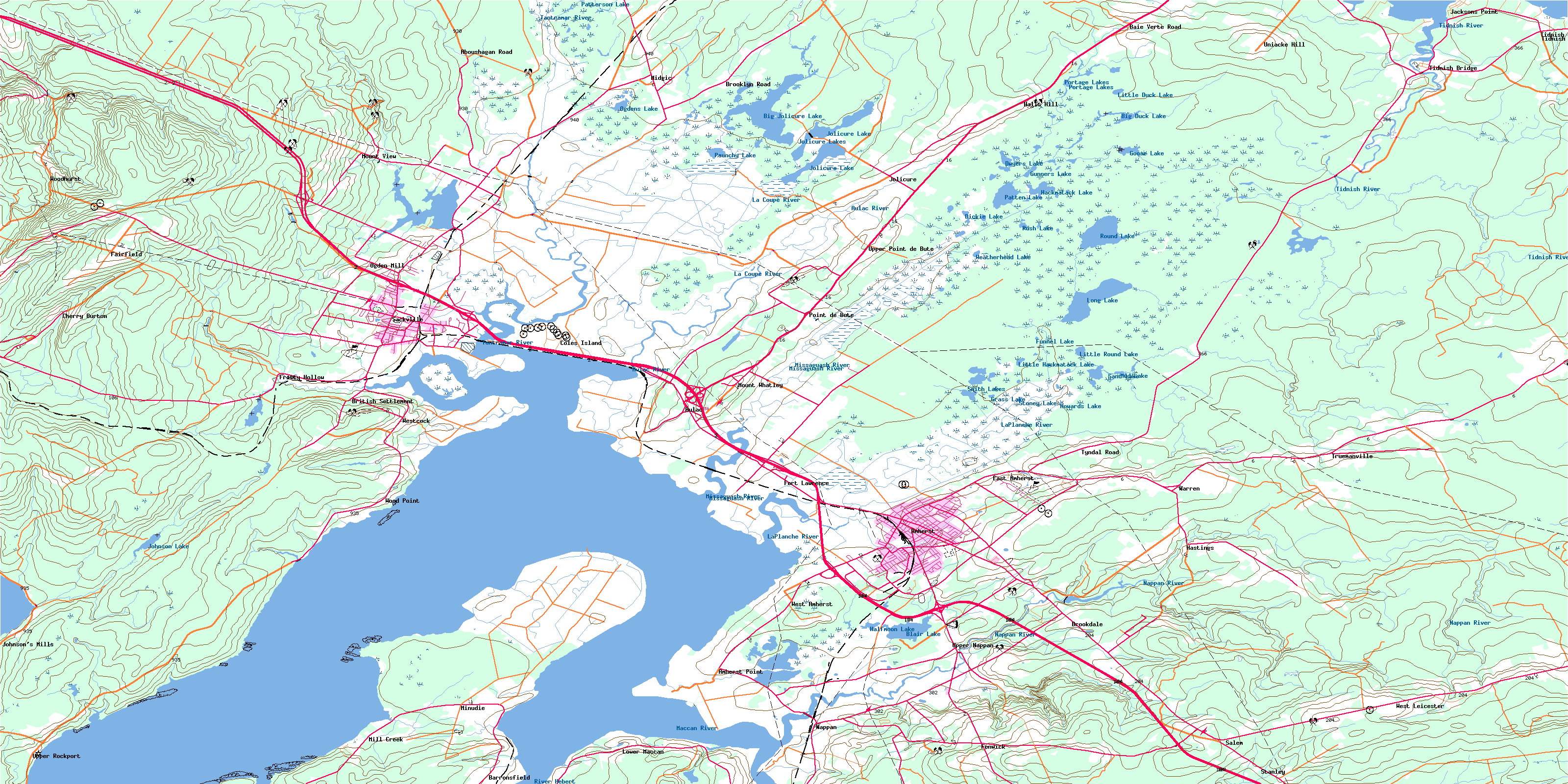
021H16 Amherst Topo Map
To view this map, mouse over the map preview on the right.
You can also download this topo map for free:
021H16 Amherst high-resolution topo map image.
Maps for the Amherst topo map sheet 021H16 at 1:50,000 scale are also available in these versions:
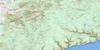
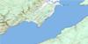
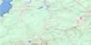
Amherst Surrounding Area Topo Maps
 |
 |
 |
 |
 |
 |
 |
 |
 |
 |
 |
 |
 |
 |
 |
 |
© Department of Natural Resources Canada. All rights reserved.
Amherst Gazetteer
The following places can be found on topographic map sheet 021H16 Amherst:
Amherst Topo Map: Bays
Baie VerteCumberland Basin
Cumberland Basin
Downing Cove
Grande Anse
Pecks Cove
Pot Cove
Sharps Creek
Shepody Bay
Amherst Topo Map: Capes
Amherst PointBlack Point
Chignecto Isthmus
Chignecto Isthmus
Irvines Point
Irwin Point
Irwins Point
Jacksons Point
Minudie Point
Westmorland Point
Wood Point
Amherst Topo Map: Channels
Portage RunAmherst Topo Map: Geographical areas
CumberlandDorchester
Sackville
Westmorland
Westmorland
Amherst Topo Map: Islands
Coles IslandSunken Island
Tonges Island
Amherst Topo Map: Lakes
Big Duck LakeBig Jolicure Lake
Black Pond
Blair Lake
Bulmers Pond
Christie Pond
Dickie Lake
Dickie Lake
Dwyers Lake
Front Lake
Frosty Hollow Lake
Funnel Lake
Goose Lake
Grass Lake
Gunners Lake
Hackmatack Lake
Halfmoon Lake
Howards Lake
Johnson Lake
Jolicure Lake
Jolicure Lakes
La Planche Lake
Large Lake
Laytons Lake
Little Duck Lake
Little Hackmatack Lake
Little Lake
Little Round Lake
Long Lake
Long Lake
McKims Hole
Morice Lake
Morice Pond
Mosleys Pond
Mud Lake
Ogdens Lake
Patten Lake
Patterson Lake
Paunchy Lake
Portage Lakes
Portage Lakes
Portey Pond
Round Lake
Rush Lake
Rush Lake
Sainsburys Hole
Sand Lake
Smith Lakes
Stoney Lake
Truemans Mill Pond
Weatherhead Lake
Wild Goose Lake
Woods Pond
Amherst Topo Map: Military areas
Amherst RangeChamp de tir Amherst
Amherst Topo Map: Mountains
Beech HillCoppermine Hill
Etter Ridge
Fort Cumberland Ridge
Fort Lawrence Ridge
Halls Hill
Jolicure Ridge
Leicester Ridge
Mount Uniacke
Uniacke Hill
Amherst Topo Map: Major municipal/district area - major agglomerations
CumberlandAmherst Topo Map: Conservation areas
Amherst Point Bird SanctuaryAmherst Point Migratory Bird Sanctuary
Beaubassin National Historic Site of Canada
Chignecto National Wildlife Area
Édifice Wood
Fort Beauséjour -- Fort Cumberland National Historic Site of Canada
Fort Beauséjour National Historic Site of Canada
Fort Lawrence National Historic Site of Canada
John Lusby Marsh National Wildlife Area
La Coupe Dry Dock National Historic Site of Canada
Lieu historique national du Canada de Beaubassin
Lieu historique national du Canada de la Cale-Sèche-La Coupe
Lieu historique national du Canada du Fort Beauséjour -- Fort Cumberland
Lieu historique national du Canada du Fort-Beauséjour
Lieu historique national du Canada du Fort-Lawrence
Refuge d'oiseaux d'Amherst Point
Refuge d'oiseaux migrateurs de la Pointe-Amherst
Réserve nationale de faune de Chignecto
Réserve nationale de faune de Tintamarre
Réserve nationale de faune du marais John Lusby
Tidnish Dock Provincial Park
Tintamarre National Wildlife Area
Wood Block
Amherst Topo Map: Provinces
New BrunswickNouveau-Brunswick
Nouvelle-Écosse
Nova Scotia
Amherst Topo Map: Rapids
Warm RunAmherst Topo Map: Rivers
Allen BrookAllen Creek
Aulac River
Ayers Brook
Back Brook
Baird Brook
Bakers Brook
Bakers Brook
Beaver Brook
Beherrel Brook
Big Brook
Breau Creek
Carters Brook
Chapman Brook
Clarke Brook
Clarken Brook
Cumberland Creek
Dickeys Brook
East Brook
Etter Brook
Ettors Brook
Frosty Hollow Brook
Gooden Brook
Gooden Creek
Goodwins Brook
Goose Creek
Harper Brook
Harvey Creek
Holt Mill Brook
Jenks Brook
Joe Bird Brook
Joe Brook
Johnson Creek
Keillor Brook
King Creek
La Coupe River
La Planche River
LaPlanche River
Len Buck Brook
Lime-kiln Brook
Little Forks River
Little River
Little West Branch Tidnish River
Little West Tidnish River
Log Lake Stream
Lowther Brook
Maccan River
MacLellans Brook
Mill Brook
Mill Creek
Milltown Brook
Missaguash River
Missaguash River
Morice Brook
Morice Creek
Nappan River
North Brook
Ogden Mill Brook
Oxley Creek
Paradise Brook
Portage Run
Purdy Brook
Reservoir Brook
River Hébert
Robinson Brook
Robinson Brook
Rockwell Creek
Smelt Brook
Smelt Brook
Sterling Brook
Stewarts Brook
Styles Brook
Tantramar River
The Branch Nappan River
Three Mile Brook
Tidnish River
Two Mile Brook
Twomile Brook
Vernon Creek
West Branch Tidnish River
West Tidnish River
Wood Creek
Amherst Topo Map: Towns
AmherstSackville
Amherst Topo Map: Unincorporated areas
Aboushagan RoadAmherst Head
Amherst Point
Aulac
Aulac
Baie Verte Road
Baie-Verte Road
Barronsfield
British Settlement
Brookdale
Brooklyn Road
Cherry Burton
Coles Island
East Amherst
Evans
Fairfield
Fenwick
Fort Lawrence
Frosty Hollow
Halls Hill
Hastings
Head of Amherst
Jacksons Point
Johnson Mills
Johnson's Mills
Jolicure
Lower Maccan
Middle Sackville
Midgic
Midgic Station
Mill Creek
Minudie
Mount Uniacke
Mount View
Mount Whatley
Nappan
Nappan Station
Ogden Mill
Point de Bute
Point-de-Bute
Salem
Stanley
Tidnish
Tidnish Bridge
Tidnish Bridge
Tidnish Cross Roads
Truemanville
Tyndal Road
Uniacke Hill
Upper Nappan
Upper Point de Bute
Upper Pointe-de-Bute
Upper Rockport
Upper Sackville
Ward
Warren
West Amherst
West Leicester
West Sackville
Westcock
Wood Point
Woodhurst
Amherst Topo Map: Low vegetation
Amherst MarshAmherst Marsh
Elysian Fields
Lusbys Marsh
Minudie Marsh
Missaguash Bog
Missaguash Bog
Ram Pasture Marsh
Tantramar Marsh
Tantramar Marshes
Westcock Marsh
© Department of Natural Resources Canada. All rights reserved.
