Millville Topo Map Online
Download Free Topo Map Sheet 021J03 at 1:50,000 scale
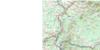
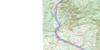
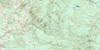
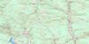
021J03 Millville Topo Map
To view this map, mouse over the map preview on the right.
You can also download this topo map for free:
021J03 Millville high-resolution topo map image.
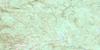
Maps for the Millville topo map sheet 021J03 at 1:50,000 scale are also available in these versions:
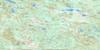
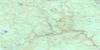
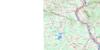
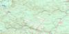
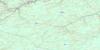
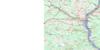
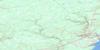
Millville Surrounding Area Topo Maps
 |
 |
 |
 |
 |
 |
 |
 |
 |
 |
 |
 |
 |
 |
 |
 |
© Department of Natural Resources Canada. All rights reserved.
Millville Gazetteer
The following places can be found on topographic map sheet 021J03 Millville:
Millville Topo Map: Bays
Culliton CoveMillville Topo Map: Channels
The NarrowsMillville Topo Map: Geographical areas
BrightNorthampton
Queensbury
Southampton
York
Millville Topo Map: Lakes
Angle Hill LakeAyers Lake
Ayres Lake
Bear Lakes
Big Lake
Brooks Lake
Bull Lake
Burtt Lake
Campbell Lake
Carr Lake
Coac Lake
Colter Lake
Fiddle Lake
Fish Lake
Greenhill Lake
Indian Lake
Lower Bear Lake
Lower Northeast Lake
Mactaquac Lake
Mud Lake
Myshrall Pond
Otter Lake
Round Pond
Sisson Lake
Smith Lake
Square Pond
Taffy Lake
Trout Lake
Upper Bear Lake
Upper Northeast Lake
Millville Topo Map: Mountains
Big Spruce PeakClimbatree Ridge
Crabbe Mountain
Crow Hill
Dunham Hill
Green Hill
Howland Ridge Hill
Lawrence Peak
Little Lawrence Peak
Little Spruce Peak
Maple Ridge Hill
Middle Brook Ridge
Mularchy Peak
Paddy Hill
Parent Ridge
Pikes Peak
Pughs Peak
Pugh's Peak
Sleeps Hill
Stairs Hill
Sugarloaf Mountain
Trail Ridge
Woodstock Hill
Millville Topo Map: Rivers
Ackers BrookAckers Creek
Bagley Brook
Beaver Brook
Belyea Brook
Broad Arrow Brook
Bulls Creek
Burtt Lake Branch
Buttermilk Creek
Coac Stream
Downey Brook
Dunham Brook
East Branch Nackawic Stream
Eight Mile Brook
Falls Brook
Farnham Brook
Fiddle Brook
Gibson Creek
Gibson Millstream
Greenlaw Brook
Greer Creek
Greers Creek
Gunter Brook
Ham Brook
Hamilton Brook
Howard Brook
Indian Brook
Jerry Brook
Johnny Brook
Jones Brook
Jones Landing Brook
Keswick River
Little Forks Brook
Little Patterson Brook
Mactaquac River
Mactaquac Stream
McDonald Brook
McKiel Brook
McLean Brook
Meadow Brook
Meadow Brook
Middle Brook
Mill Brook
Mularchy Brook
Nackawic River
Nackawic Stream
Negro Brook
Nine Mile Brook
North Branch Gibson Creek
North Gibson Millstream
Northeast Nackawic River
Northwest Nackawic River
Olmstead Brook
Otter Brook
Phillips Creek
Quigg Brook
Richardson Brook
Rivière Saint-Jean
Saint John River
Second Brook
Shaws Creek
Shea Brook
South Branch Mactaquac Stream
Squatty Brook
Stones Brook
Trout Brook
West Branch Keswick River
West Branch Nackawic Stream
West Keswick River
Millville Topo Map: River features
Greer Creek DeadwaterKilmarnock Deadwater
Moosehorn Deadwater
Nason Deadwater
North Branch Deadwater
Prescott Deadwater
Refuge Deadwater
Round Turn
Millville Topo Map: Unincorporated areas
BartonBates Settlement
Brewer Mills
Brewers Mill
Brewers Mills
Briggs Corner
Bull Lake
Cahill
Campbell Settlement
Carr
Caverhill
Central Hainesville
Central Waterville
Clarkville
County Line
Cullerton
East Newbridge
East Waterville
Green Bush
Greenhill
Hainesville
Harten Corner
Hartfield
Hawkins Corner
Hayne
Howard Brook
Howland Ridge
Kilmarnock
Kilmarnock Settlement
Lower Brighton
Lower Caverhill
Lower Hainesville
Lower Southampton
Maple Ridge
Maplewood
Middle Hainesville
Nackawic
Newbridge
Newburg
Newburg Settlement
Norton Dale
Nortondale
Oldham Settlement
Parent Ridge Settlement
Pinder
Rossville
Shewan
South Newbridge
South Waterville
Southampton
Southampton Junction
Springfield
Staples Settlement
Temperance Vale
Upper Caverhill
Upper Hainesville
Upper Southampton
Upper Springfield
West Waterville
Wiggins Mill
Woodman
Woodstock Road
Millville Topo Map: Low vegetation
Beechman SwampCaribou Barren
Kaley Bog
Kaley Meadow
Long Swamp
Millville Topo Map: Villages
Millville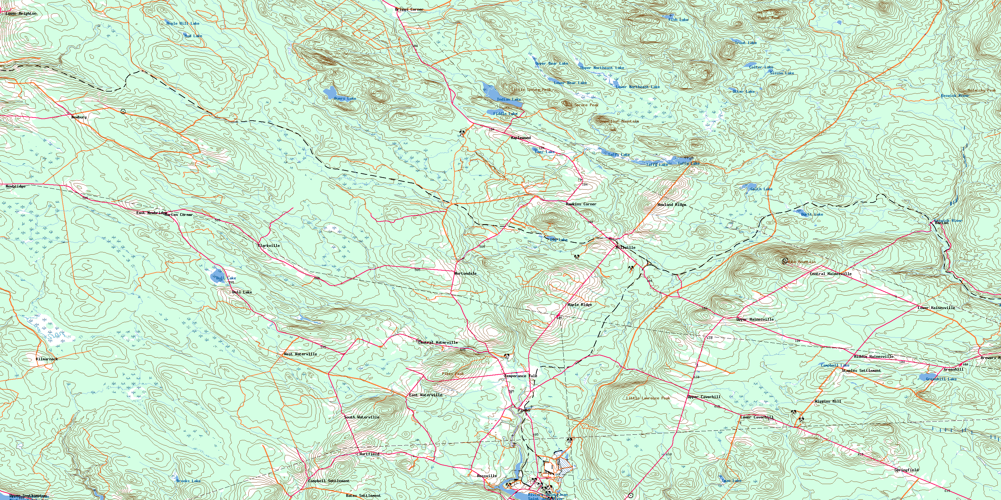
© Department of Natural Resources Canada. All rights reserved.
021J Related Maps:
021J Woodstock021J01 Minto
021J02 Burtts Corner
021J03 Millville
021J04 Woodstock
021J05 Florenceville
021J06 Coldstream
021J07 Napadogan
021J08 Boiestown
021J09 Doaktown
021J10 Hayesville
021J11 Juniper
021J12 Perth-Andover
021J13 Aroostook
021J14 Plaster Rock
021J15 Tuadook Lake
021J16 Mckendrick Lake
