Wheatley Topo Map Online
Download Free Topo Map Sheet 040J01 at 1:50,000 scale
040J01 Wheatley Topo Map
To view this map, mouse over the map preview on the right.
You can also download this topo map for free:
040J01 Wheatley high-resolution topo map image.
Maps for the Wheatley topo map sheet 040J01 at 1:50,000 scale are also available in these versions:
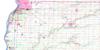
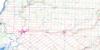
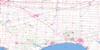
Wheatley Surrounding Area Topo Maps
 |
|||
 |
 |
||
 |
 |
 |
|
 |
 |
 |
© Department of Natural Resources Canada. All rights reserved.
Wheatley Gazetteer
The following places can be found on topographic map sheet 040J01 Wheatley:
Wheatley Topo Map: Bays
Wheatley HarbourWheatley Topo Map: Beaches
Marentette BeachWheatley Topo Map: City
Chatham-KentWheatley Topo Map: Geographical areas
EssexKent
Mersea
Raleigh
Romney
Tilbury East
Tilbury North
Tilbury West
Wheatley Topo Map: Hydraulic construction
Coatsworth-Robinson DrainHenry Robinson Drain
Tunnel Drain
Wheatley Topo Map: Lakes
Lac ÉriéLake Erie
Wheatley Topo Map: Major municipal/district area - major agglomerations
EssexKent
Wheatley Topo Map: Other municipal/district area - miscellaneous
CamdenChatham
Dover
Harwich
Howard
Maidstone
Mersea
Orford
Raleigh
Rochester
Romney
Tilbury East
Tilbury North
Tilbury West
Zone
Wheatley Topo Map: Conservation areas
Wheatley Provincial ParkWheatley Topo Map: Rivers
Baptiste CreekBig Creek
East Two Creeks
Grand Crique
Hillman Creek
Muddy Creek
Tilbury Creek
West Two Creeks
Yellow Creek
Wheatley Topo Map: Towns
LakeshoreLeamington
Wheatley Topo Map: Unincorporated areas
CoatsworthCoatsworth Station
Dealtown
Elmdale
Glenwood
Holiday Harbour
Marentette Beach
Merlin
Ouvry
Port Alma
Port Crewe
Quinn
Renwick
Romney
Stevenson
Stewart
Valetta
Wheatley
Windfall
Wheatley Topo Map: Low vegetation
Hillman Marsh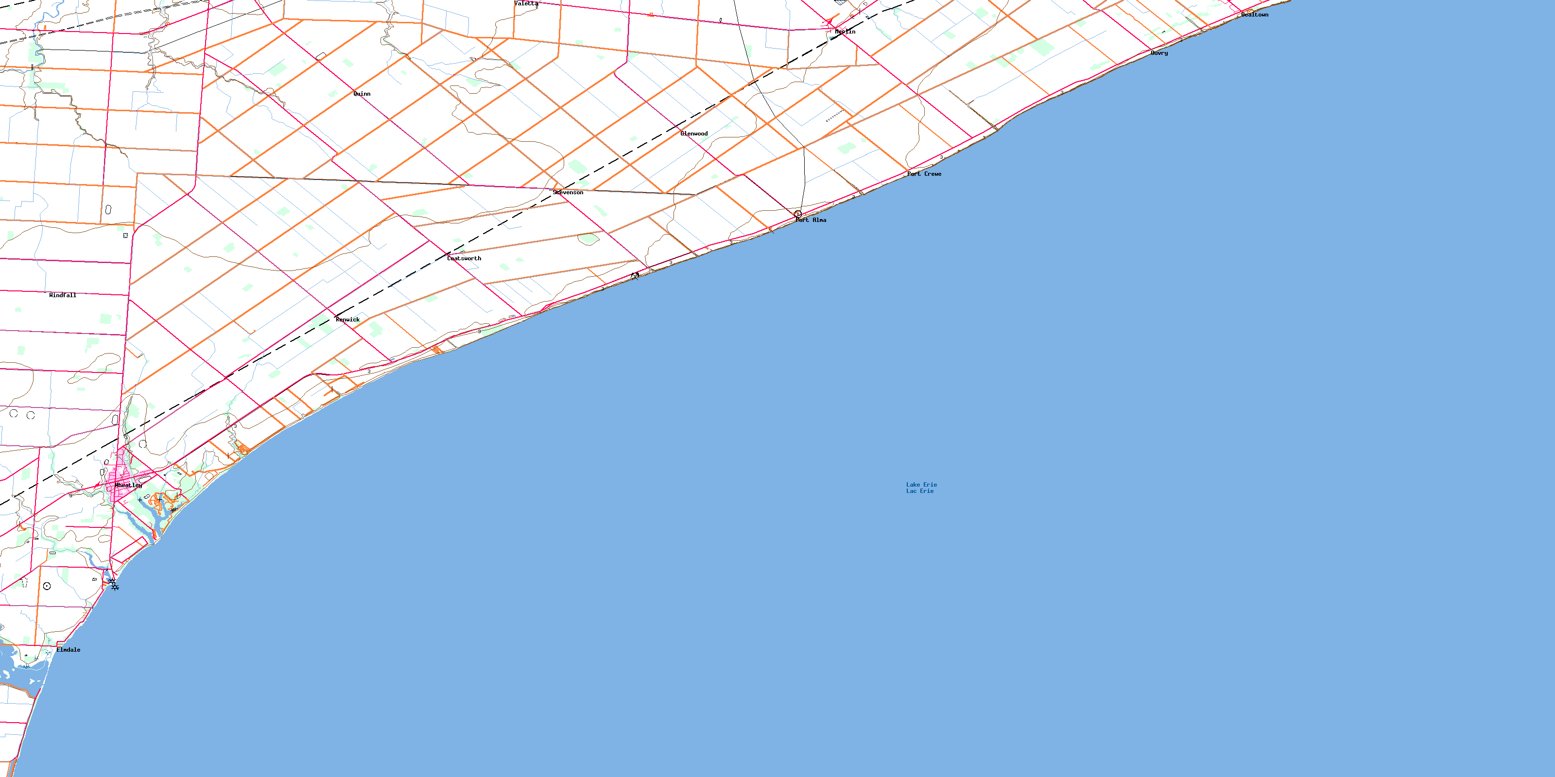
© Department of Natural Resources Canada. All rights reserved.
