Chatham Topo Map Online
Download Free Topo Map Sheet 040J08 at 1:50,000 scale
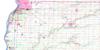
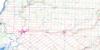
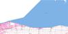
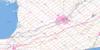
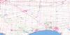
040J08 Chatham Topo Map
To view this map, mouse over the map preview on the right.
You can also download this topo map for free:
040J08 Chatham high-resolution topo map image.
Maps for the Chatham topo map sheet 040J08 at 1:50,000 scale are also available in these versions:
Chatham Surrounding Area Topo Maps
 |
|||
 |
 |
||
 |
 |
 |
|
 |
 |
 |
© Department of Natural Resources Canada. All rights reserved.
Chatham Gazetteer
The following places can be found on topographic map sheet 040J08 Chatham:
Chatham Topo Map: Bays
Cul de SacJohnston Bay
Mitchell Bay
Mitchell's Bay
Mud Bay
Patricks Cove
St. Lukes Bay
Chatham Topo Map: Capes
Mitchell PointMitchell's Point
Ticky Tacky Point
Chatham Topo Map: Channels
Johnston ChannelTravellers Gap
Chatham Topo Map: City
Chatham-KentChatham Topo Map: Geographical areas
ChathamDover
Harwich
Howard
Kent
Lambton
Raleigh
Sombra
Tilbury East
Tilbury North
Tilbury West
Chatham Topo Map: Hydraulic construction
Boyle DrainBrown Drain
Dolson Drain
Ferguson Drain
Lock Drain
McFarlane Relief Drain
Proctor Drain
Chatham Topo Map: Indian Reserves
Réserve indienne Walpole Island 46Walpole Island Indian Reserve 46
Chatham Topo Map: Islands
Grassy Bend IslandsMartin Island
St. Anne Island
Walpole Island
Chatham Topo Map: Lakes
Club House PondGoose Lake
Lac Érié
Lac Sainte-Claire
Lake Erie
Lake St. Clair
South Pond
Chatham Topo Map: Military areas
Cedar Springs RangeChamp de tir Cedar Springs
Chatham Topo Map: Major municipal/district area - major agglomerations
EssexKent
Lambton
Chatham Topo Map: Other municipal/district area - miscellaneous
CamdenChatham
Dover
Harwich
Howard
Maidstone
Orford
Raleigh
Rochester
Romney
Tilbury East
Tilbury North
Tilbury West
Zone
Chatham Topo Map: Conservation areas
Réserve nationale de faune de Sainte-ClaireSt. Clair National Wildlife Area
Chatham Topo Map: Rivers
Arnold CreekBaptiste Creek
Big Creek
Big Creek
Cheff Creek
Chenail Ecarté (The Snye)
Chenal Ecarté
Dolson Creek
Dolson Creek
Dolson Creek
Grand Crique
Indian Creek
Jeannettes Creek
McGregor Creek
Paincourt Creek
Rankin Creek
Rivière Thames
Thames River
Tilbury Creek
Wolfe Creek
Chatham Topo Map: Towns
LakeshoreChatham Topo Map: Unincorporated areas
ArkwoodBagnall
Baldoon
Bear Line
Big Point
Blenheim
Blenheim Junction
Bradley
Buxton
Cedar Springs
Charing Cross
Chatham
Darrell
Dealtown
Dover Centre
Doyles
Dubuque
Erie Beach
Fargo
Fletcher
Grande Pointe
Hoffman Corners
Huffman Corners
Jeanette
Jeannette
Jeannettes Creek
Kent Centre
Louisville
Mitchell Bay
Mitchell's Bay
North Buxton
Northwood
Oriole Parkway
Oungah
Pain Court
Paincourt
Pinehurst
Prairie Siding
Rhodes
Richardson
Ringold
Riverside Trailer Park
Sandison
South Buxton
Tilbury
Tilbury Station
Valetta
Van Horne
Vosburg
Wilsonwood
Chatham Topo Map: Low vegetation
Bradley's MarshChatham Topo Map: Villages
Tilbury Centre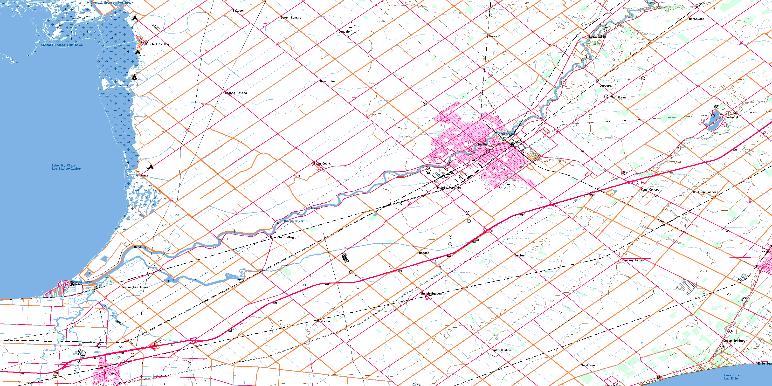
© Department of Natural Resources Canada. All rights reserved.
