Port Lambton Topo Map Online
Download Free Topo Map Sheet 040J10 at 1:50,000 scale
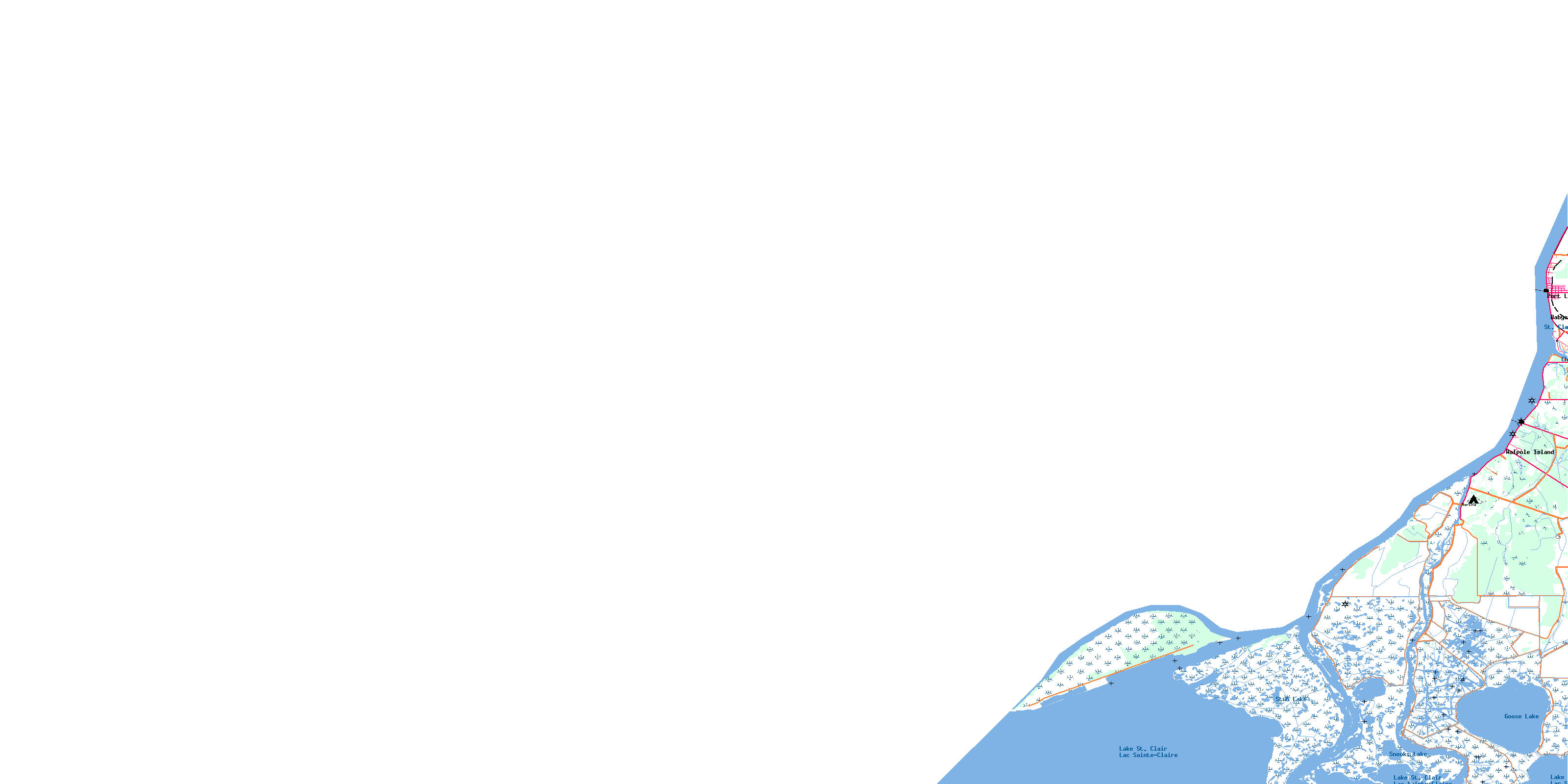
040J10 Port Lambton Topo Map
To view this map, mouse over the map preview on the right.
You can also download this topo map for free:
040J10 Port Lambton high-resolution topo map image.
Maps for the Port Lambton topo map sheet 040J10 at 1:50,000 scale are also available in these versions:
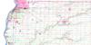
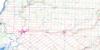
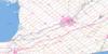
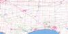
Port Lambton Surrounding Area Topo Maps
 |
|||
 |
 |
||
 |
 |
 |
|
 |
 |
 |
© Department of Natural Resources Canada. All rights reserved.
Port Lambton Gazetteer
The following places can be found on topographic map sheet 040J10 Port Lambton:
Port Lambton Topo Map: Bays
Bass BayJohnston Bay
Pocket Bay
Walpole Bay
Port Lambton Topo Map: Capes
Babys PointPort Lambton Topo Map: Channels
Chematogan ChannelDynamite Cut
Little Bassett Channel
Pottowatamie Island Dredge Cut
St. Clair Cutoff
Port Lambton Topo Map: Geographical areas
LambtonSombra
Port Lambton Topo Map: Indian Reserves
Réserve indienne Walpole Island 46Walpole Island 46
Walpole Island Indian Reserve 46
Port Lambton Topo Map: Islands
Bassett IslandPottaminie Island
Pottowatamie Island
Seaway Island
Squirrel Island
Walpole Island
Port Lambton Topo Map: Lakes
Goose LakeLac Sainte-Claire
Lake St. Clair
Snooks Lake
Stub Lake
Port Lambton Topo Map: Major municipal/district area - major agglomerations
LambtonPort Lambton Topo Map: Other municipal/district area - miscellaneous
MooreSombra
St. Clair
Port Lambton Topo Map: Provinces
OntarioPort Lambton Topo Map: Rivers
Bassett ChannelChenail Ecarté (The Snye)
Chenal Ecarté
Mud Creek
Rivière Sainte-Claire
South Channel
St. Clair River
Port Lambton Topo Map: Unincorporated areas
Babys PointPort Lambton
Walpole Island
© Department of Natural Resources Canada. All rights reserved.
