Elsas Topo Map Online
Download Free Topo Map Sheet 042B10 at 1:50,000 scale
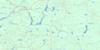
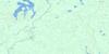
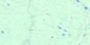
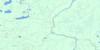
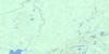
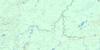
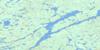
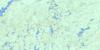
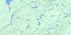
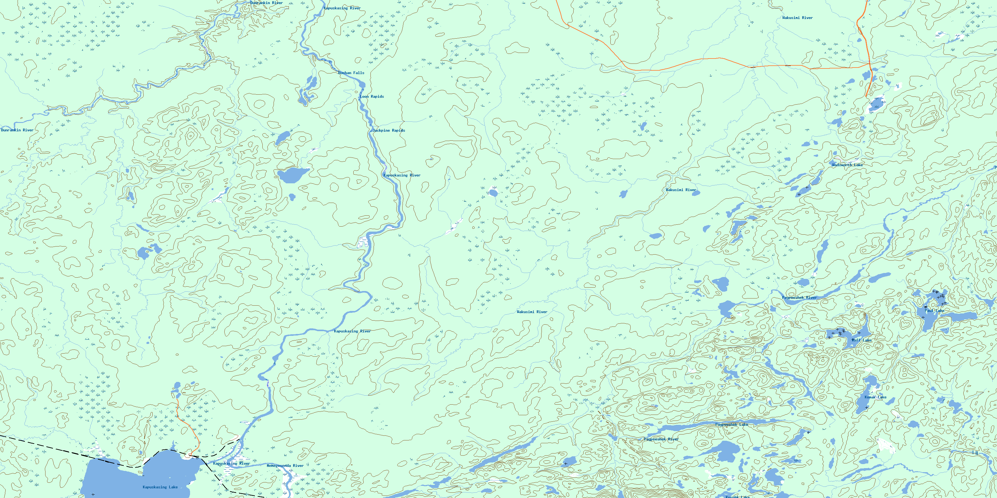
042B10 Elsas Topo Map
To view this map, mouse over the map preview on the right.
You can also download this topo map for free:
042B10 Elsas high-resolution topo map image.
Maps for the Elsas topo map sheet 042B10 at 1:50,000 scale are also available in these versions:
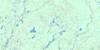
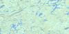
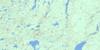
Elsas Surrounding Area Topo Maps
 |
 |
 |
 |
 |
 |
 |
 |
 |
 |
 |
 |
 |
 |
 |
 |
© Department of Natural Resources Canada. All rights reserved.
Elsas Gazetteer
The following places can be found on topographic map sheet 042B10 Elsas:
Elsas Topo Map: Falls
Buchan FallsElsas Topo Map: Geographical areas
AmundsenBuchan
Clouston
Cochrane
Davin
Kapuskasing
Lisgar
Lougheed
Ossin
Wadsworth
Elsas Topo Map: Lakes
Kapuskasing LakeKomak Lake
Kyushk Lake
Paul Lake
Paypeeshek Lake
Raff Lake
Wadsworth Lake
Elsas Topo Map: Conservation areas
Chapleau-Nemegosenda River Provincial ParkElsas Topo Map: Rapids
Jackpine RapidsLoon Rapids
Elsas Topo Map: Rivers
Amundsen CreekDunrankin River
Kapuskasing River
Komak Creek
Lougheed Creek
MacIntosh Creek
Nemegosenda River
Osishana Creek
Paypeeshek River
Rivière de Kapuskasing
Rivière Nemegosenda
Wadsworth Creek
Wakusimi River
Elsas Topo Map: Road features
Jackpine PortageElsas Topo Map: Unincorporated areas
AgateElsas
© Department of Natural Resources Canada. All rights reserved.
042B Related Maps:
042B Foleyet042B01 Foleyet
042B02 Ivanhoe Lake
042B03 Swanson River
042B04 Bolkow
042B05 Missinaibi Lake
042B06 Makonie Lake
042B07 Missonga
042B08 Oswald Lake
042B09 Elf Lake
042B10 Elsas
042B11 Peterbell
042B12 Greenhill River
042B13 Minnipuka
042B14 Ericson Creek
042B15 Allenby Creek
042B16 Griffin Lake
