Foleyet Topo Map Online
Download Free Topo Map Sheet 042B01 at 1:50,000 scale
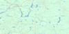
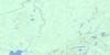
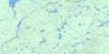
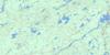
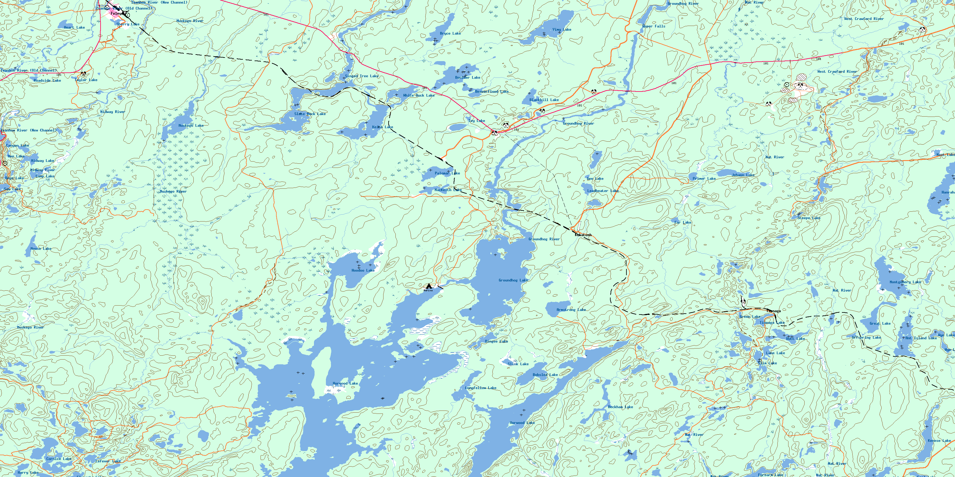
042B01 Foleyet Topo Map
To view this map, mouse over the map preview on the right.
You can also download this topo map for free:
042B01 Foleyet high-resolution topo map image.
Maps for the Foleyet topo map sheet 042B01 at 1:50,000 scale are also available in these versions:
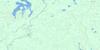
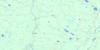
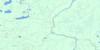
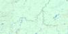
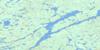
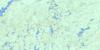
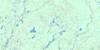
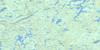
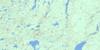
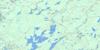
Foleyet Surrounding Area Topo Maps
 |
 |
 |
 |
 |
 |
 |
 |
 |
 |
 |
 |
 |
 |
 |
 |
© Department of Natural Resources Canada. All rights reserved.
Foleyet Gazetteer
The following places can be found on topographic map sheet 042B01 Foleyet:
Foleyet Topo Map: Bays
Hardiman BayFoleyet Topo Map: Capes
Horwood PeninsulaPinecone Point
Foleyet Topo Map: Channels
Old ChannelFoleyet Topo Map: Falls
Upper FallsFoleyet Topo Map: Geographical areas
FoleyetHardiman
Horwood
Ivanhoe
Keith
Kenogaming
Muskego
Penhorwood
Reeves
Regan
Sewell
Silk
Whigham
Foleyet Topo Map: Islands
Birch IslandBlueberry Island
Cranberry Island
East Marsh Island
Kichi Island
Potato Island
West Marsh Island
Foleyet Topo Map: Lakes
Ant Island LakeArmstrong Lake
Axe Lake
Beaverflood Lake
Beckham Lake
Ben's Pond
Big Boulder Lake
Blackbill Lake
Bobsled Lake
Boulder Lake
Boys Lake
Bryce Lake
Butt Lake
Camp Lake
Canyon Lake
Cornice Lake
Dingee Lake
Elongate Lake
Far Lake
Fool Lake
Forearm Lake
Gee Lake
Great Lake
Green Lake
Groundhog Lake
Hanrahan Lake
Harry Lake
Heart Lake
Hoodoo Lake
Horwood Lake
Ivanhoe Lake
Ivy Lake
Jehann Lake
Keith Lake
Kenese Lake
Lane Lake
Larrabee Lake
Leadbeater Lake
Lefever Lake
Longfellow Lake
MacKeith Lake
Midway Lake
Montgomery Lake
Moose Lake
Muskego Lake
Nest Lake
Offspring Lake
Palomar Lake
Primer Lake
Roadside Lake
Saw Lake
Sherry Lake
Singed Tree Lake
Slate Rock Lake
Slim Lake
Slink Lake
Steepe Lake
Taylor Lake
Tionaga Lake
Vimy Lake
White Duck Lake
Wye Lake
Foleyet Topo Map: Mountains
Radio HillFoleyet Topo Map: Conservation areas
Ivanhoe Lake Provincial ParkVimy Lake Uplands Conservation Reserve
Foleyet Topo Map: Rivers
Bryce CreekCornice Creek
Deerfoot Creek
East Branch Nat River
Groundhog River
Ivanhoe River
Ivanhoe River (New Channel)
Ivanhoe River (Old Channel)
Keith Creek
Kenese Creek
Marl Creek
Midway River
Moonshine Creek
Muskego River
Nat River
North Storm Creek
Rivière Groundhog
Scorch Creek
Storm Creek
Vimy Creek
West Branch Nat River
West Crawford Creek
West Crawford River
West Creek
Foleyet Topo Map: Unincorporated areas
FoleyetGroundhog River
Horwood Lake
Joburke
Kukatush
Palomar
Singelake
Tionaga
© Department of Natural Resources Canada. All rights reserved.
042B Related Maps:
042B Foleyet042B01 Foleyet
042B02 Ivanhoe Lake
042B03 Swanson River
042B04 Bolkow
042B05 Missinaibi Lake
042B06 Makonie Lake
042B07 Missonga
042B08 Oswald Lake
042B09 Elf Lake
042B10 Elsas
042B11 Peterbell
042B12 Greenhill River
042B13 Minnipuka
042B14 Ericson Creek
042B15 Allenby Creek
042B16 Griffin Lake
