Minnipuka Topo Map Online
Download Free Topo Map Sheet 042B13 at 1:50,000 scale
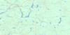
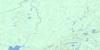
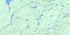
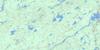
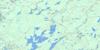
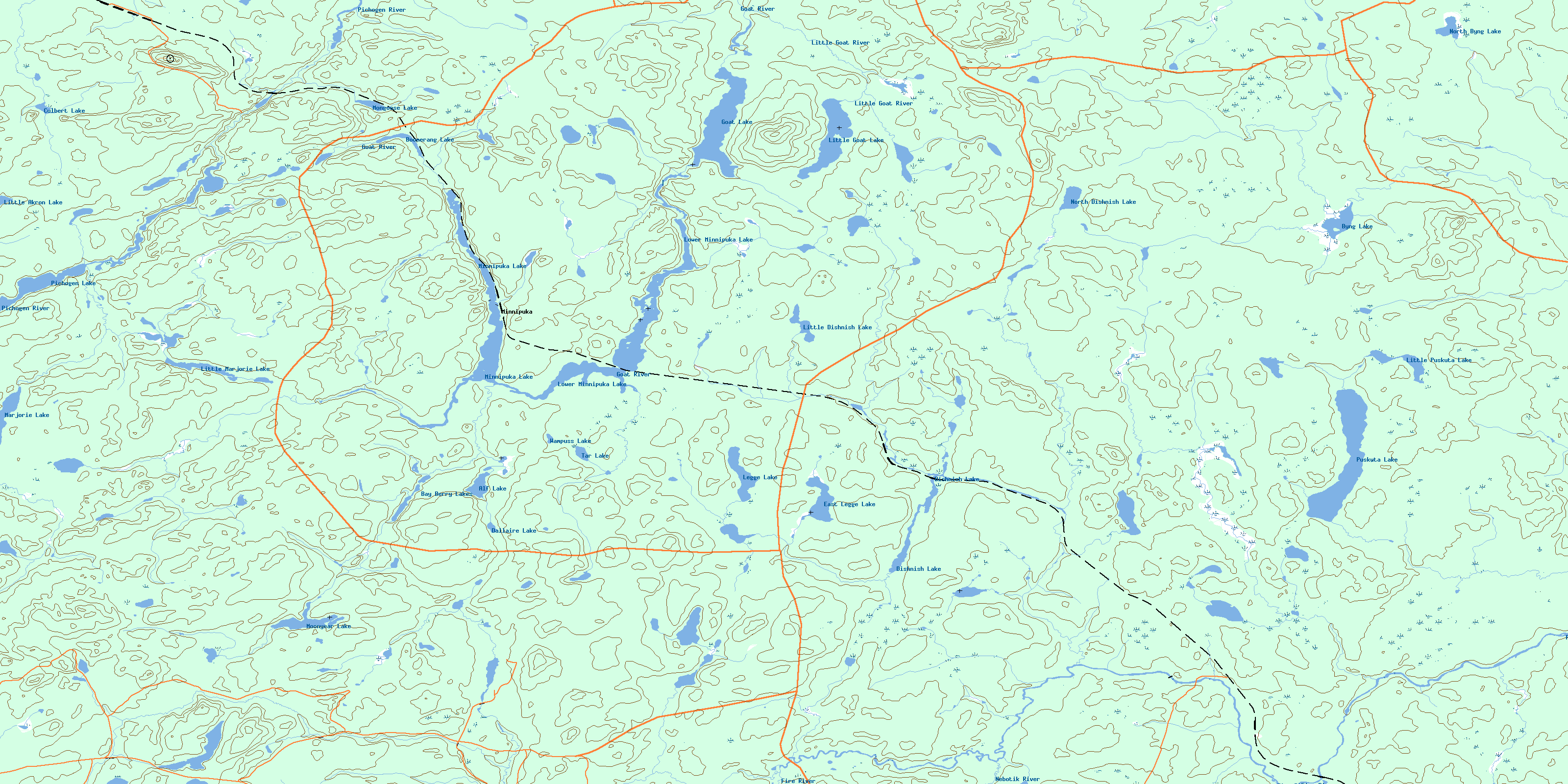
042B13 Minnipuka Topo Map
To view this map, mouse over the map preview on the right.
You can also download this topo map for free:
042B13 Minnipuka high-resolution topo map image.
Maps for the Minnipuka topo map sheet 042B13 at 1:50,000 scale are also available in these versions:
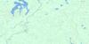
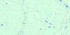
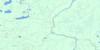
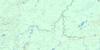
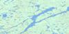
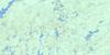
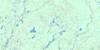
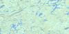
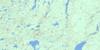
Minnipuka Surrounding Area Topo Maps
 |
 |
 |
 |
 |
 |
 |
 |
 |
 |
 |
 |
 |
 |
 |
 |
© Department of Natural Resources Canada. All rights reserved.
Minnipuka Gazetteer
The following places can be found on topographic map sheet 042B13 Minnipuka:
Minnipuka Topo Map: Bays
Smoky BayMinnipuka Topo Map: Geographical areas
ByngHayward
Hook
Kildare
Legge
Marjorie
Mildred
Minnipuka
Puskuta
Walls
Minnipuka Topo Map: Lakes
Alf LakeBay Berry Lakes
Boomerang Lake
Byng Lake
Culbert Lake
Dallaire Lake
Dishnish Lake
East Legge Lake
Goat Lake
Legge Lake
Little Akron Lake
Little Dishnish Lake
Little Goat Lake
Little Marjorie Lake
Little Puskuta Lake
Lower Minnipuka Lake
Marjorie Lake
Minnipuka Lake
Mongoose Lake
Moonyear Lake
North Byng Lake
North Dishnish Lake
Pichogen Lake
Puskuta Lake
Tar Lake
Walls Lake
Wampuss Lake
Minnipuka Topo Map: Conservation areas
Pichogen River Mixed Forest Provincial ParkMinnipuka Topo Map: Rivers
Byng CreekCulbert Creek
Dallaire Creek
Dishnish Creek
Fire River
Goat River
Legge Creek
Little Goat River
Little Marjorie Creek
Marjorie Creek
Mildred Creek
Minnipuka Creek
Nebotik River
North Byng Creek
North Dishnish Creek
Pichogen River
Puskuta Creek
Smoky Creek
Tar Creek
Minnipuka Topo Map: Unincorporated areas
DishnishFire River
Kishbaugh
Minnipuka
Neswabin
© Department of Natural Resources Canada. All rights reserved.
042B Related Maps:
042B Foleyet042B01 Foleyet
042B02 Ivanhoe Lake
042B03 Swanson River
042B04 Bolkow
042B05 Missinaibi Lake
042B06 Makonie Lake
042B07 Missonga
042B08 Oswald Lake
042B09 Elf Lake
042B10 Elsas
042B11 Peterbell
042B12 Greenhill River
042B13 Minnipuka
042B14 Ericson Creek
042B15 Allenby Creek
042B16 Griffin Lake
