Missinaibi Lake Topo Map Online
Download Free Topo Map Sheet 042B05 at 1:50,000 scale
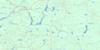
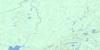
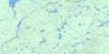
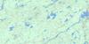
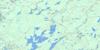
042B05 Missinaibi Lake Topo Map
To view this map, mouse over the map preview on the right.
You can also download this topo map for free:
042B05 Missinaibi Lake high-resolution topo map image.
Maps for the Missinaibi Lake topo map sheet 042B05 at 1:50,000 scale are also available in these versions:
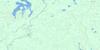
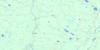
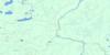
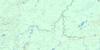
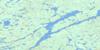
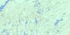
Missinaibi Lake Surrounding Area Topo Maps
 |
 |
 |
 |
 |
 |
 |
 |
 |
 |
 |
 |
 |
 |
 |
 |
© Department of Natural Resources Canada. All rights reserved.
Missinaibi Lake Gazetteer
The following places can be found on topographic map sheet 042B05 Missinaibi Lake:
Missinaibi Lake Topo Map: Bays
Baltic BayBarclay Bay
Fifty Seven Bay
Iron Bay
Jenner Bay
Lee Bay
Snake Arm Bay
South Bay
Missinaibi Lake Topo Map: Capes
Eli PointFairy Point
Red Granite Point
Missinaibi Lake Topo Map: Falls
Whitefish FallsMissinaibi Lake Topo Map: Geographical areas
44Abbey
Abigo
Admiral
Amik
Baltic
Barclay
Brackin
Clifton
Kildare
Lang
Leeson
Marsh
Missinaibi
Rennie
Stover
Winget
Missinaibi Lake Topo Map: Islands
Mary IslandReva Island
Missinaibi Lake Topo Map: Lakes
Abbey LakeAdmiral Lake
Alister Lake
Anjigame Lake
Apisabigo Lake
Ash Lake
Backup Lake
Baltimore Lake
Bar Lake
Battley Lake
Bing Lake
Bobtail Lake
Bothnia Lake
Brac Lake
Burton Lake
Butler Lake
Campbell Lake
Colborne Lake
Conboy Lake
Cormick Lake
Crazy Lake
Crooked Lake
Dog Lake
Duckbill Lake
Elbow Lake
Fireline Lake
Funnel Lake
Garvey Lake
Green Tree Lake
Hall Lake
Kin Lake
Lanceley Lake
Leeson Lake
Little Missinaibi Lake
Malmo Lake
Mang Lake
Missibay Lake
Missinaibi Lake
Monk Lake
Oso Lake
Overland Lake
Oxbow Lake
Parnu Lake
Peel Lake
Pogo Lake
Prospect Lake
Puppy Lake
Quary Lake
Reek Lake
Ren Lake
Renabie Lake
Rennie Lake
Riga Lake
Ruby Lake
Sab Lake
Seal Lake
Smallboy Lake
South Greenhill Lake
Spear Lake
Spout Lake
Spring Lake
Stephenson Lake
Stover Lake
Trem Lake
Trump Lake
Tucker Lake
Missinaibi Lake Topo Map: Other municipal/district area - miscellaneous
RenabieMissinaibi Lake Topo Map: Conservation areas
Fairy Point Wilderness AreaMissinaibi Provincial Park
Whitefish Falls Wilderness Area
Missinaibi Lake Topo Map: Rivers
Abbey CreekAdmiral Creek
Apisabigo Creek
Butler Creek
Cormick Creek
Leeson Creek
Little Missinaibi River
Mang Creek
Renabie Creek
Rennie Creek
South Greenhill River
Stover Creek
Trump Creek
Missinaibi Lake Topo Map: Road features
Height of Land PortageMissinaibi Portage
Missinaibi Lake Topo Map: Unincorporated areas
Renabie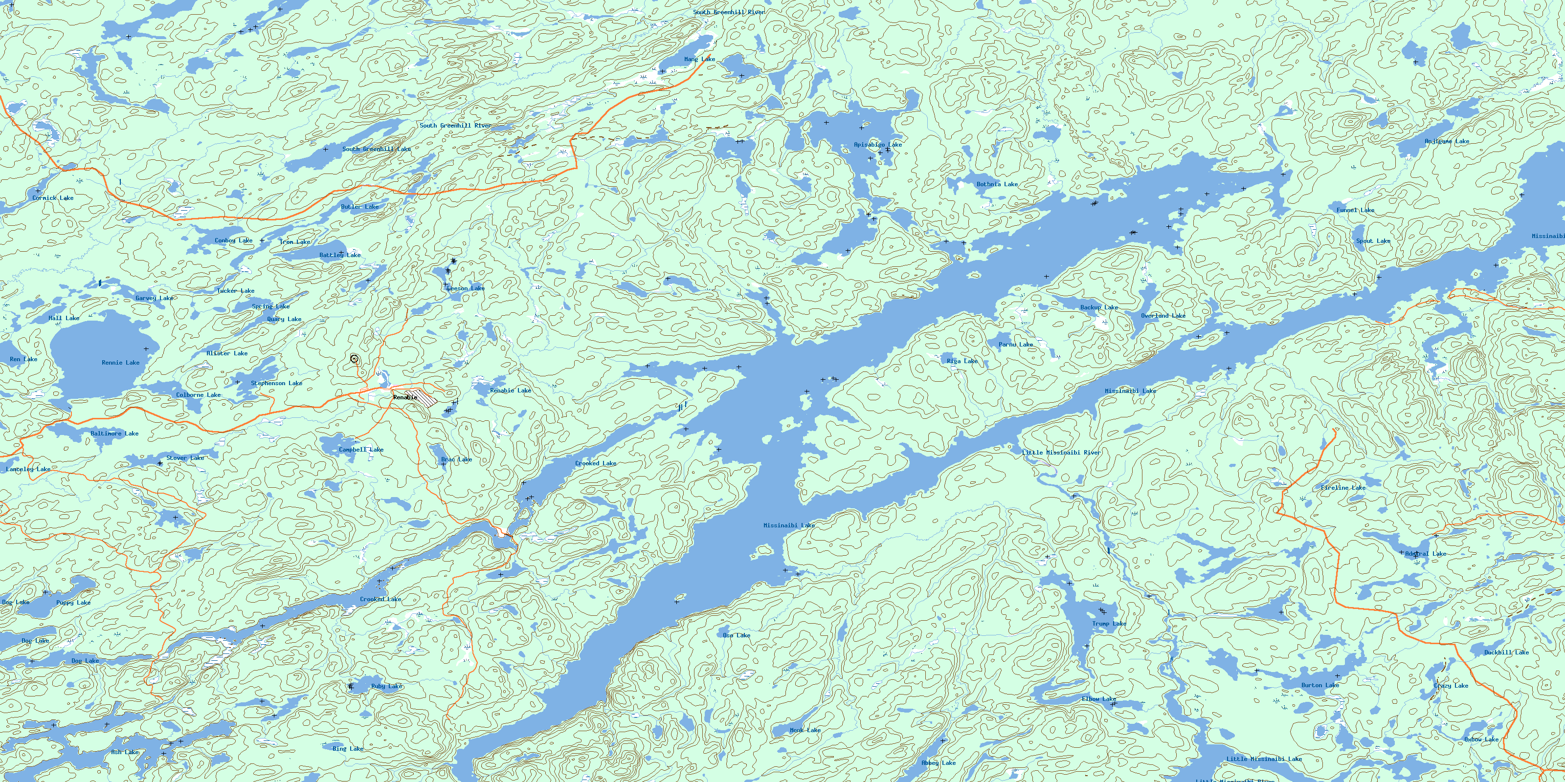
© Department of Natural Resources Canada. All rights reserved.
042B Related Maps:
042B Foleyet042B01 Foleyet
042B02 Ivanhoe Lake
042B03 Swanson River
042B04 Bolkow
042B05 Missinaibi Lake
042B06 Makonie Lake
042B07 Missonga
042B08 Oswald Lake
042B09 Elf Lake
042B10 Elsas
042B11 Peterbell
042B12 Greenhill River
042B13 Minnipuka
042B14 Ericson Creek
042B15 Allenby Creek
042B16 Griffin Lake
