Allenby Creek Topo Map Online
Download Free Topo Map Sheet 042B15 at 1:50,000 scale
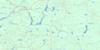
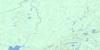
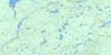
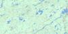
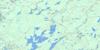
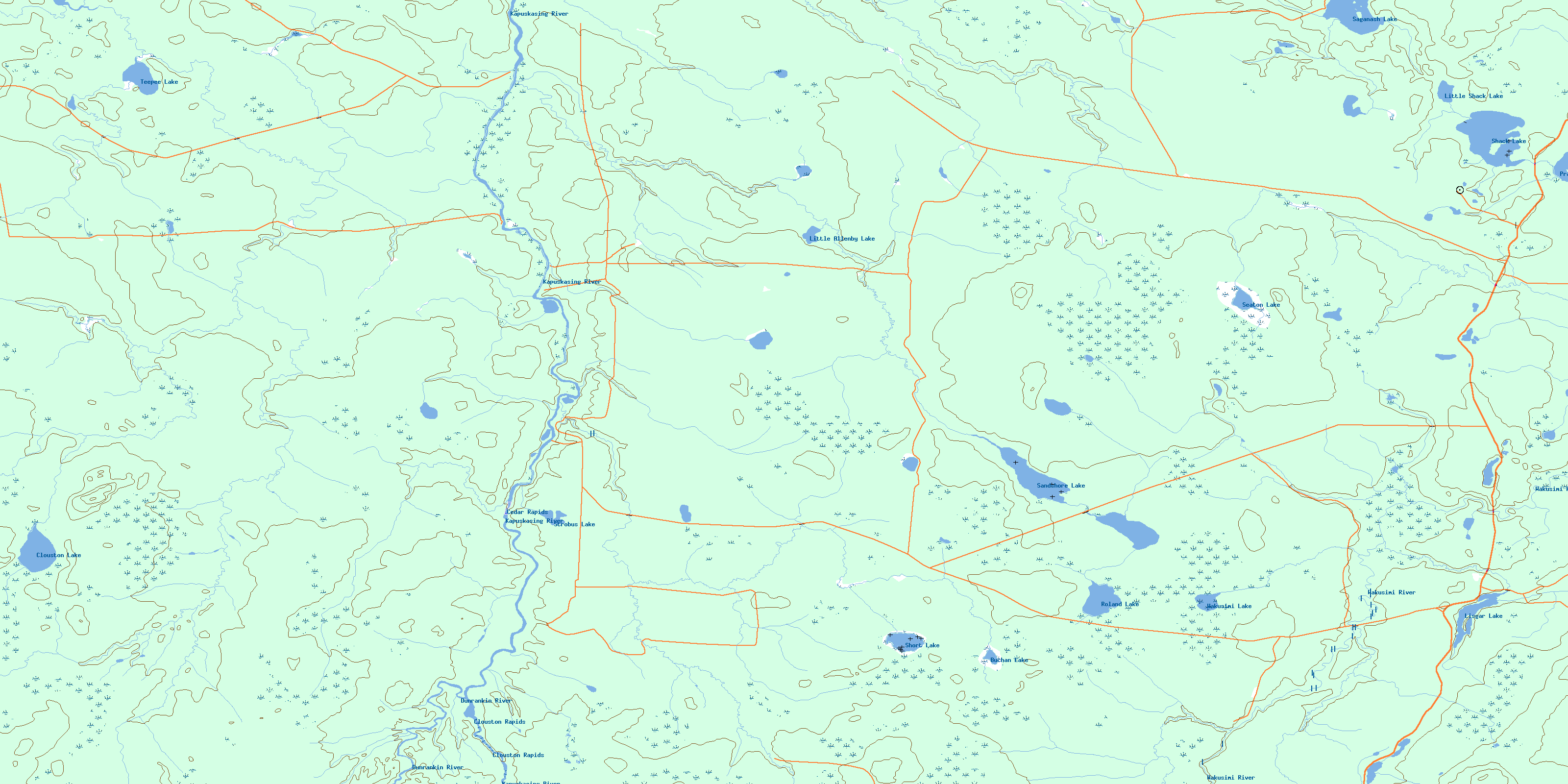
042B15 Allenby Creek Topo Map
To view this map, mouse over the map preview on the right.
You can also download this topo map for free:
042B15 Allenby Creek high-resolution topo map image.
Maps for the Allenby Creek topo map sheet 042B15 at 1:50,000 scale are also available in these versions:
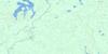
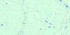
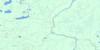
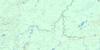
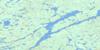
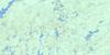
Allenby Creek Surrounding Area Topo Maps
 |
 |
 |
 |
 |
 |
 |
 |
 |
 |
 |
 |
 |
 |
 |
 |
© Department of Natural Resources Canada. All rights reserved.
Allenby Creek Gazetteer
The following places can be found on topographic map sheet 042B15 Allenby Creek:
Allenby Creek Topo Map: Geographical areas
AllenbyBuchan
Clouston
Cochrane
Concobar
Fenton
Lisgar
Maude
Oscar
Seaton
Allenby Creek Topo Map: Lakes
Buchan LakeClouston Lake
Lisgar Lake
Little Allenby Lake
Little Shack Lake
Pratt Lake
Roland Lake
Saganash Lake
Sandshore Lake
Seaton Lake
Shack Lake
Short Lake
Strobus Lake
Teepee Lake
Wakusimi Lake
Allenby Creek Topo Map: Rapids
Cedar RapidsClouston Rapids
Allenby Creek Topo Map: Rivers
Allenby CreekBuchan Creek
Concobar Creek
Dunrankin River
Kapuskasing River
Lisgar Creek
MacIntosh Creek
Maude Creek
Picea Creek
Rivière de Kapuskasing
Seaton Creek
Shack Creek
Shanly Creek
Short Creek
Teepee Creek
Wakusimi River
Wigwam Creek
© Department of Natural Resources Canada. All rights reserved.
042B Related Maps:
042B Foleyet042B01 Foleyet
042B02 Ivanhoe Lake
042B03 Swanson River
042B04 Bolkow
042B05 Missinaibi Lake
042B06 Makonie Lake
042B07 Missonga
042B08 Oswald Lake
042B09 Elf Lake
042B10 Elsas
042B11 Peterbell
042B12 Greenhill River
042B13 Minnipuka
042B14 Ericson Creek
042B15 Allenby Creek
042B16 Griffin Lake
