Sunshine Topo Map Online
Download Free Topo Map Sheet 052A12 at 1:50,000 scale
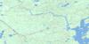
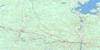
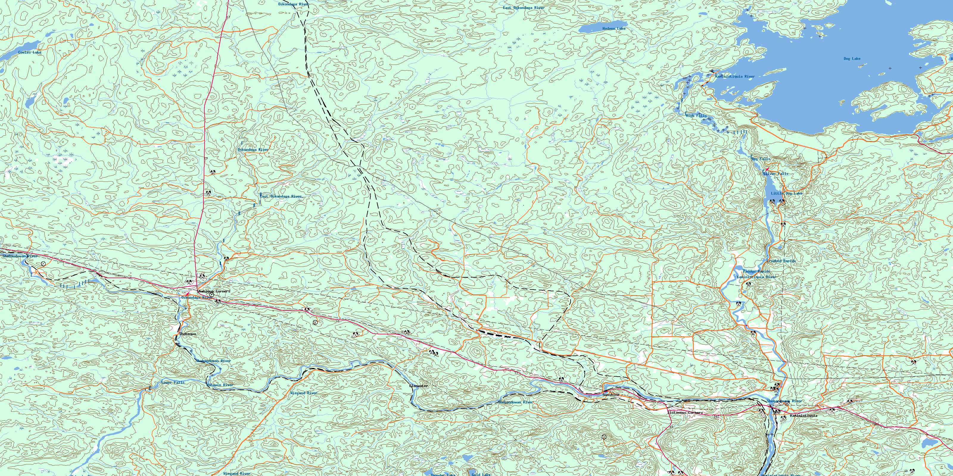
052A12 Sunshine Topo Map
To view this map, mouse over the map preview on the right.
You can also download this topo map for free:
052A12 Sunshine high-resolution topo map image.
Maps for the Sunshine topo map sheet 052A12 at 1:50,000 scale are also available in these versions:
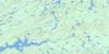
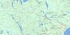
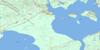
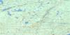
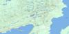
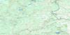
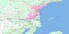
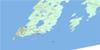
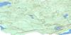
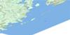
Sunshine Surrounding Area Topo Maps
 |
 |
 |
 |
 |
 |
 |
 |
 |
 |
 |
 |
 |
 |
© Department of Natural Resources Canada. All rights reserved.
Sunshine Gazetteer
The following places can be found on topographic map sheet 052A12 Sunshine:
Sunshine Topo Map: Bays
Buda BayHawk Bay
Stirrett Bay
Sunshine Topo Map: Capes
Bad PointSunshine Topo Map: Falls
Dog FallsHigh Falls
Lower Falls
Silver Falls
Sunshine Topo Map: Geographical areas
BlackwellForbes
Fowler
Goldie
Horne
Laurie
Soper
Ware
Sunshine Topo Map: Lakes
Bolduc LakeCowles Lake
Dog Lake
Gold Lake
Hadwen Lake
Little Dog Lake
Mokomon Lake
Mud Lake
Thunder Lake
Sunshine Topo Map: Other municipal/district area - miscellaneous
OliverOliver Paipoonge
Paipoonge
Sunshine Topo Map: Conservation areas
Silver Falls Provincial ParkSunshine Topo Map: Rapids
Crooked RapidsPaddys Rapids
Sunshine Topo Map: Rivers
Depot CreekDrift Creek
East Oskondaga River
Hawkeye Creek
Kaministikwia River
Kaministiquia River
Matawin River
Oskondaga River
Portage Creek
Portage Creek
Shebandowan River
Strawberry Creek
Sunshine Creek
Wiegand River
Sunshine Topo Map: Road features
The LiftoverSunshine Topo Map: Unincorporated areas
BudaConmee
Dog River
Ellis
Finmark
Flett
Glenwater
Griff
Kaministikwia
Kaministiquia
Mabella
Oskondaga
Shabaqua
Shabaqua Corners
Sistonens Corners
Sunshine
© Department of Natural Resources Canada. All rights reserved.
