Jarvis River Topo Map Online
Download Free Topo Map Sheet 052A03 at 1:50,000 scale
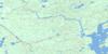
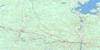
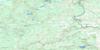
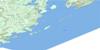
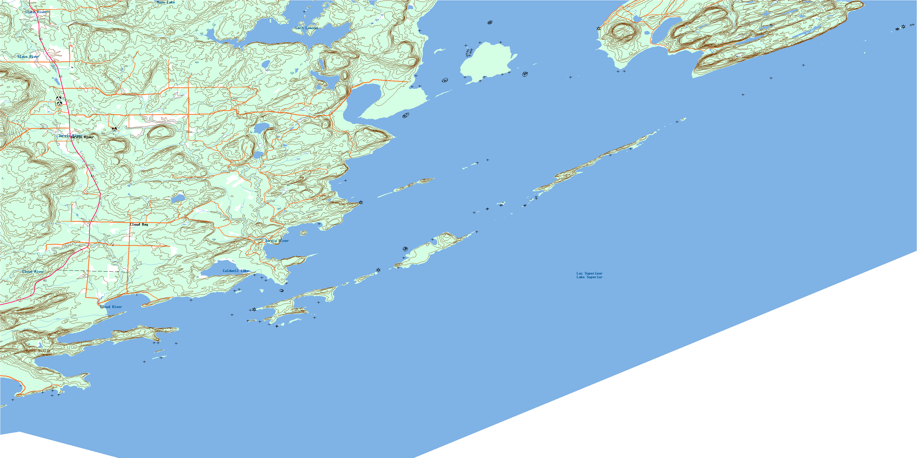
052A03 Jarvis River Topo Map
To view this map, mouse over the map preview on the right.
You can also download this topo map for free:
052A03 Jarvis River high-resolution topo map image.
Maps for the Jarvis River topo map sheet 052A03 at 1:50,000 scale are also available in these versions:
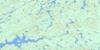
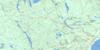
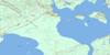
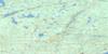
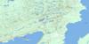
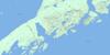
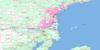
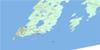
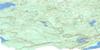
Jarvis River Surrounding Area Topo Maps
 |
 |
 |
 |
 |
 |
 |
 |
 |
 |
 |
 |
 |
 |
© Department of Natural Resources Canada. All rights reserved.
Jarvis River Gazetteer
The following places can be found on topographic map sheet 052A03 Jarvis River:
Jarvis River Topo Map: Bays
Big Trout BayCloud Bay
Cosgrave Bay
Crystal Bay
Dawson Bay
Flatland Harbour
Jarvis Bay
Little Trout Bay
Mink Bay
Pigeon Bay
Pine Bay
Prince Bay
Sturgeon Bay
Thunder Bay
Victoria Cove
Jarvis River Topo Map: Capes
Caldwell PointGreenstone Point
Jarvis Point
Keefer Point
McKellar Point
Mink Point
Pine Point
Prince Point
Russell Point
Sturgeon Point
Turtle Head
Wiley Point
Zealand Spit
Jarvis River Topo Map: Channels
Spar ChannelJarvis River Topo Map: Geographical areas
BlakeCrooks
Neebing
Jarvis River Topo Map: Islands
Albert IslandsAnderson Island
Angus Islands
Beaver Island
Birch Island
Bonnet Island
Bradshaw Island
Caldwell Island
Campbell Island
Cloud Islands
Cone Island
Deadman Island
Devil Island
Dog Island
Eva Islands
Flatland Island
Hamilton Islands
Harty Island
Hawken Island
Jarvis Island
Magee Island
Mink Island
Moonshine Island
Muskrat Island
Naomi Island
Nisbet Island
Pie Island
Prefontaine Island
Robertson Island
Robertson Islands
Singleton Island
Sister Islands
Slipper Island
South McKellar Island
Spar Island
Steamboat Island
Sturgeon Island
Sucker Island
Thompson Island
Tiger Island
Victoria Island
White Island
Windigo Island
Jarvis River Topo Map: Lakes
Caldwell LakeLac Supérieur
Lake Superior
Loch Lomond
Moon Lake
Perch Lake
Ward Lake
Jarvis River Topo Map: Mountains
Le PâtéMount Mollie
The Sugarloaf
Jarvis River Topo Map: Conservation areas
Le Pate Provincial Nature ReserveThompson Island Provincial Nature Reserve
Jarvis River Topo Map: Rivers
Cloud RiverJarvis River
Lomond River
Jarvis River Topo Map: Shoals
Alexander ReefArabian Rock
Baker Rock
Caldwell Shoal
Cohen Rock
Craig Rock
Flatland Reef
Iroquois Rock
Jarvis Rock
Lord Stanley Rock
Pinnacle Rock
Rolland Rock
Rowan Reef
Sly Rock
Spar Reef
Swan Rock
Tiger Rock
Jarvis River Topo Map: Towns
NeebingJarvis River Topo Map: Unincorporated areas
Cloud BayJarvis River
© Department of Natural Resources Canada. All rights reserved.
