Kakabeka Falls Topo Map Online
Download Free Topo Map Sheet 052A05 at 1:50,000 scale
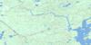
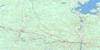
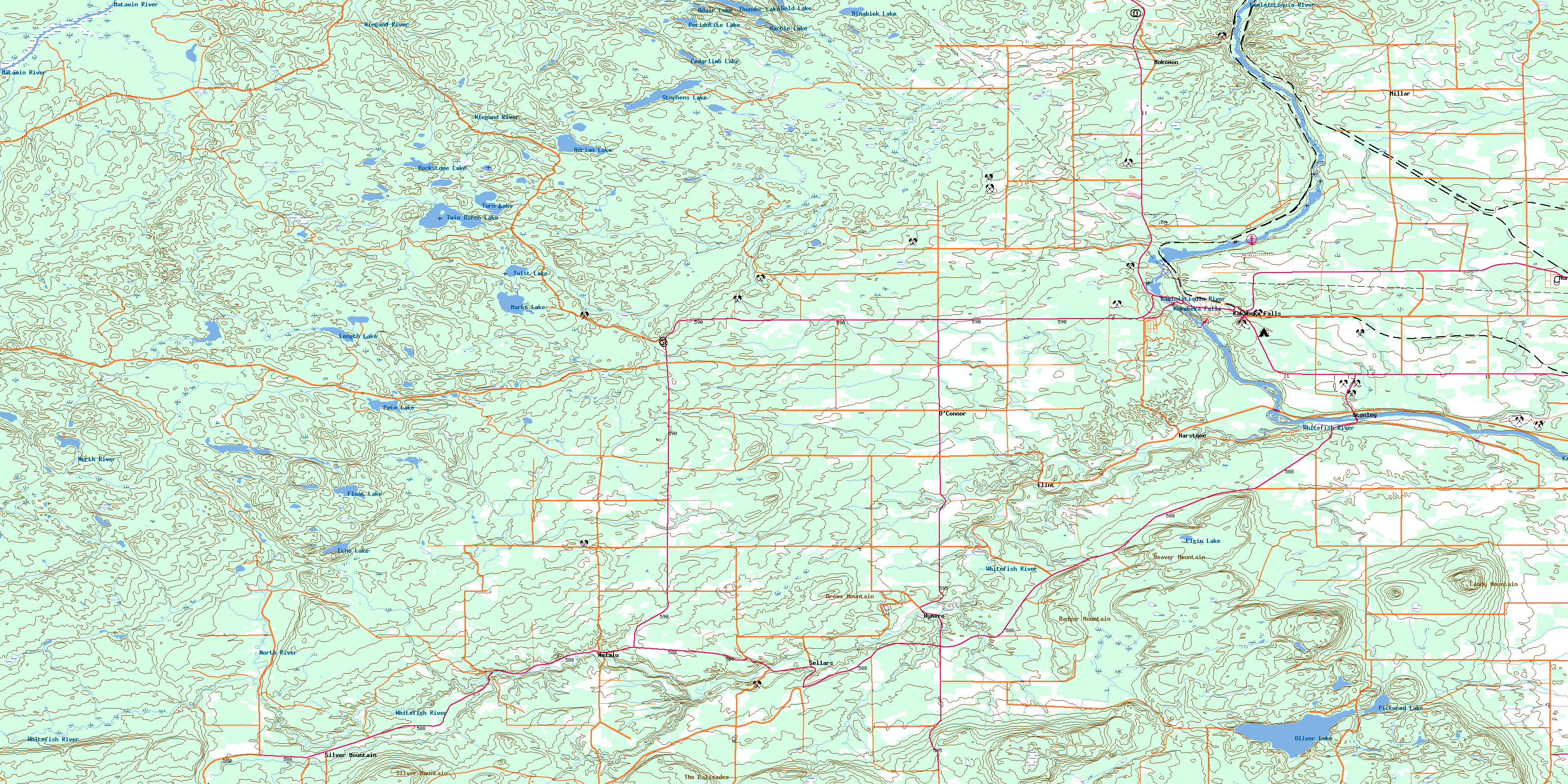
052A05 Kakabeka Falls Topo Map
To view this map, mouse over the map preview on the right.
You can also download this topo map for free:
052A05 Kakabeka Falls high-resolution topo map image.
Maps for the Kakabeka Falls topo map sheet 052A05 at 1:50,000 scale are also available in these versions:
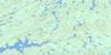
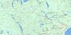
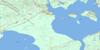
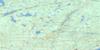
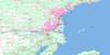
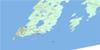
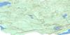
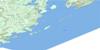
Kakabeka Falls Surrounding Area Topo Maps
 |
 |
 |
 |
 |
 |
 |
 |
 |
 |
 |
 |
 |
 |
© Department of Natural Resources Canada. All rights reserved.
Kakabeka Falls Gazetteer
The following places can be found on topographic map sheet 052A05 Kakabeka Falls:
Kakabeka Falls Topo Map: Falls
Kakabeka FallsKakabeka Falls Topo Map: Geographical areas
AdrianAldina
Conmee
Gillies
Horne
Laurie
Lybster
Marks
Neebing
O'Connor
Oliver
Paipoonge
Sackville
Scoble
Strange
Kakabeka Falls Topo Map: Lakes
Adair LakeAdrian Lake
Binabick Lake
Cedarlimb Lake
Echo Lake
Elgin Lake
Float Lake
Gold Lake
Length Lake
Marble Lake
Marks Lake
Oliver Lake
Peridotite Lake
Pete Lake
Pictured Lake
Rockstone Lake
Stephens Lake
Strange Lake
Thunder Lake
Turn Lake
Twin Birch Lake
Twist Lake
Kakabeka Falls Topo Map: Military areas
Champ de manoeuvre Kakabeka FallsKakabeka Falls Training Area
Kakabeka Falls Topo Map: Mountains
Badger MountainBeaver Mountain
Candy Mountain
Drews Mountain
Knob Hill
Little Pig
Rabbit Mountain
Silver Hill
Silver Mountain
Stanley Hill
The Palisades
Kakabeka Falls Topo Map: Other municipal/district area - miscellaneous
ConmeeGillies
O'Connor
Oliver
Oliver Paipoonge
Paipoonge
Kakabeka Falls Topo Map: Conservation areas
Cedar Creek Conservation ReserveDivide Ridge Provincial Nature Reserve
Kakabeka Falls Provincial Park
Kakabeka Falls Topo Map: Rivers
Beaver CreekBeaver Dam Creek
Brûlé Creek
Carson Creek
Cedar Creek
Corbett Creek
Kaministikwia River
Kaministiquia River
Matawin River
North River
O'Connor Creek
Oliver Creek
Otter Creek
Pitch Creek
Sackville Creek
Serpent Creek
Silver Creek
Silver Falls Creek
Sitch Creek
South Cedar Creek
Whitefish River
Whitewood Creek
Wiegand River
Kakabeka Falls Topo Map: Towns
NeebingKakabeka Falls Topo Map: Unincorporated areas
FlintHarstone
Hume
Hymers
Kakabeka Falls
Lee
Millar
Mokomon
Murillo
Nolalu
O'Connor
Sellars
Silver Mountain
Stanley
Veletta
© Department of Natural Resources Canada. All rights reserved.
