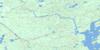
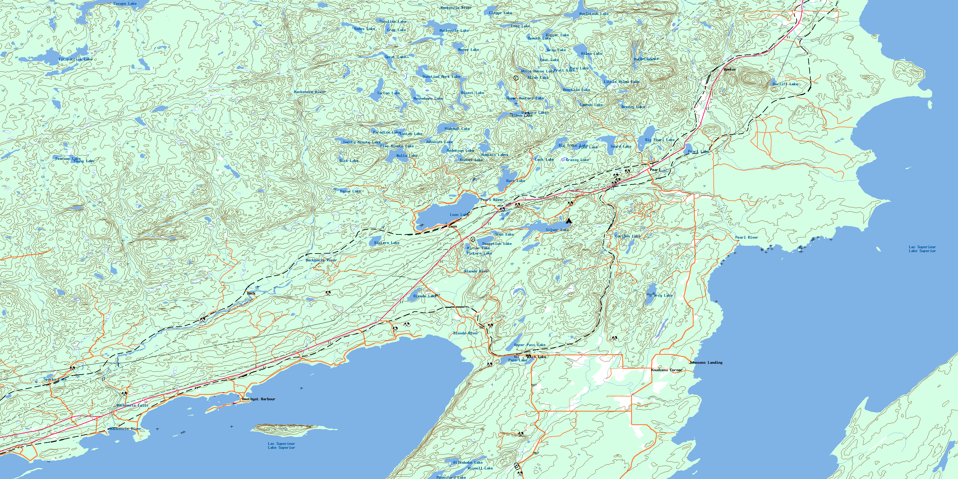
Loon Topo Map Online
Download Free Topo Map Sheet 052A10 at 1:50,000 scale
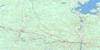
052A10 Loon Topo Map
To view this map, mouse over the map preview on the right.
You can also download this topo map for free:
052A10 Loon high-resolution topo map image.
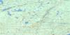
Maps for the Loon topo map sheet 052A10 at 1:50,000 scale are also available in these versions:
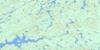
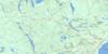
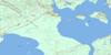
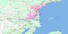
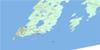
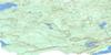
Loon Surrounding Area Topo Maps
 |
 |
 |
 |
 |
 |
 |
 |
 |
 |
 |
 |
 |
 |
© Department of Natural Resources Canada. All rights reserved.
Loon Gazetteer
The following places can be found on topographic map sheet 052A10 Loon:
Loon Topo Map: Bays
Amethyst BayAmethyst Harbour
Black Bay
Enterprise Bay
Hornick Cove
Louise Bay
Louse Cove
Mackenzie Bay
Mary Harbour
Moose Bay
Silver Harbour
Thunder Bay
Loon Topo Map: Beaches
Amethyst BeachBirch Beach
Crystal Beach
Mackenzie Beach
Moonlight Beach
Sunnyside Beach
Loon Topo Map: Capes
Black Bay PeninsulaConmee Point
Copper Point
Knobel Point
O'Connor Point
Perry Point
Vigars Point
Loon Topo Map: Falls
Mackenzie FallsLoon Topo Map: Geographical areas
DorionMacGregor
McTavish
Sibley
Loon Topo Map: Islands
Bacon IslandBent Island
Buck Islands
Caribou Island
Honeymoon Island
Kent Islands
Keshkabuon Island
Lambert Island
Lefebvre Island
Mary Island
McEachan Island
Nuttal Island
Nuttall Island
Palette Island
Sour Island
Squaw Island
Summer Island
Loon Topo Map: Lakes
Allan LakeAncliff Lake
Andersen Lake
Anderson Lake
Bare Lake
Bass Lake
Big Pearl Lake
Big Trout Lake
Bigger Lake
Bisect Lake
Bittern Lake
Blende Lake
Breezy Lake
Cannon Lake
Caribou Lake
Clegge Lake
Crag Lake
D'Arcy Lake
Deception Lake
Deer Lake
Demuth Lake
Dick Lake
Donaldson Lake
Dot Pond
Elbow Lake
Escape Lake
Fitzpatrick Lake
Five Minute Lake
Grassy Lake
Gray Lake
Hades Lake
Hilma Lake
Hunters Lakes
Iron Lake
Jeff Lake
Johnnies Lake
Knobel Lake
Lac Supérieur
Lake Superior
Little Hilma Lake
Long Lake
Loon Lake
Lost Lake
Luck Lake
MacIntosh Lake
Mackenzie Lake
Mason Lake
Milkshake Lake
Mirror Lake
Moose Lake
Moosehorn Lake
Mountain Lake
Mutt Lake
Nalla Lake
Paradise Lake
Pass Lake
Pearl Lake
Pearson Lake
Picture Lake
Pike Lake
Pounsford Lake
Pratt Lake
Question Mark Lake
Rainbow Lake
Roll Lake
Samick's Lake
Silver Lake
Single Lake
Sparks Lake
Sprat Lake
Sunset Lake
Sward Lake
Tartan Lake
Tastan Lake
Thruline Lake
Twenty Minute Lake
Twin Lakes
Upper Hunters Lake
Upper Pass Lake
White Horse Lake
Wideman Lake
Wiswell Lake
Young Lake
Loon Topo Map: Mountains
Plumpuddin HillLoon Topo Map: Other municipal/district area - miscellaneous
ShuniahLoon Topo Map: Conservation areas
Sleeping Giant Provincial ParkLoon Topo Map: Rivers
Anderson CreekBeck Creek
Bittern Creek
Blende River
Cold Creek
Coldwater Creek
D'Arcy Creek
Escape Creek
Hilma Creek
MacIntosh Creek
Mackenzie Creek
Mackenzie River
Pearl River
Portage Creek
Swan Creek
Tastan Creek
Walkinshaw Creek
Welch Creek
Loon Topo Map: Shoals
Chipman RockTemple Rock
Loon Topo Map: Unincorporated areas
Amethyst HarbourAncliff
Beck
Bowker
Johnsons Landing
Knudsens Corner
Loon
Mackenzie
Pass Lake
Pearl
Silver Harbour
© Department of Natural Resources Canada. All rights reserved.
