Thunder Cape Topo Map Online
Download Free Topo Map Sheet 052A07 at 1:50,000 scale
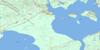
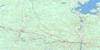
052A07 Thunder Cape Topo Map
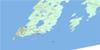
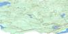
To view this map, mouse over the map preview on the right.
You can also download this topo map for free:
052A07 Thunder Cape high-resolution topo map image.
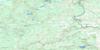
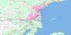
Maps for the Thunder Cape topo map sheet 052A07 at 1:50,000 scale are also available in these versions:
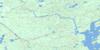
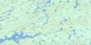
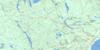
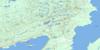
Thunder Cape Surrounding Area Topo Maps
 |
 |
 |
 |
 |
 |
 |
 |
 |
 |
 |
 |
 |
 |
© Department of Natural Resources Canada. All rights reserved.
Thunder Cape Gazetteer
The following places can be found on topographic map sheet 052A07 Thunder Cape:
Thunder Cape Topo Map: Bays
Black BayCamp Bay
Clavet Bay
Cowie Bay
Edward Harbour
Finlay Bay
Fork Bay
Hoorigan Bay
Horseshoe Cove
Middlebrun Bay
Miles Bay
Osler Bay
Perry Bay
Pringle Bay
Sawyer Bay
Schell Bay
Sibley Bay
Sibley Cove
Squaw Bay
Tee Harbour
Thunder Bay
Thunder Cape Topo Map: Capes
Black Bay PeninsulaChurch Point
Clavet Point
Cowie Point
Demers Point
Finlay Point
Foster Point
George Point
Hoorigan Point
Kidd Point
Magnet Point
Middlebrun Point
Point Porphyry
Sibley Peninsula
The Sea Lion
Thunder Cape
Thunder Cape Topo Map: Channels
Magnet ChannelMiddlebrun Channel
Montreal Channel
Thunder Cape Topo Map: Cliffs
Nana StepsThunder Cape Topo Map: Geographical areas
SibleyThunder Cape Topo Map: Islands
Anorthite IsletAriel Island
Arno Island
Burnt Island
Clark Island
Cranberry Island
Doris Island
Dreadnought Island
Edward Island
Emmerson Island
Gravel Island
Grey Island
Hardscrabble Island
Hare Island
Longtin Island
Magnet Island
Marvin Island
Mary Island
Middlebrun Island
Monk Island
Phlox Island
Porphyry Island
Pyritic Island
Sand Islands
Shangoina Island
Ship Island
Silver Islet
Silver Islet
Skinaway Island
Sybill Island
Trowbridge Island
Tunnel Island
Thunder Cape Topo Map: Lakes
Addison LakeBerryblue Lake
Calcite Lake
Crest Lake
Demers Lake
Ferns Lake
Gardner Lake
Grassy Lake
Helen Lake
Holt Lake
Joeboy Lake
Kay Lake
Lac Supérieur
Lake Superior
Legend Lake
Little Surprise Lake
Lizard Lake
Marie Louise Lake
Norma Lake
Norwegian Lake
Otter Lake
Pickerel Lake
Pounsford Lake
Ravine Lake
Red Sandstone Lake
Rita Lake
Roadside Lake
Sawbill Lake
Scum Lake
Shale Lake
Shuniah Lake
Sibleymount Lake
Sifting Lake
Surprise Lake
Talus Lake
Tarn Lake
Twinpine Lake
Verandah Lake
Wampum Lake
Thunder Cape Topo Map: Mountains
The Adams AppleThe Breast
The Chest
The Head
The Paps
The Sleeping Giant
The Triangle
Thunder Mountain
Thunder Cape Topo Map: Other municipal/district area - miscellaneous
ShuniahThunder Cape Topo Map: Conservation areas
Edward Island Provincial Nature ReservePorphyry Island Provincial Nature Reserve
Porphyry Island Provincial Park
Sleeping Giant Provincial Park
Sleeping Giant Wilderness Area
Thunder Cape Topo Map: Rivers
Gardner CreekJoe Creek
Joeboy Creek
Marie Louise Creek
Marie Louise Creek
Pickerel Creek
Sawbill Creek
Sibley Creek
Thunder Cape Topo Map: Shoals
Carney RockCopp Rock
Crosse Rocks
Hare Island Reef
Lennox Rock
Little Gibraltar Rock
Majestic Rock
Maloney Shoal
Porphyry Reef
Seagram Rock
Sloan Bank
Turriff Patch
Thunder Cape Topo Map: Unincorporated areas
Silver Islet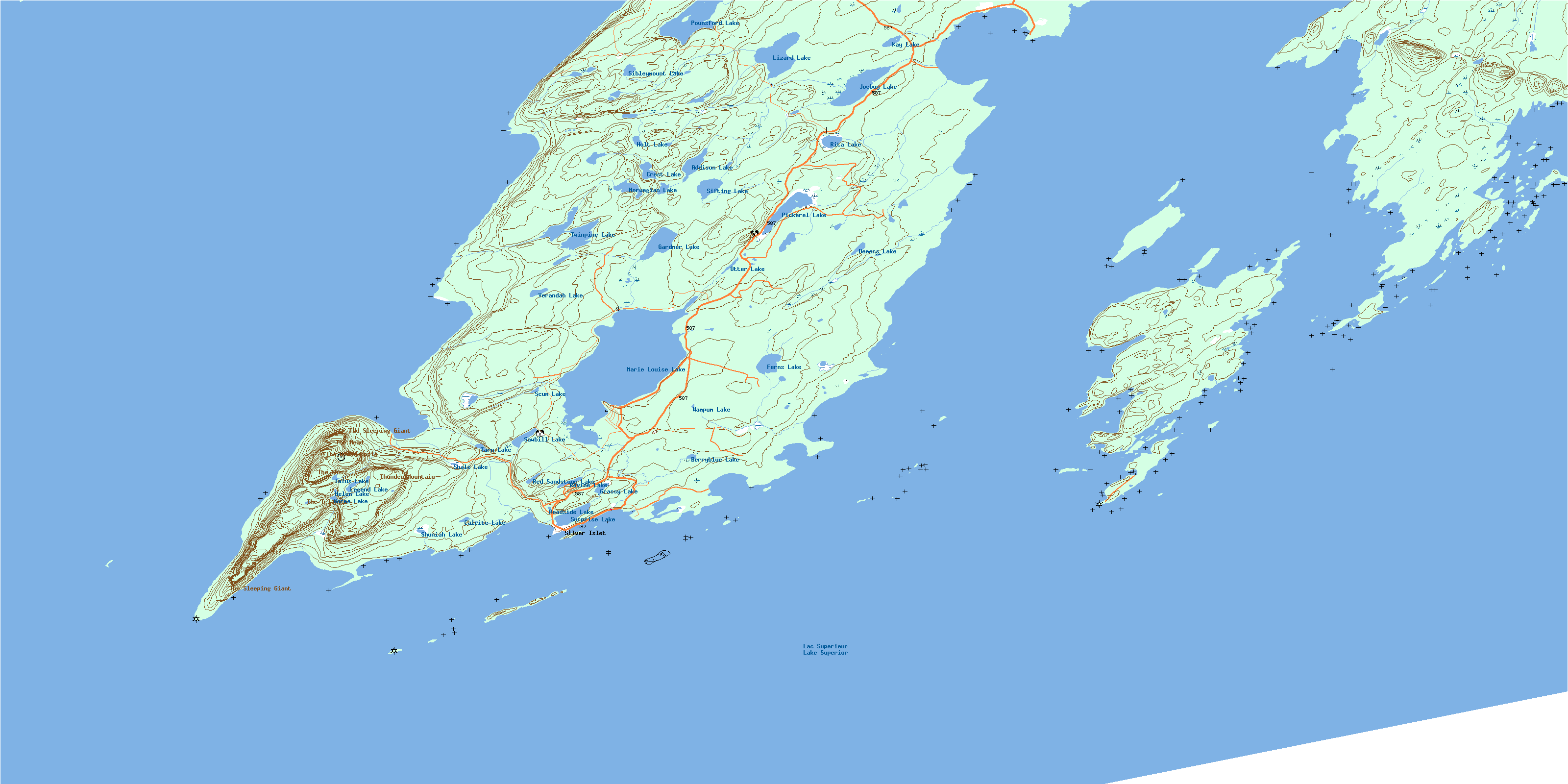
© Department of Natural Resources Canada. All rights reserved.
