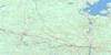
Red Rock Topo Map Online
Download Free Topo Map Sheet 052A16 at 1:50,000 scale
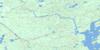
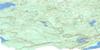
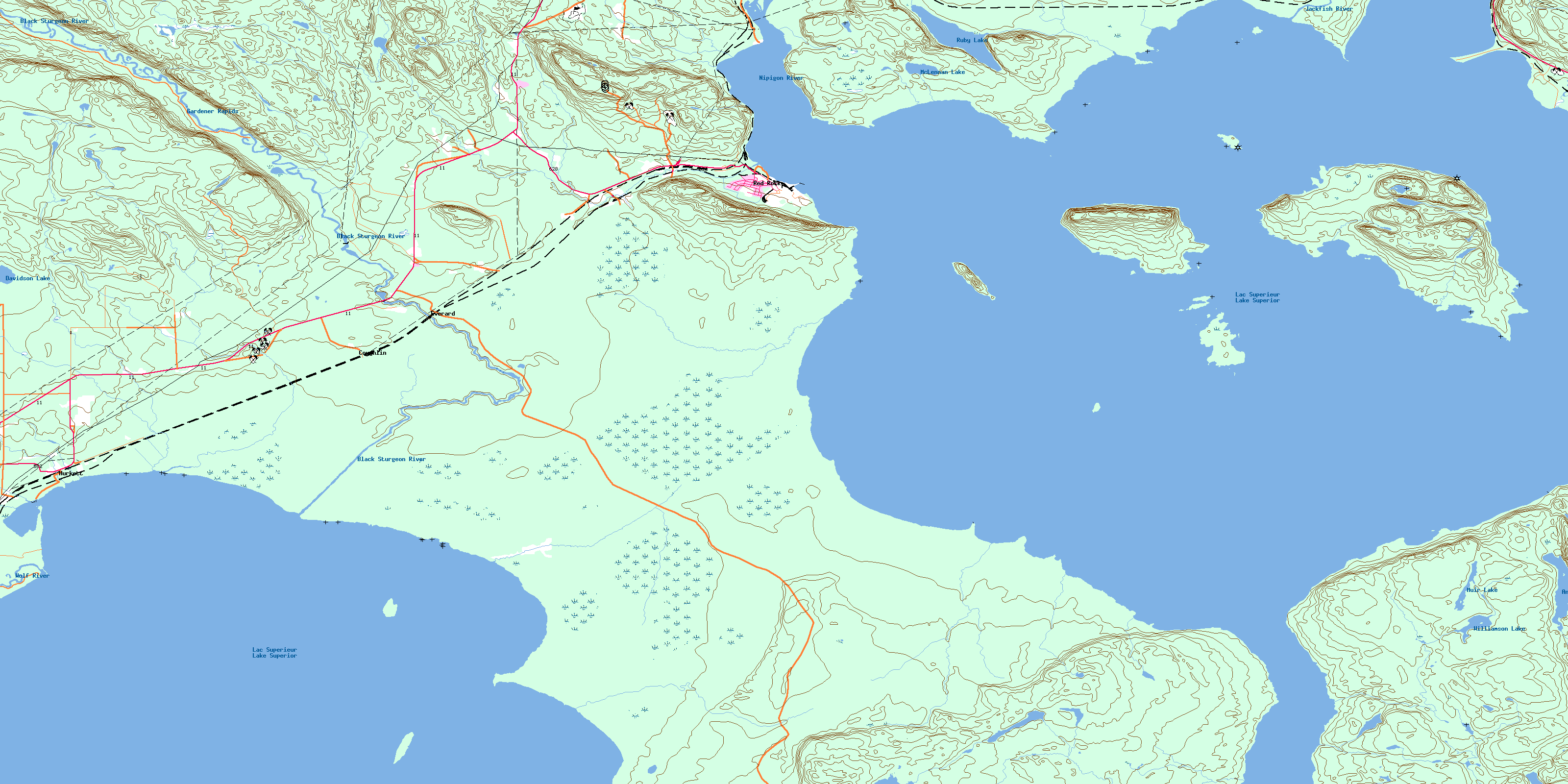
052A16 Red Rock Topo Map
To view this map, mouse over the map preview on the right.
You can also download this topo map for free:
052A16 Red Rock high-resolution topo map image.
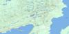
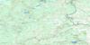
Maps for the Red Rock topo map sheet 052A16 at 1:50,000 scale are also available in these versions:
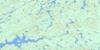
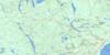
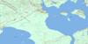
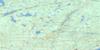
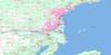
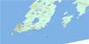
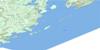
Red Rock Surrounding Area Topo Maps
 |
 |
 |
 |
 |
 |
 |
 |
 |
 |
 |
 |
 |
 |
© Department of Natural Resources Canada. All rights reserved.
Red Rock Gazetteer
The following places can be found on topographic map sheet 052A16 Red Rock:
Red Rock Topo Map: Bays
Black BayCaribou Cove
Cranberry Bay
Fire Hill Bay
Honeymoon Cove
Hurkett Cove
Kama Bay
Mazokamah Bay
Nipigon Bay
Stillwater Bay
Red Rock Topo Map: Capes
Black Bay PeninsulaCaribou Point
Cook Point
Cooper Point
Five Mile Point
Ham Point
Hughes Point
Kama Point
MacKinnon Point
MaryEllen Point
Perch Point
Pointe à la Gourganne
Scully Point
Red Rock Topo Map: Channels
Nipigon StraitRed Rock Topo Map: Geographical areas
9091
92
Corrigal
Dorion
Hele
Lett
Lyon
Nipigon
Patience
Stirling
Red Rock Topo Map: Indian Reserves
Lake Helen Indian Reserve 53ARéserve indienne Lake Helen 53A
Red Rock Topo Map: Islands
Beckie IslandBurnt Island
Caribou Island
Condon Island
Crichton Island
Delaney Island
Frog Island
Ile la Grange
Jossie Island
La Grange Island
Outan Island
Scimming Island
Speckle Islands
St. Ignace Island
Vert Island
Red Rock Topo Map: Lakes
Antler LakeDavidson Lake
Lac Supérieur
Lake Superior
McLennan Lake
Muir Lake
Ruby Lake
Williamson Lake
Red Rock Topo Map: Mountains
Doghead MountainKama Hills
Red Rock Hill
Red Rock Topo Map: Other municipal/district area - miscellaneous
NipigonRed Rock
Red Rock Topo Map: Conservation areas
Black Bay Bog Conservation ReserveBlack Sturgeon River Provincial Park
Kama Cliffs Conservation Reserve
Ruby Lake Provincial Park
Red Rock Topo Map: Rapids
Gardener RapidsRed Rock Topo Map: Rivers
Antler CreekBig Squaw Creek
Big Trout Creek
Black Sturgeon River
Driftstone Creek
East Little Ruby Creek
Fire Hill Creek
Firehill Creek
Jackfish River
Jackpine River
Little Squaw Creek
Little Trout Creek
Morrow Creek
Moseau Creek
Nipigon River
North Trout Creek
Rivière Nipigon
Ruby Creek
South Trout Creek
Stillwater Creek
West Little Ruby Creek
Wolf River
Red Rock Topo Map: Shoals
Clay ShoalHolden Shoal
Old John Rock
Piledriver Shoal
Red Rock Topo Map: Unincorporated areas
CoughlinEverard
Hurkett
Ivan
Kama
Red Rock
Robford
Sprucewood
© Department of Natural Resources Canada. All rights reserved.
