Poohbah Lake Topo Map Online
Download Free Topo Map Sheet 052B05 at 1:50,000 scale
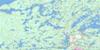
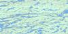
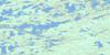
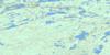
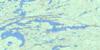
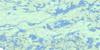
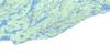
052B05 Poohbah Lake Topo Map
To view this map, mouse over the map preview on the right.
You can also download this topo map for free:
052B05 Poohbah Lake high-resolution topo map image.
Maps for the Poohbah Lake topo map sheet 052B05 at 1:50,000 scale are also available in these versions:
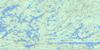
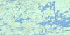
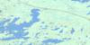
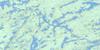
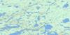
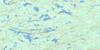
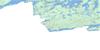
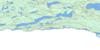
Poohbah Lake Surrounding Area Topo Maps
 |
 |
 |
 |
 |
 |
 |
 |
 |
 |
 |
 |
 |
 |
 |
 |
© Department of Natural Resources Canada. All rights reserved.
Poohbah Lake Gazetteer
The following places can be found on topographic map sheet 052B05 Poohbah Lake:
Poohbah Lake Topo Map: Bays
Heron BayMartin Bay
Rice Bay
Wegwagum Bay
Poohbah Lake Topo Map: Channels
Sturgeon NarrowsPoohbah Lake Topo Map: Falls
Twin FallsPoohbah Lake Topo Map: Indian Reserves
Neguaguon Lake Indian Reserve 25DRéserve indienne Neguaguon Lake 25D
Poohbah Lake Topo Map: Islands
Bell IslandBirch Island
Drift Island
Elk Lake
Hilly Island
Hunter Island
Irving Island
Lou Island
May Island
Moosehide Island
Scripture Island
Poohbah Lake Topo Map: Lakes
Allan LakeAndrews Lake
Argo Lake
Badwater Lake
Ballard Lake
Bass Lake
Bee Lake
Bentpine Lake
Berniece Lake
Bottle Lake
Boulder Lake
Brent Lake
Brewer Lake
Burntside Lake
Burt Lake
Camel Lake
Clair Lake
Cone Lake
Conmee Lake
Creasy Lake
Dahlin Lake
Darkwater Lake
Darky Lake
Delahey Lake
Eyelet Lake
Fair Lake
Fred Lake
Gamblemater Lake
Gratton Lake
Hoare Lake
Hoffman Lake
Hurn Lake
Iron Lake
Jack Lake
Jew Lake
Joyce Lake
Lac la Croix
Little Pine Lake
Little Roland Lake
March Lake
Marj Lake
McAree Lake
McIntyre Lake
Middle Roland Lake
Milt Lake
Minn Lake
Moxness Lake
Nan Lake
Omeme Lake
Orion Lake
Paulene Lake
Pelee Lake
Point Lake
Pond Lake
Poohbah Lake
Pooh-bah Lake
Pulling Lake
Red Pine Lake
Roland Lake
Rouge Lake
Roulston Lake
Russell Lake
Scarlet Lake
Shaw Lake
Snow Lake
Sturgeon Lake
Suzanette Lake
Tanner Lake
Ted Lake
That Lake
Trail Lake
Tubman Lake
Veron Lake
Viger Lake
Walsh Lake
Wicksteed Lake
Wildgoose Lake
William Lake
Wink Lake
Your Lake
Poohbah Lake Topo Map: Mountains
Warrior HillPoohbah Lake Topo Map: Conservation areas
Quetico Provincial ParkPoohbah Lake Topo Map: Rapids
Bottle RapidsBrewer Rapids
Flat Rapids
McAree Rapids
Tanners Rapids
Poohbah Lake Topo Map: Rivers
Allan CreekAndrews Creek
Bentpine Creek
Bottle River
Cutty Creek
Darkwater River
Jean Creek
Maligne River
Namakan River
Poohbah Creek
Siobhan River
Trail Creek
Tubman Creek
Wicksteed Creek
Wildgoose Creek
Poohbah Lake Topo Map: Road features
Black Robe PortageBottle Portage
Island Portage
Maligne Portage
Poohbah Lake Topo Map: Unincorporated areas
Lac la Croix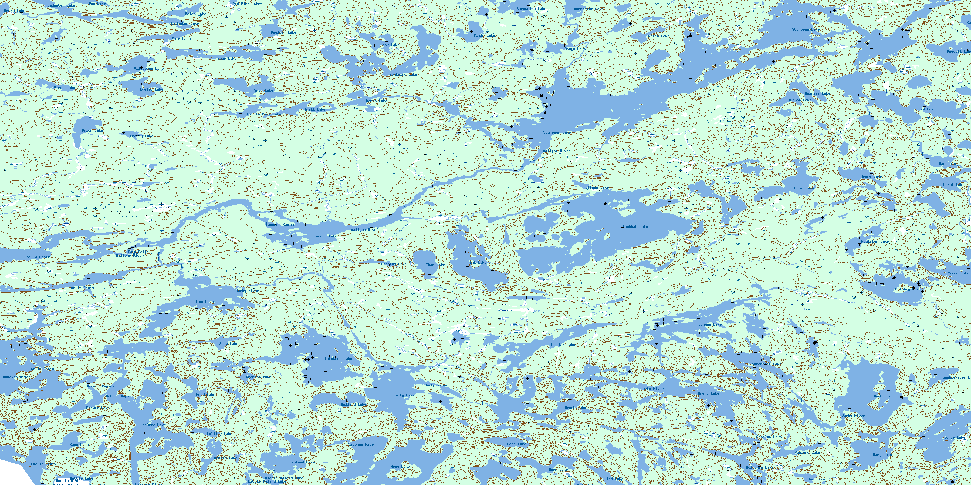
© Department of Natural Resources Canada. All rights reserved.
052B Related Maps:
052B Quetico052B01 Arrow Lake
052B02 Saganaga Lake
052B03 Knife Lake
052B04 Basswood Lake
052B05 Poohbah Lake
052B06 Kawnipi Lake
052B07 Mowe Lake
052B08 Marks Lake
052B09 Shebandowan
052B10 Burchell Lake
052B11 Pickerel Lake
052B12 Quetico Lake
052B13 Atikokan
052B14 Sapawe
052B15 Bedivere Lake
052B16 Savanne
