Mowe Lake Topo Map Online
Download Free Topo Map Sheet 052B07 at 1:50,000 scale
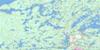
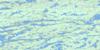
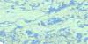
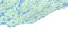
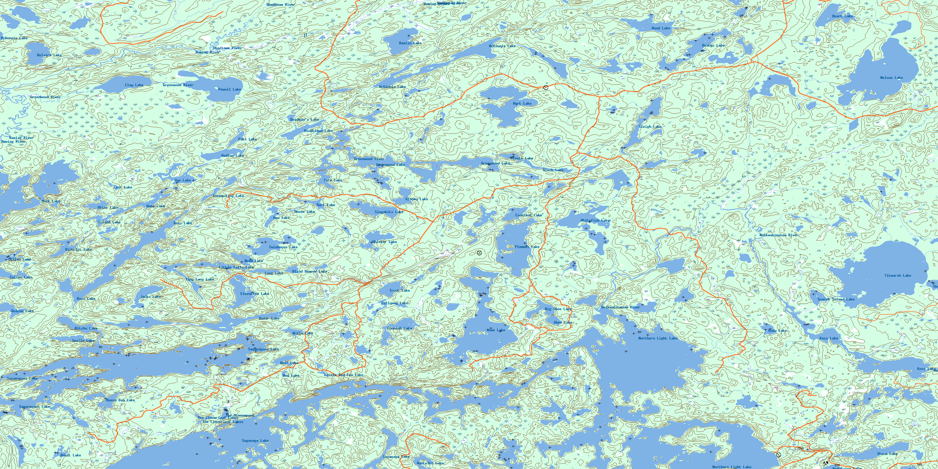
052B07 Mowe Lake Topo Map
To view this map, mouse over the map preview on the right.
You can also download this topo map for free:
052B07 Mowe Lake high-resolution topo map image.
Maps for the Mowe Lake topo map sheet 052B07 at 1:50,000 scale are also available in these versions:
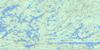
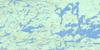
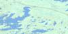
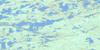
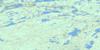
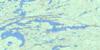
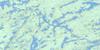
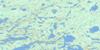
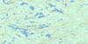
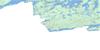
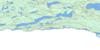
Mowe Lake Surrounding Area Topo Maps
 |
 |
 |
 |
 |
 |
 |
 |
 |
 |
 |
 |
 |
 |
 |
 |
© Department of Natural Resources Canada. All rights reserved.
Mowe Lake Gazetteer
The following places can be found on topographic map sheet 052B07 Mowe Lake:
Mowe Lake Topo Map: Bays
Curran BayMoose Bay
Moose Bay
Northeast Arm
Powell's Bay
Rat Bay
Savage Bay
Southeast Bay
Trafalgar Bay
Mowe Lake Topo Map: Capes
Boundary PointSentinel Point
Mowe Lake Topo Map: Channels
North ChannelTrafalgar Channel
Mowe Lake Topo Map: Geographical areas
MossMowe Lake Topo Map: Islands
Eagles Nest IslandHunter Island
Paradise Island
Red Pine Island
Mowe Lake Topo Map: Lakes
Admit LakeAmit Lake
Belaire Lake
Bemar Lake
Big Ghee Lake
Bitchu Lake
Blind Beaver Lake
Buda Lake
Cannibal Lake
Clay Lake
Connecting Lake
Cullen Lake
Cunniah Lake
Dart Lake
Deacon Lake
Deadman's Lake
Deatys Lake
District Lake
Elevation Lake
Ghee Lake
Gloomy Lake
Greenwood Lake
Hamlin Lake
Hashie Lake
Heart Lake
Hew Lake
Home Lake
Hood Lake
Island Lake
Jacks Lake
Koss Lake
Little Falls Lake
Little Red Fox Lake
Long Lake
Lost Lake
Mack Lake
Madalaine Lake
McGinnis Lake
McKenzie Lake
Minute Lake
Moose Bay Lake
Moose Lake
Mowe Lake
Mud Lake
Myrt Lake
Need Lake
Nelson Lake
Northern Light Lake
Nulla Lake
Otter Lake
Pats Lake
Plummes Lake
Pollywog Lake
Powell Lake
Redfox Lake
Ross Lake
Saganaga Lake
Saganagons Lake
Scorch Island Lake
Shaco Lake
Singabits Lake
Sleigh Lake
Slush Lake
Smally Lake
Sunbow Lake
Term Lake
The Cloverleaf Lakes
The Minnowpond
Tiny Long Lake
Titmarsh Lake
Trout Lake
Twinhouse Lake
Wantelto Lake
Whisker Lake
Whitefish Lake
Windblown Lake
Wolf Lake
Wye Lake
Mowe Lake Topo Map: Conservation areas
Arrowhead Peninsula Provincial Nature ReserveGreenwood Lake Conservation Reserve
La Verendrye Provincial Park
LaVerendrye Provincial Park
Quetico Provincial Park
Mowe Lake Topo Map: Rivers
Bemar CreekCunniah Creek
Deatys Creek
Greenwood River
Mack Creek
Nelson Creek
Obadinaw River
Plummes Creek
Ross Creek
Sleigh Creek
Titmarsh Creek
Wawiag River
Weikwabinonaw River
© Department of Natural Resources Canada. All rights reserved.
052B Related Maps:
052B Quetico052B01 Arrow Lake
052B02 Saganaga Lake
052B03 Knife Lake
052B04 Basswood Lake
052B05 Poohbah Lake
052B06 Kawnipi Lake
052B07 Mowe Lake
052B08 Marks Lake
052B09 Shebandowan
052B10 Burchell Lake
052B11 Pickerel Lake
052B12 Quetico Lake
052B13 Atikokan
052B14 Sapawe
052B15 Bedivere Lake
052B16 Savanne
