Caviar Lake Topo Map Online
Download Free Topo Map Sheet 052F05 at 1:50,000 scale
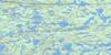
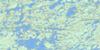
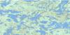
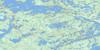
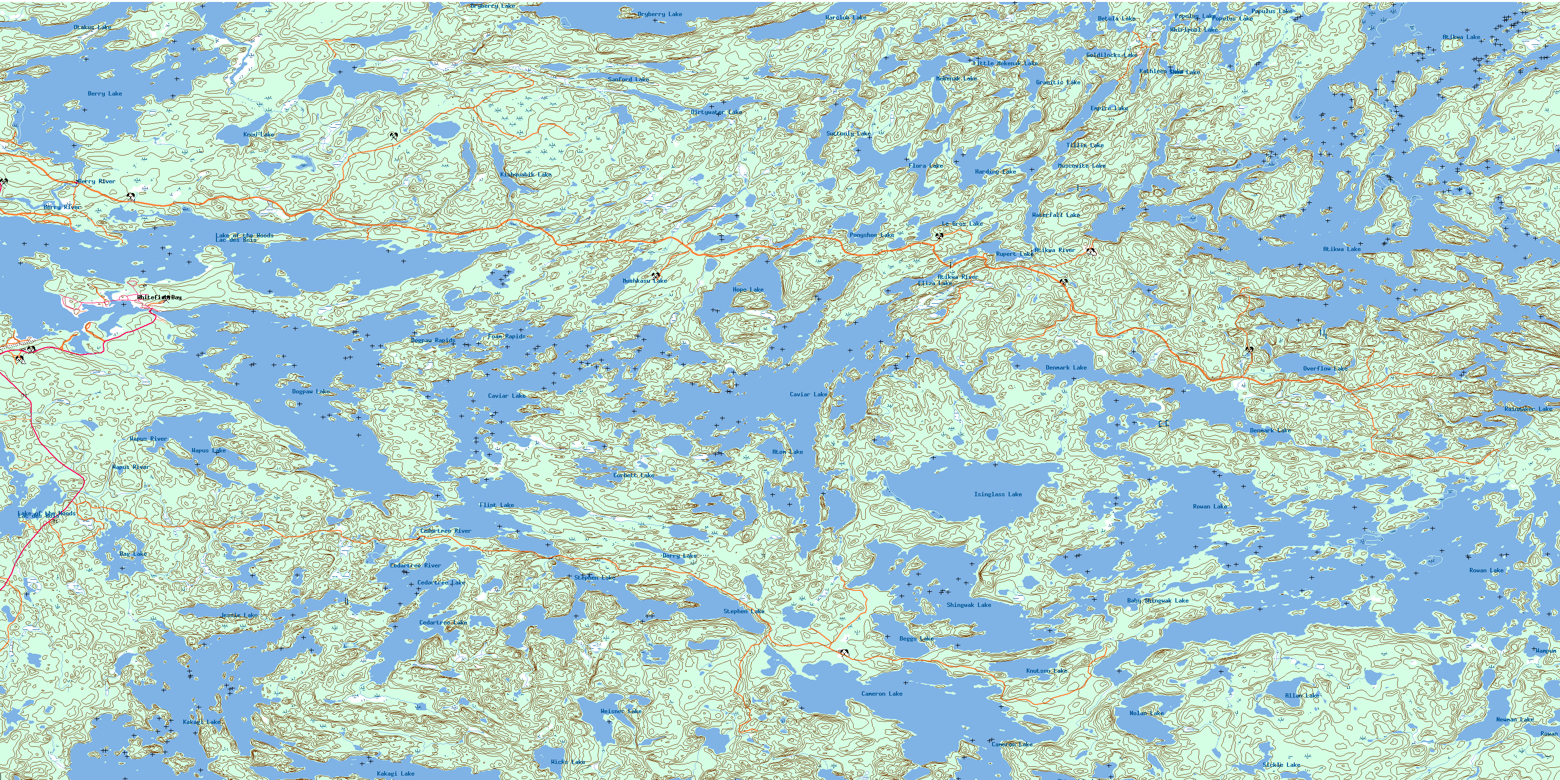
052F05 Caviar Lake Topo Map
To view this map, mouse over the map preview on the right.
You can also download this topo map for free:
052F05 Caviar Lake high-resolution topo map image.
Maps for the Caviar Lake topo map sheet 052F05 at 1:50,000 scale are also available in these versions:
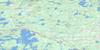
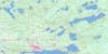
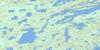
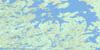
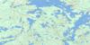
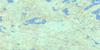
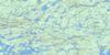
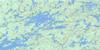
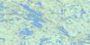
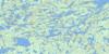
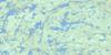
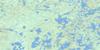
Caviar Lake Surrounding Area Topo Maps
 |
 |
 |
 |
 |
 |
 |
 |
 |
 |
 |
 |
 |
 |
 |
 |
© Department of Natural Resources Canada. All rights reserved.
Caviar Lake Gazetteer
The following places can be found on topographic map sheet 052F05 Caviar Lake:
Caviar Lake Topo Map: Bays
Bog BayBrooks Bay
Emm Bay
Foreleg Bay
Grapnel Bay
Head Bay
Horn Bay
Lobstick Bay
Overflow Bay
Peninsula Bay
Regina Bay
Sammons Bay
Scott Bay
Snake Bay
Sullivan Bay
William Bay
Young Bay
Caviar Lake Topo Map: Capes
Ells PeninsulaCaviar Lake Topo Map: Geographical areas
DevonshirePhillips
Tweedsmuir
Willingdon
Caviar Lake Topo Map: Indian Reserves
Réserve indienne Whitefish Bay 32ARéserve indienne Whitefish Bay 33A
Réserve indienne Whitefish Bay 34A
Whitefish Bay 32A
Whitefish Bay 33A
Whitefish Bay 34A
Whitefish Bay Indian Reserve 32A
Whitefish Bay Indian Reserve 33A
Whitefish Bay Indian Reserve 34A
Caviar Lake Topo Map: Islands
Martin IslandMcKay Island
Shoulder Island
Caviar Lake Topo Map: Lakes
Allan LakeAtikwa Lake
Atom Lake
Baby Shingwak Lake
Bag Lake
Beggs Lake
Berry Lake
Betula Lake
Cameron Lake
Caviar Lake
Cedartree Lake
Corbett Lake
Denmark Lake
Derry Lake
Dirtywater Lake
Dogpaw Lake
Dryberry Lake
Eliza Lake
Empire Lake
Flint Lake
Flora Lake
Goldilocks Lake
Granitic Lake
Harding Lake
Hope Lake
Isinglass Lake
Jessie Lake
Kakagi Lake
Kathleen Lake
Kenu Lake
Kishquabik Lake
Knutson Lake
Lac des Bois
Lake of the Woods
Le Gros Lake
Little Mekenak Lake
Mekenak Lake
Mongus Lake
Muscovite Lake
Mushkasu Lake
Newman Lake
Nolan Lake
Otakus Lake
Otterskin Lake
Overflow Lake
Ponyshoe Lake
Populus Lake
Rainmaker Lake
Rowan Lake
Rupert Lake
Sanford Lake
Shaw Lake
Shingwak Lake
Sickle Lake
Stephen Lake
Suttonly Lake
Tillie Lake
Wampum Lake
Wapus Lake
Warclub Lake
Waterfall Lake
Weisner Lake
Whirlpool Lake
Whitefish Lake
Wicks Lake
Caviar Lake Topo Map: Other municipal/district area - miscellaneous
McGeorge & WillingdonSioux Narrows
Sioux Narrows Nestor Falls
Sioux Narrows-Nestor Falls
Caviar Lake Topo Map: Rapids
Dogpaw RapidsFoam Rapids
Caviar Lake Topo Map: Rivers
Atikwa RiverBerry Creek
Berry River
Brooks Creek
Cameron Creek
Cedartree River
Dirtywater Creek
Hope Creek
Mekenak Creek
Wapus River
Caviar Lake Topo Map: Unincorporated areas
PawitikWhitefish Bay
© Department of Natural Resources Canada. All rights reserved.
052F Related Maps:
052F Dryden052F01 Pekagoning Lake
052F02 Entwine Lake
052F03 Harris Lake
052F04 Kakagi Lake
052F05 Caviar Lake
052F06 Lawrence Lake
052F07 Upper Manitou Lake
052F08 Stormy Lake
052F09 Dyment
052F10 Wabigoon
052F11 Osbourne Bay
052F12 Dryberry Lake
052F13 Feist Lake
052F14 Vermilion Bay
052F15 Dryden
052F16 Big Sandy Lake
