Dryberry Lake Topo Map Online
Download Free Topo Map Sheet 052F12 at 1:50,000 scale
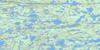
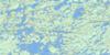
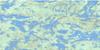
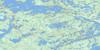
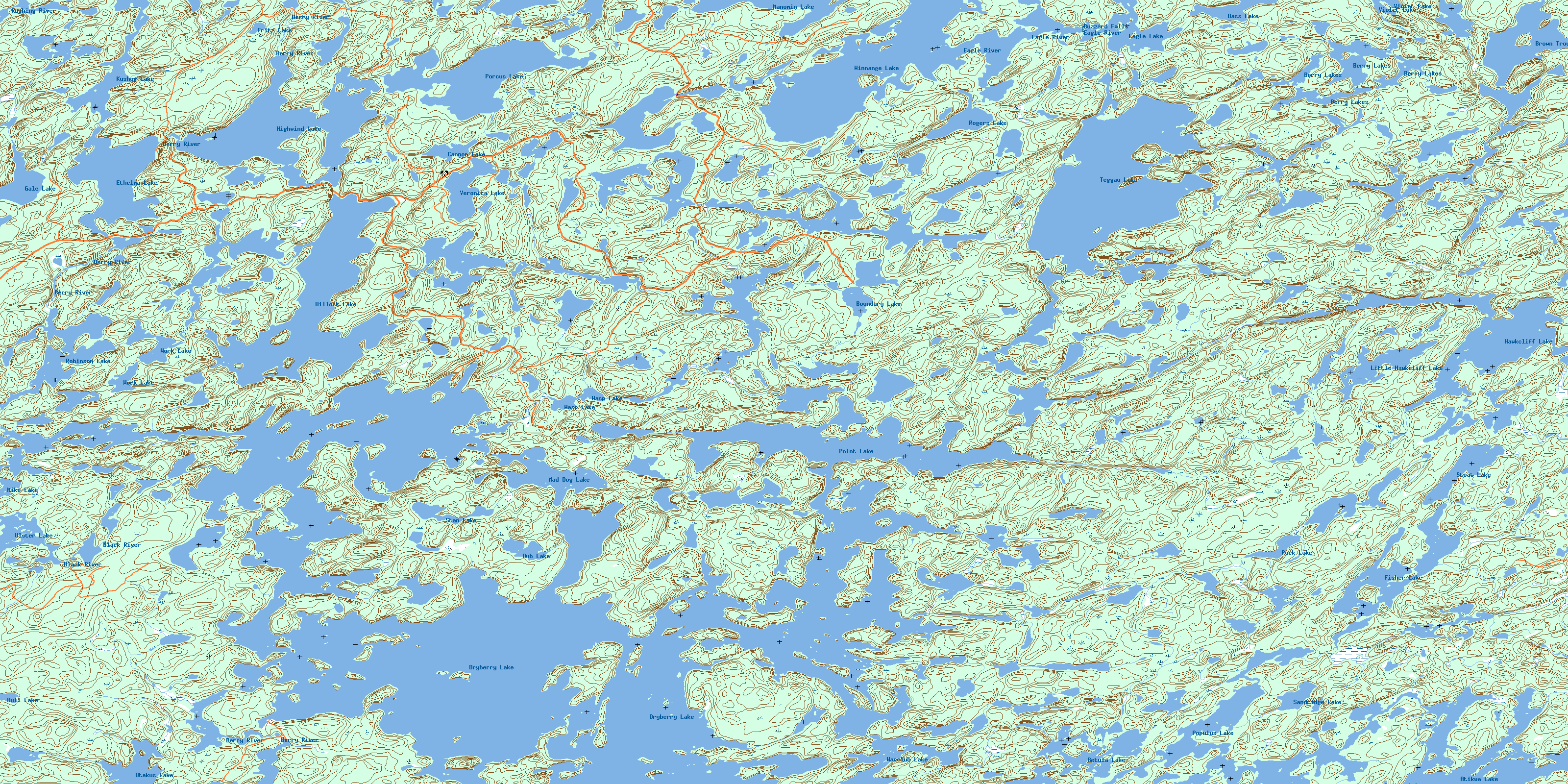
052F12 Dryberry Lake Topo Map
To view this map, mouse over the map preview on the right.
You can also download this topo map for free:
052F12 Dryberry Lake high-resolution topo map image.
Maps for the Dryberry Lake topo map sheet 052F12 at 1:50,000 scale are also available in these versions:
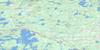
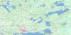
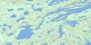
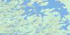
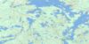
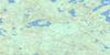
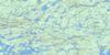
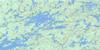
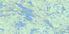
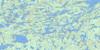
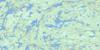
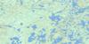
Dryberry Lake Surrounding Area Topo Maps
 |
 |
 |
 |
 |
 |
 |
 |
 |
 |
 |
 |
 |
 |
 |
 |
© Department of Natural Resources Canada. All rights reserved.
Dryberry Lake Gazetteer
The following places can be found on topographic map sheet 052F12 Dryberry Lake:
Dryberry Lake Topo Map: Bays
Northwest BayPoint Bay
Tail Bay
West Arm
Dryberry Lake Topo Map: Falls
Buzzard FallsDryberry Lake Topo Map: Geographical areas
DesmondDevonshire
McMeekin
Work
Dryberry Lake Topo Map: Islands
Pine IslandDryberry Lake Topo Map: Lakes
Atikwa LakeBass Lake
Berry Lake
Berry Lakes
Betula Lake
Boundary Lake
Brown Trout Lake
Bull Lake
Cannon Lake
Crusoe Lake
Dryberry Lake
Dub Lake
Eagle Lake
Ethelma Lake
Fisher Lake
Fritz Lake
Gale Lake
Hawk Lake
Hawkcliff Lake
Highwind Lake
Hillock Lake
Kushog Lake
Little Hawkcliff Lake
Mad Dog Lake
Manomin Lake
Mike Lake
Otakus Lake
Pack Lake
Point Lake
Populus Lake
Porcus Lake
Robinson Lake
Rogers Lake
Sandridge Lake
Stan Lake
Stoat Lake
Teggau Lake
Ulster Lake
Veronica Lake
Violet Lake
Warclub Lake
Wasp Lake
Winnange Lake
Work Lake
Dryberry Lake Topo Map: Other municipal/district area - miscellaneous
McGeorge & WillingdonSioux Narrows
Sioux Narrows Nestor Falls
Dryberry Lake Topo Map: Conservation areas
Dryberry Lake Conservation ReserveEagle-Dogtooth Provincial Park
Winnange Lake Provincial Park
Dryberry Lake Topo Map: Rivers
Atikwa RiverBerry Creek
Berry River
Black River
Eagle River
Feist Creek
Gale Creek
Hillock Creek
Kushog Creek
Pack Creek
Piskegomang Brook
Rushing River
Teggau Creek
Warclub Creek
© Department of Natural Resources Canada. All rights reserved.
052F Related Maps:
052F Dryden052F01 Pekagoning Lake
052F02 Entwine Lake
052F03 Harris Lake
052F04 Kakagi Lake
052F05 Caviar Lake
052F06 Lawrence Lake
052F07 Upper Manitou Lake
052F08 Stormy Lake
052F09 Dyment
052F10 Wabigoon
052F11 Osbourne Bay
052F12 Dryberry Lake
052F13 Feist Lake
052F14 Vermilion Bay
052F15 Dryden
052F16 Big Sandy Lake
