Dyment Topo Map Online
Download Free Topo Map Sheet 052F09 at 1:50,000 scale
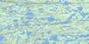
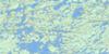
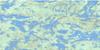
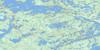
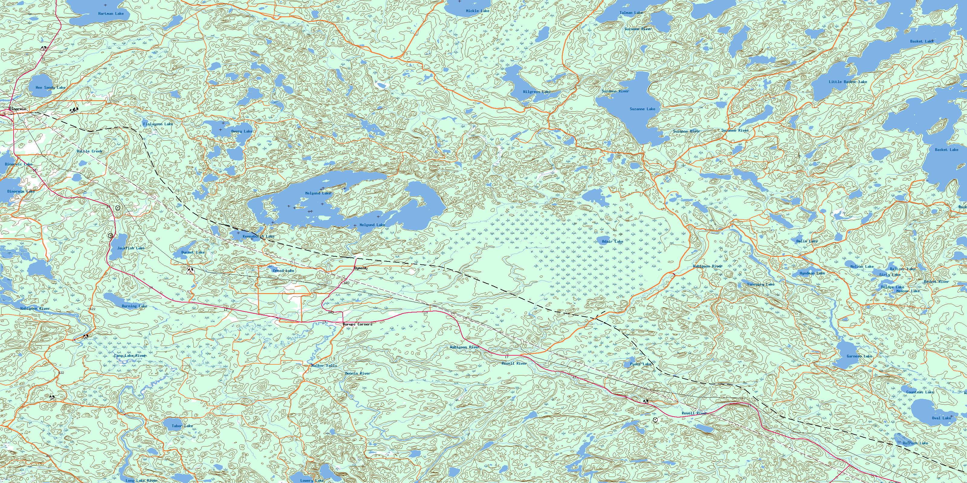
052F09 Dyment Topo Map
To view this map, mouse over the map preview on the right.
You can also download this topo map for free:
052F09 Dyment high-resolution topo map image.
Maps for the Dyment topo map sheet 052F09 at 1:50,000 scale are also available in these versions:
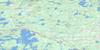
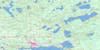
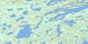
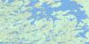
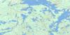
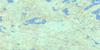
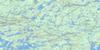
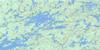
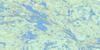
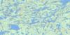
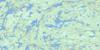
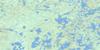
Dyment Surrounding Area Topo Maps
 |
 |
 |
 |
 |
 |
 |
 |
 |
 |
 |
 |
 |
 |
 |
 |
© Department of Natural Resources Canada. All rights reserved.
Dyment Gazetteer
The following places can be found on topographic map sheet 052F09 Dyment:
Dyment Topo Map: Bays
Whitefish BayDyment Topo Map: Falls
Walker FallsDyment Topo Map: Geographical areas
AveryHartman
Hodgson
Hyndman
Ilsley
MacFie
Melgund
Revell
Satterly
Southworth
Dyment Topo Map: Indian Reserves
Réserve indienne Wabigoon Lake 27Wabigoon Lake Indian Reserve 27
Dyment Topo Map: Lakes
Adair LakeAmlin Lake
Avery Lake
Baltzer Lake
Basket Lake
Battle Creek
Bulrush Lake
Burnet Lake
Burning Lake
Countess Lake
Creed Lake
Dinorwic Lake
Doidge Lake
Finlayson Lake
Garneau Lake
Girty Lake
Hartman Lake
Hyndman Lake
Jackfish Lake
Kagiwiosa Lake
Kawashegamuk Lake
Kennabutch Lake
Little Basket Lake
Long Lake
Lowery Lake
Measor Lake
Melgund Lake
Mennin Lake
Mickle Lake
Molzan Lake
Olli Lake
Oval Lake
Pyatt Lake
Suzanne Lake
Tabor Lake
Talman Lake
Vanevery Lake
Wabigoon Lake
Wee Sandy Lake
Wilgress Lake
Dyment Topo Map: Conservation areas
Adair Lake Conservation ReserveEast Wabigoon Conservation Reserve
Melgund Lake Conservation Reserve
Pyatt Lake Conservation Reserve
Dyment Topo Map: Rivers
Basket RiverHebden Brook
Hughes Brook
Kawashegamuk River
Long Lake River
McHugh Creek
McKenzie Creek
Melgund Creek
Mennin River
Nugget Creek
Revell River
Suzanne River
Wabigoon River
Dyment Topo Map: Unincorporated areas
Borups CornersDinorwic
Dyment
Taché
© Department of Natural Resources Canada. All rights reserved.
052F Related Maps:
052F Dryden052F01 Pekagoning Lake
052F02 Entwine Lake
052F03 Harris Lake
052F04 Kakagi Lake
052F05 Caviar Lake
052F06 Lawrence Lake
052F07 Upper Manitou Lake
052F08 Stormy Lake
052F09 Dyment
052F10 Wabigoon
052F11 Osbourne Bay
052F12 Dryberry Lake
052F13 Feist Lake
052F14 Vermilion Bay
052F15 Dryden
052F16 Big Sandy Lake
