Dryden Topo Map Online
Download Free Topo Map Sheet 052F15 at 1:50,000 scale
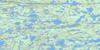
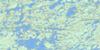
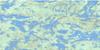
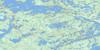
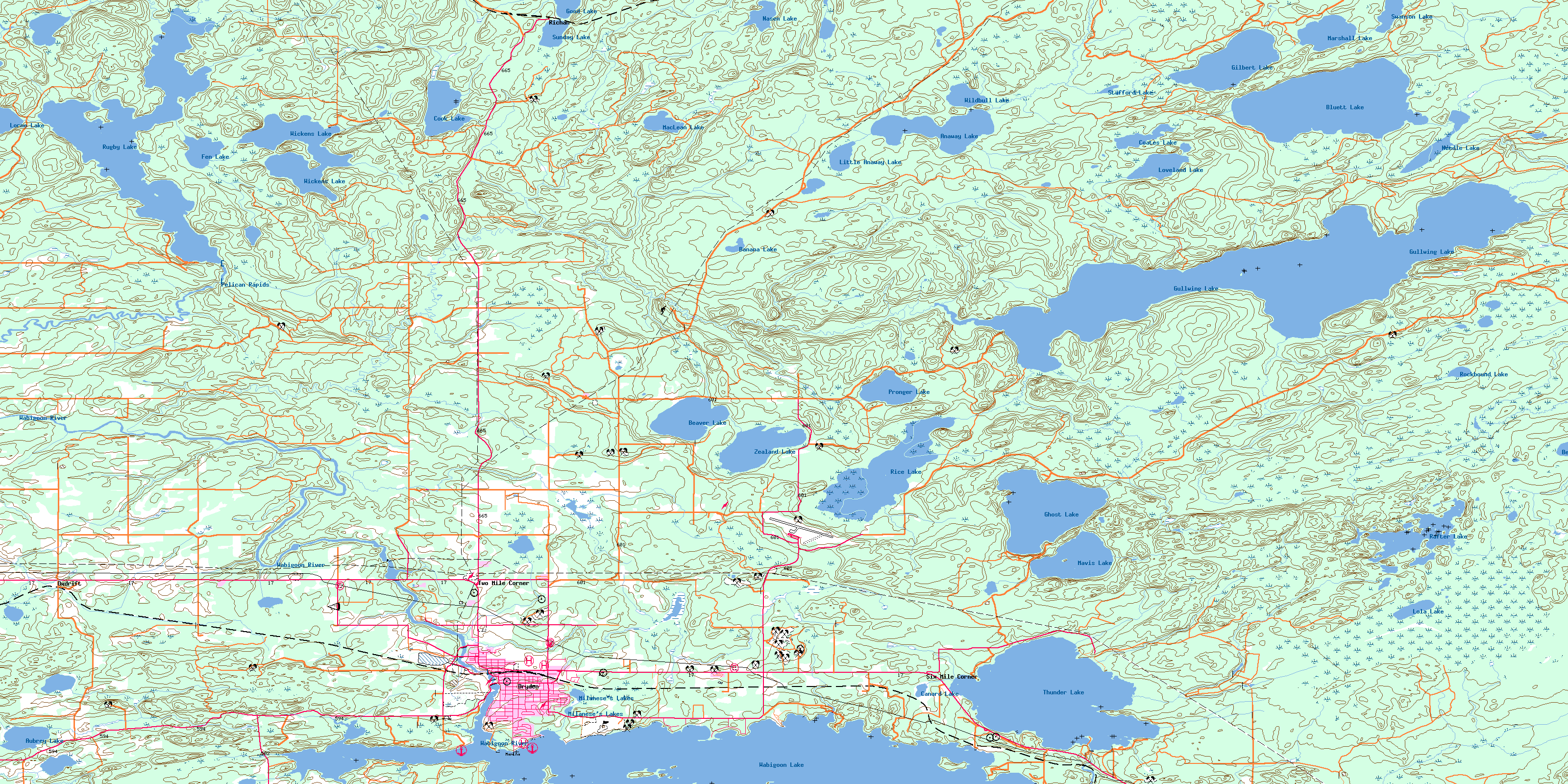
052F15 Dryden Topo Map
To view this map, mouse over the map preview on the right.
You can also download this topo map for free:
052F15 Dryden high-resolution topo map image.
Maps for the Dryden topo map sheet 052F15 at 1:50,000 scale are also available in these versions:
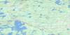
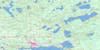
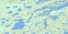
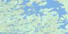
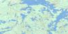
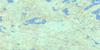
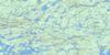
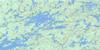
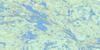
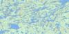
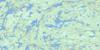
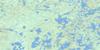
Dryden Surrounding Area Topo Maps
 |
 |
 |
 |
 |
 |
 |
 |
 |
 |
 |
 |
 |
 |
 |
 |
© Department of Natural Resources Canada. All rights reserved.
Dryden Gazetteer
The following places can be found on topographic map sheet 052F15 Dryden:
Dryden Topo Map: Bays
Bonny BayCoates Bay
Elm Bay
Hoffstrom's Bay
Lindquist Bay
Lindstrom Bay
Mud Bay
Rutter's Bay
West Arm
Western Arm
Dryden Topo Map: Beaches
Johnson's BeachSandy Beach
Dryden Topo Map: Capes
Clay BanksClay Banks
Cook's Point
Gullwing Point
Indian Point
McKay's Point
Mica Point
Parker's Point
Pronger's Point
Skillen's Point
Wood's Point
Dryden Topo Map: City
DrydenDryden Topo Map: Falls
Dryden FallsWainwright Falls
Dryden Topo Map: Geographical areas
AubreyBreithaupt
Britton
Brownridge
Daniel
Drope
Eton
Hartman
Ladysmith
Laval
McIlraith
Rowell
Rugby
Stokes
Van Horne
Wainwright
Webb
Zealand
Dryden Topo Map: Islands
Anderson IslandBridgewater's Island
Ledyard Island
Partridge Island
Picnic Island
Seagull Island
Stewart Island
Dryden Topo Map: Lakes
Anaway LakeAubrey Lake
Banana Lake
Beartrack Lake
Beaver Lake
Bluett Lake
Broadtail Lake
Canard Lake
Coates Lake
Cook Lake
Fen Lake
Ghost Lake
Gilbert Lake
Good Lake
Gullwing Lake
Kaiashkomin Lake
Little Anaway Lake
Lola Lake
Lorne Lake
Loveland Lake
MacLean Lake
Marshall Lake
Mavis Lake
Milanese's Lakes
Nasen Lake
Needle Lake
Pronger Lake
Rafter Lake
Rice Lake
Rockbound Lake
Rugby Lake
Stafford Lake
Sunday Lake
Swanson Lake
Thunder Lake
Wabigoon Lake
Wickens Lake
Wildbull Lake
Zealand Lake
Dryden Topo Map: Other municipal/district area - miscellaneous
BarclayVan Horne
Dryden Topo Map: Conservation areas
Aaron Provincial ParkAirport Road Conservation Reserve
Lola Lake Provincial Nature Reserve
Dryden Topo Map: Rapids
Pelican RapidsDryden Topo Map: Rivers
Anaway CreekAubrey Creek
Beartrack Creek
Beaver Creek
Blackwater Creek
Bluett Creek
Gullwing Creek
Hughes Brook
Hughes Creek
Ladysmith Creek
McLeod's Creek
Pelican Creek
Rugby Creek
Shoshowae Creek
Swanson's Creek
Thunder Creek
Wabigoon River
Zealand Creek
Dryden Topo Map: Shoals
Flat RockDryden Topo Map: Unincorporated areas
BarclayBedworth
Dryden
Earl Pit
Oxdrift
Richan
Six Mile Corner
Two Mile Corner
© Department of Natural Resources Canada. All rights reserved.
052F Related Maps:
052F Dryden052F01 Pekagoning Lake
052F02 Entwine Lake
052F03 Harris Lake
052F04 Kakagi Lake
052F05 Caviar Lake
052F06 Lawrence Lake
052F07 Upper Manitou Lake
052F08 Stormy Lake
052F09 Dyment
052F10 Wabigoon
052F11 Osbourne Bay
052F12 Dryberry Lake
052F13 Feist Lake
052F14 Vermilion Bay
052F15 Dryden
052F16 Big Sandy Lake
