Upper Manitou Lake Topo Map Online
Download Free Topo Map Sheet 052F07 at 1:50,000 scale
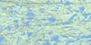
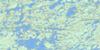
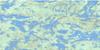
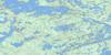
052F07 Upper Manitou Lake Topo Map
To view this map, mouse over the map preview on the right.
You can also download this topo map for free:
052F07 Upper Manitou Lake high-resolution topo map image.
Maps for the Upper Manitou Lake topo map sheet 052F07 at 1:50,000 scale are also available in these versions:
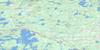
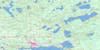
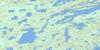
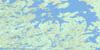
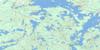
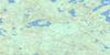
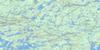
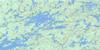
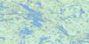
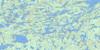
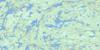
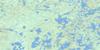
Upper Manitou Lake Surrounding Area Topo Maps
 |
 |
 |
 |
 |
 |
 |
 |
 |
 |
 |
 |
 |
 |
 |
 |
© Department of Natural Resources Canada. All rights reserved.
Upper Manitou Lake Gazetteer
The following places can be found on topographic map sheet 052F07 Upper Manitou Lake:
Upper Manitou Lake Topo Map: Bays
Benson BayBlanchard Bay
Bolton Bay
Doyle Bay
Garnet Bay
Glass Bay
Honeymoon Bay
Jackfish Bay
Mosher Bay
Niven Bay
Olsen Bay
O'Shaughnessy Bay
Reliance Bay
Rush Bay
Shaughnessy Bay
Three-O-Three Bay
Trafalgar Bay
Upper Manitou Lake Topo Map: Capes
Sandpiper PointUpper Manitou Lake Topo Map: Channels
Beaverhead NarrowsBirch Narrows
Blind Narrows
Four Mile Narrows
Manitou Straits
Red Rock Narrows
Walker's Narrows
Watson's Narrows
Upper Manitou Lake Topo Map: Falls
Watson's FallsUpper Manitou Lake Topo Map: Islands
Beaverhead IslandCharley Rock Island
Frenchman Island
Gold Island
Gold Island
Gravel Gertie Island
Green Island
Leuiller Island
Manitou Island
McGraw Island
Rochon Island
Stony Island
Swede Boys Island
Trout Island
Upper Manitou Lake Topo Map: Lakes
Arm LakeBeck Lake
Bell Lake
Benson Lake
Big Manitumeig Lake
Blanchard Lake
Bolton Lake
Boyer Lake
Butterfly Lake
Cane Lake
Carleton Lake
Crooked Lake
Dog Lake
Donnelly Lake
Dorothy Lake
Double Lake
Doyle Lake
Doyle Lake
Early Lake
Ethel Lake
Etta Lake
Gabbro Lake
Goose Egg Lake
Green Lake
Harper Lake
Helen Lake
Holcroft Lake
Johnar Lake
Jonas (Bell) Lake
Jonas Lake
Kabagukski Lake
Kamanatogama Lake
Kaminni Lake
Kekekwa Lake
Kennewapekko Lake
Kenny Lake
Kinnyu Lake
Kirkby Lake
Knowles Lake
Landon Lake
Levit Lake
Little Merrill Lake
Lower Manitou Lake
Lower Walmsley Lake
Manitumeig Lake
Marius Lake
Marshall Lake
Medwick Lake
Meggisi Lake
Merrill Lake
Mitchell Lake
Moose Lake
Mountain Lake
Mountdew Lake
Mud Lake
Navimar Lake
Noonan Lake
Noswal Lake
Peak Lake
Peekaboo Lake
Pincher Lake
Ponto Lake
Pothole Lake
Power Lake
Rajar Lake
Rattlesnake Lake
Rawlinson Lake
Rector Lake
Rubanoe Lake
Sasakwei Lake
Scattergood Lake
Secret Lake
Seggemak Lake
Selby Lake
Sharp Lake
Shongwashu Lake
Skinny Lake
Starshine Lake
Summit Lake
Sunshine Lake
Surprise Lake
Taylor Lake
Thundercloud Lake
Troutlet Lake
Troutlet Lake
Twin Narrows Lake
Uphill Lake
Upper Manitou Lake
Wakek Lake
Walmsley Lake
Washeibemaga Lake
Wawapus Lake
Wolf Howl Lake
Upper Manitou Lake Topo Map: Rivers
Kaopskikamak RiverKawashegamuk River
Long Lake River
Pincher Creek
Rabbit Brook
Rattlesnake Creek
Rawlinson Creek
Scattergood Creek
Trout River
Walmsley Creek
Wawapus Creek
Upper Manitou Lake Topo Map: Road features
Swede PortageUpper Manitou Lake Topo Map: Unincorporated areas
Gold Rock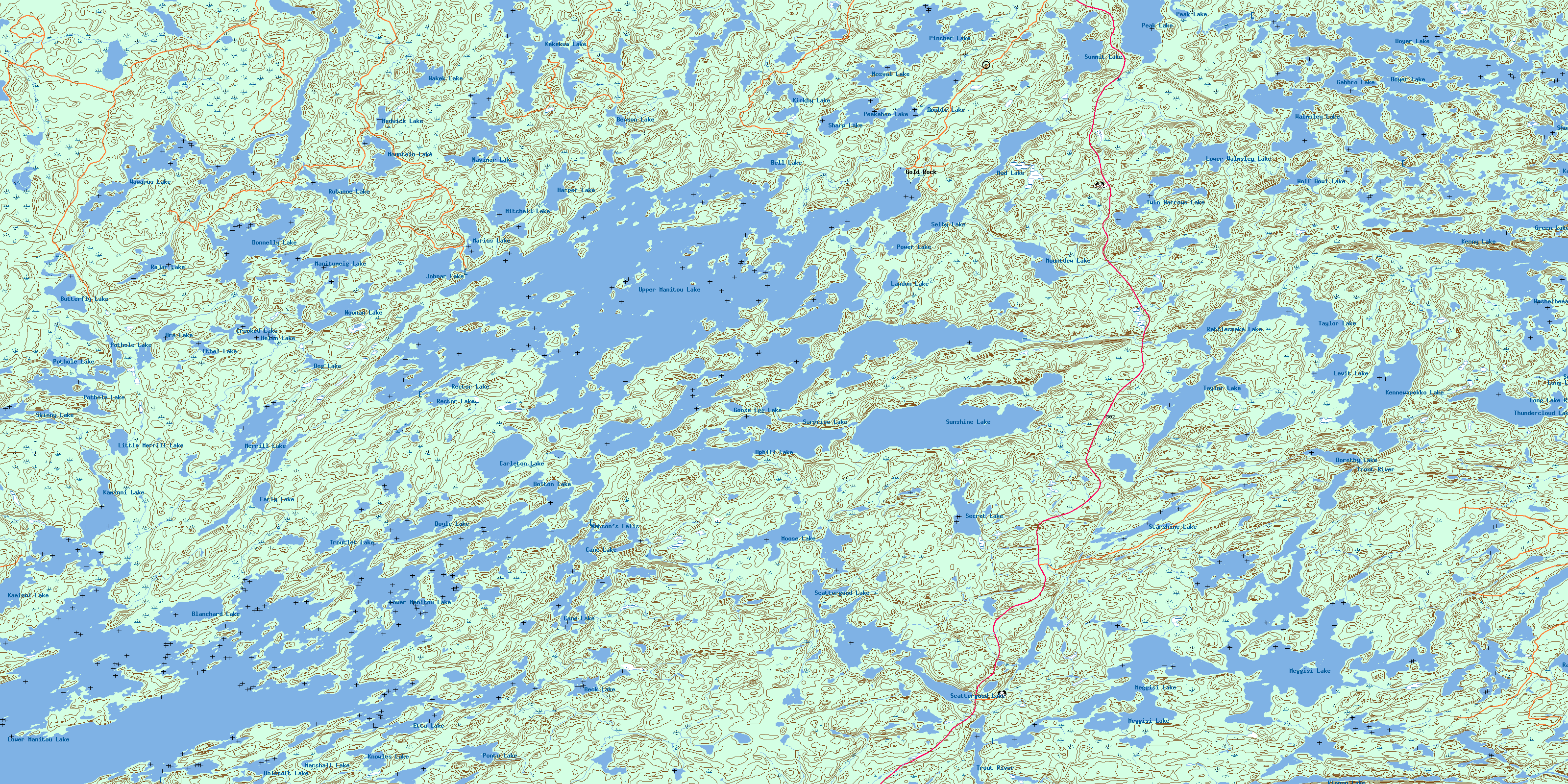
© Department of Natural Resources Canada. All rights reserved.
052F Related Maps:
052F Dryden052F01 Pekagoning Lake
052F02 Entwine Lake
052F03 Harris Lake
052F04 Kakagi Lake
052F05 Caviar Lake
052F06 Lawrence Lake
052F07 Upper Manitou Lake
052F08 Stormy Lake
052F09 Dyment
052F10 Wabigoon
052F11 Osbourne Bay
052F12 Dryberry Lake
052F13 Feist Lake
052F14 Vermilion Bay
052F15 Dryden
052F16 Big Sandy Lake
