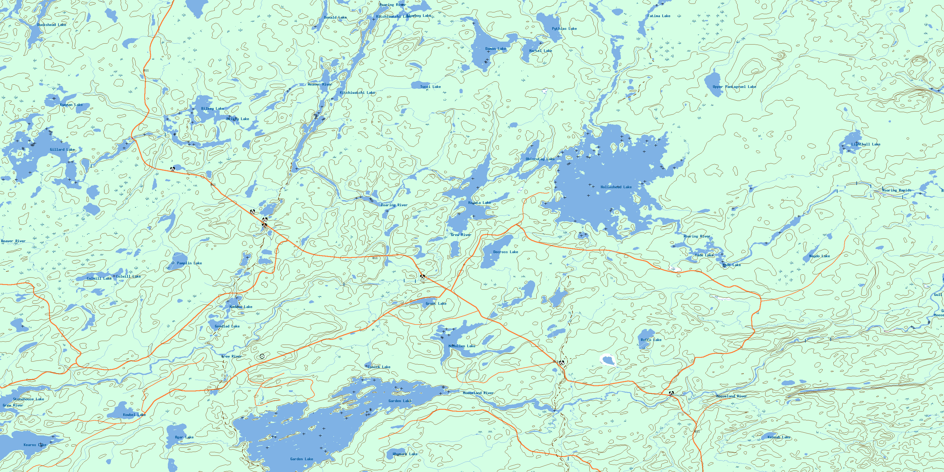
Holinshead Lake Topo Map Online
Download Free Topo Map Sheet 052H12 at 1:50,000 scale
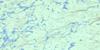
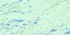
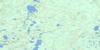
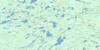
052H12 Holinshead Lake Topo Map
To view this map, mouse over the map preview on the right.
You can also download this topo map for free:
052H12 Holinshead Lake high-resolution topo map image.
Maps for the Holinshead Lake topo map sheet 052H12 at 1:50,000 scale are also available in these versions:
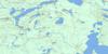
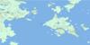
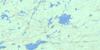
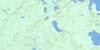
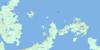
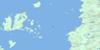
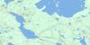
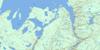
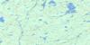
Holinshead Lake Surrounding Area Topo Maps
 |
 |
 |
 |
 |
 |
 |
 |
 |
 |
 |
 |
 |
 |
 |
 |
© Department of Natural Resources Canada. All rights reserved.
Holinshead Lake Gazetteer
The following places can be found on topographic map sheet 052H12 Holinshead Lake:
Holinshead Lake Topo Map: Lakes
Agar LakeBilkey Lake
Blackstar Lake
Blueboy Lake
Colwill Lake
Conick Lake
Cressey Lake
Damon Lake
Decross Lake
Donald Lake
Duckshead Lake
Fatima Lake
Garden Lake
Gillard Lake
Goodlad Lake
Grant Lake
Holinshead Lake
Kearns Lake
Kennah Lake
Kitchiwatchi Lake
Kowbel Lake
Kynman Lake
Lighthall Lake
Little Moraine Lake
Madden Lake
Majata Lake
Martel Lake
McMullen Lake
Naydo Lake
Obiscutay Lake
Pamplin Lake
Pythias Lake
Ruffo Lake
Stonehouse Lake
Tucci Lake
Upper Pantagruel Lake
Whymark Lake
Yade Lake
Holinshead Lake Topo Map: Conservation areas
Pantagruel Creek Provincial Nature ReserveHolinshead Lake Topo Map: Rapids
Roaring RapidsHolinshead Lake Topo Map: Rivers
Armistice CreekDamon Creek
Grew River
Gull River
Holinshead Creek
Kaiashk River
Kashishibog River
McMullen Creek
Mooseland River
Ottertooth Creek
Pantagruel Creek
Roaring River
Weaver River
© Department of Natural Resources Canada. All rights reserved.
052H Related Maps:
052H Nipigon052H01 Nipigon
052H02 Shillabeer Lake
052H03 Eaglehead Lake
052H04 Lac Des Iles
052H05 Armistice Lake
052H06 Cheeseman Lake
052H07 Black Sturgeon Lake
052H08 Orient Bay
052H09 Shakespeare Island
052H10 Grand Bay
052H11 Kabitotikwia Lake
052H12 Holinshead Lake
052H13 Uneven Lake
052H14 Gull Bay
052H15 Kelvin Island
052H16 Livingstone Point
