Grand Bay Topo Map Online
Download Free Topo Map Sheet 052H10 at 1:50,000 scale
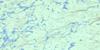
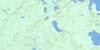
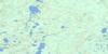
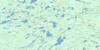
052H10 Grand Bay Topo Map
To view this map, mouse over the map preview on the right.
You can also download this topo map for free:
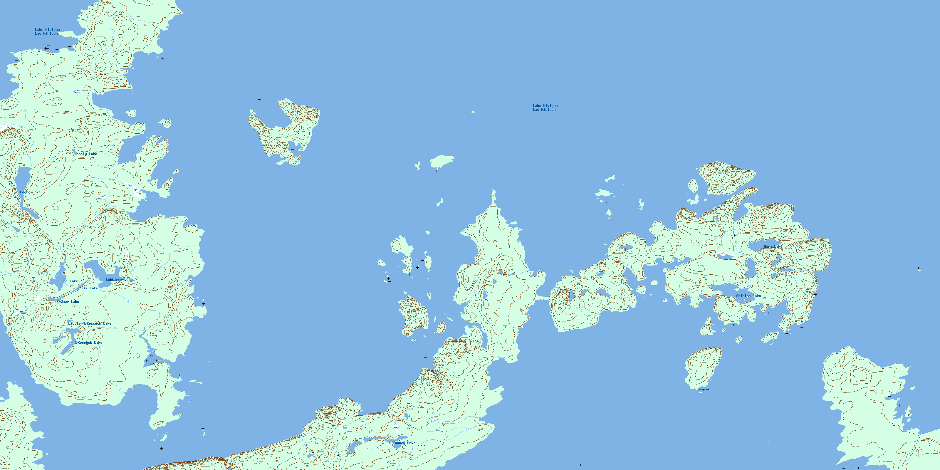
052H10 Grand Bay high-resolution topo map image.
Maps for the Grand Bay topo map sheet 052H10 at 1:50,000 scale are also available in these versions:
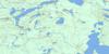
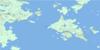
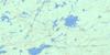
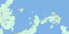
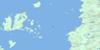
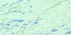
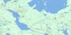
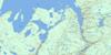
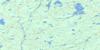
Grand Bay Surrounding Area Topo Maps
 |
 |
 |
 |
 |
 |
 |
 |
 |
 |
 |
 |
 |
 |
 |
 |
© Department of Natural Resources Canada. All rights reserved.
Grand Bay Gazetteer
The following places can be found on topographic map sheet 052H10 Grand Bay:
Grand Bay Topo Map: Bays
Black Sturgeon BayCaribouHarbour
Charlie's Harbour
Chief Bay
Grand Bay
Gull Bay
Hummingbird Harbour
Kaiashk Bay
Lynx Harbour
McIntyre Bay
Two Mountain Harbour
Grand Bay Topo Map: Capes
Burnt PointDead Poplar Point
Furness Point
Grand Cape
Gros Cap
Ingall Point
Keezis Point
Smoke Point
Spruce Point
Tchiatang Point
Grand Bay Topo Map: Channels
Gros Cap ChannelGrand Bay Topo Map: Cliffs
Tchiatang BluffGrand Bay Topo Map: Geographical areas
Thunder BayGrand Bay Topo Map: Islands
Astrand IslandBond Island
Booth Island
Brown Island
Caribou Island
Fairey Island
Gneiss Island
Lamont Island
Lynx Island
McIntyre Island
McKinnon Islands
Penkuri Island
Pipewrench Island
Pretty Island
St. Paul Island
Trunk Island
Two Mountain Island
Ursel Islands
Grand Bay Topo Map: Lakes
Bodner LakeFoote Lake
Hunt Lake
Lac Nipigon
Lake Nipigon
Lehtinen Lake
Little McKessock Lake
Lonely Lake
Maki Lake
Mara Lake
McKessock Lake
Oribine Lake
Tunney Lake
Grand Bay Topo Map: Rivers
McKessock CreekWilgar Creek
Wolf Creek
Grand Bay Topo Map: Road features
Boggy PortageTwo Mountain Portage
© Department of Natural Resources Canada. All rights reserved.
052H Related Maps:
052H Nipigon052H01 Nipigon
052H02 Shillabeer Lake
052H03 Eaglehead Lake
052H04 Lac Des Iles
052H05 Armistice Lake
052H06 Cheeseman Lake
052H07 Black Sturgeon Lake
052H08 Orient Bay
052H09 Shakespeare Island
052H10 Grand Bay
052H11 Kabitotikwia Lake
052H12 Holinshead Lake
052H13 Uneven Lake
052H14 Gull Bay
052H15 Kelvin Island
052H16 Livingstone Point
