Livingstone Point Topo Map Online
Download Free Topo Map Sheet 052H16 at 1:50,000 scale
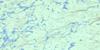
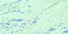
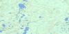
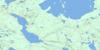
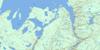
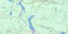
052H16 Livingstone Point Topo Map
To view this map, mouse over the map preview on the right.
You can also download this topo map for free:
052H16 Livingstone Point high-resolution topo map image.
Maps for the Livingstone Point topo map sheet 052H16 at 1:50,000 scale are also available in these versions:
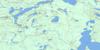
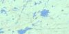
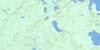
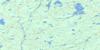
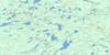
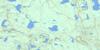
Livingstone Point Surrounding Area Topo Maps
 |
 |
 |
 |
 |
 |
 |
 |
 |
 |
 |
 |
 |
 |
 |
 |
© Department of Natural Resources Canada. All rights reserved.
Livingstone Point Gazetteer
The following places can be found on topographic map sheet 052H16 Livingstone Point:
Livingstone Point Topo Map: Bays
Bean BayCap Cove
East Bay
Fire Ranger Bay
Humboldt Bay
Peninsula Harbour
Stone Bay
Vint Bay
Weber's Harbour
Livingstone Point Topo Map: Capes
Crocker PointGravel Point
Graveyard Point
Livingstone Point
Magnet Point
Mungo Park Point
Smoothrock Point
South Peninsula
Livingstone Point Topo Map: Channels
Garek's GapLivingstone Point Topo Map: Geographical areas
BarbaraDorothea
Meader
Sandra
Livingstone Point Topo Map: Islands
Anderson IslandsBison Island
Cackleberry Island
Deer Island
Eagle Egg Island
Francis Island
Gillespie Island
Gorda Island
Gull Island
Hall Island
Harbour Island
Harry Island
Hitchcock Island
Knob Island
Lyell Island
McIvor Islands
McKellar Island
Morock Island
Murchison Island
Passage Isle
Porcupine Island
Rambler Islands
Ranger Island
Rodger Island
Round Island
Russell Island
Selwyn Island
Sister Islands
Tichnor Islands
Trout Island
Wigwam Island
Woldridge Island
Livingstone Point Topo Map: Lakes
Lac NipigonLake Nipigon
Little Lake
North Wind Lake
Livingstone Point Topo Map: Mountains
Iron Range BluffPyramid Hill
Livingstone Point Topo Map: Other municipal/district area - miscellaneous
BeardmoreNakina
Livingstone Point Topo Map: Conservation areas
Livingstone Point Provincial Nature ReserveLivingstone Point Topo Map: Rivers
Bean CreekHogan Creek
Littlelake River
North Wind River
Onaman River
Stewart Creek
Tyrol River
Livingstone Point Topo Map: Shoals
Bateau RockHardy Shoals
Margaret Reef
Tichnor Shoal
Livingstone Point Topo Map: Towns
Greenstone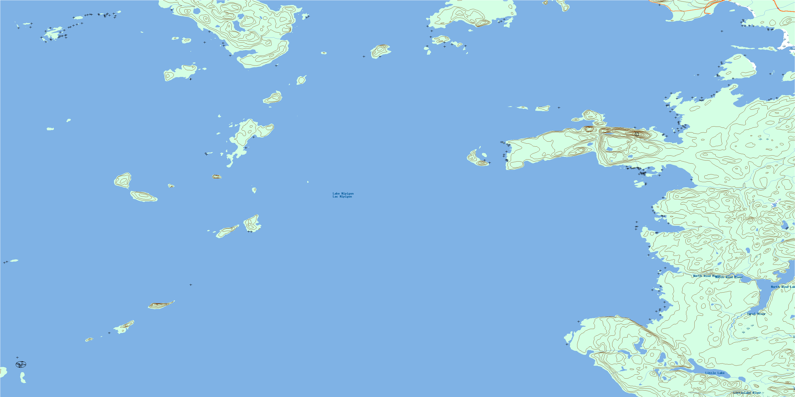
© Department of Natural Resources Canada. All rights reserved.
052H Related Maps:
052H Nipigon052H01 Nipigon
052H02 Shillabeer Lake
052H03 Eaglehead Lake
052H04 Lac Des Iles
052H05 Armistice Lake
052H06 Cheeseman Lake
052H07 Black Sturgeon Lake
052H08 Orient Bay
052H09 Shakespeare Island
052H10 Grand Bay
052H11 Kabitotikwia Lake
052H12 Holinshead Lake
052H13 Uneven Lake
052H14 Gull Bay
052H15 Kelvin Island
052H16 Livingstone Point
