Shillabeer Lake Topo Map Online
Download Free Topo Map Sheet 052H02 at 1:50,000 scale
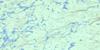
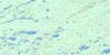
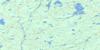
052H02 Shillabeer Lake Topo Map
To view this map, mouse over the map preview on the right.
You can also download this topo map for free:
052H02 Shillabeer Lake high-resolution topo map image.
Maps for the Shillabeer Lake topo map sheet 052H02 at 1:50,000 scale are also available in these versions:
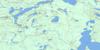
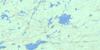
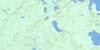
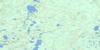
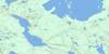
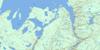
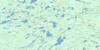
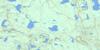
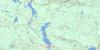
Shillabeer Lake Surrounding Area Topo Maps
 |
 |
 |
 |
 |
 |
 |
 |
 |
 |
 |
 |
 |
 |
 |
 |
© Department of Natural Resources Canada. All rights reserved.
Shillabeer Lake Gazetteer
The following places can be found on topographic map sheet 052H02 Shillabeer Lake:
Shillabeer Lake Topo Map: Bays
Muskeg BaySouth Bay
Shillabeer Lake Topo Map: Geographical areas
AdamsonChurch
Cockeram
Graydon
Hele
McIvor
McMaster
Shillabeer Lake Topo Map: Islands
McComb IslandShillabeer Lake Topo Map: Lakes
Abigogami LakeAlbert Lake
Anders Lake
Arnott Lake
Beatty Lake
Beaverhide Lake
Black Mountain Lake
Caro Lake
Church Lake
Cliff Lake
Disraeli Lake
Eileen Lake
Elm Lake
Embargo Lake
Enterprise Lake
Eskwanonwatin Lake
Evelyn Lake
Fog Lake
Forbes Lake
Forget Lake
Frazer Lake
Hayes Lake
Henderson Lake
Holness Lake
Jaw Lake
Laroche Lake
Leckie Lake
Little Sturge Lake
Lower Narrow Lake
Lynch Lake
Magee Lake
Mirror Lake
Mona Lake
Moon Lake
Moraine Lake
Mound Lake
Muskrat Lake
Nonwatin Lake
Nonwatinose Lake
Point Lake
Poplar Lake
Pringle Lake
Schmoo Lake
Scooper Lake
Seagull Lake
Shillabeer Lake
Shook Lake
Sigh Lake
Sirecho Lake
Slop Lake
Sprout Lake
Sturge Lake
True Lake
Twerp Lake
Twit Lake
Upper Narrow Lake
Veronica Lake
Zoot Lake
Shillabeer Lake Topo Map: Mountains
Black Mountain RidgeFox Mountains
Mount Magee
Wolf Mountain
Wolf Mountains
Shillabeer Lake Topo Map: Conservation areas
Albert Lake Mesa Provincial Nature ReserveBlack Sturgeon River Provincial Park
Shook Lake Conservation Reserve
Shillabeer Lake Topo Map: Rapids
Nonwatin RapidsShillabeer Lake Topo Map: Rivers
Amos CreekArnott Creek
Black Sturgeon River
Disraeli Creek
Henderson Creek
Holness Creek
John Creek
Larson Creek
Leckie Creek
Little Muskrat River
Lynch Creek
Magee Creek
McGaw Creek
Mona Creek
Moon Creek
Mound Creek
Nonwatin River
Scooper Creek
Seagull Creek
Sprout Creek
Spruce River
Twit Creek
Wolfpup Creek
Zoot Creek
Shillabeer Lake Topo Map: Unincorporated areas
Eagle Mountain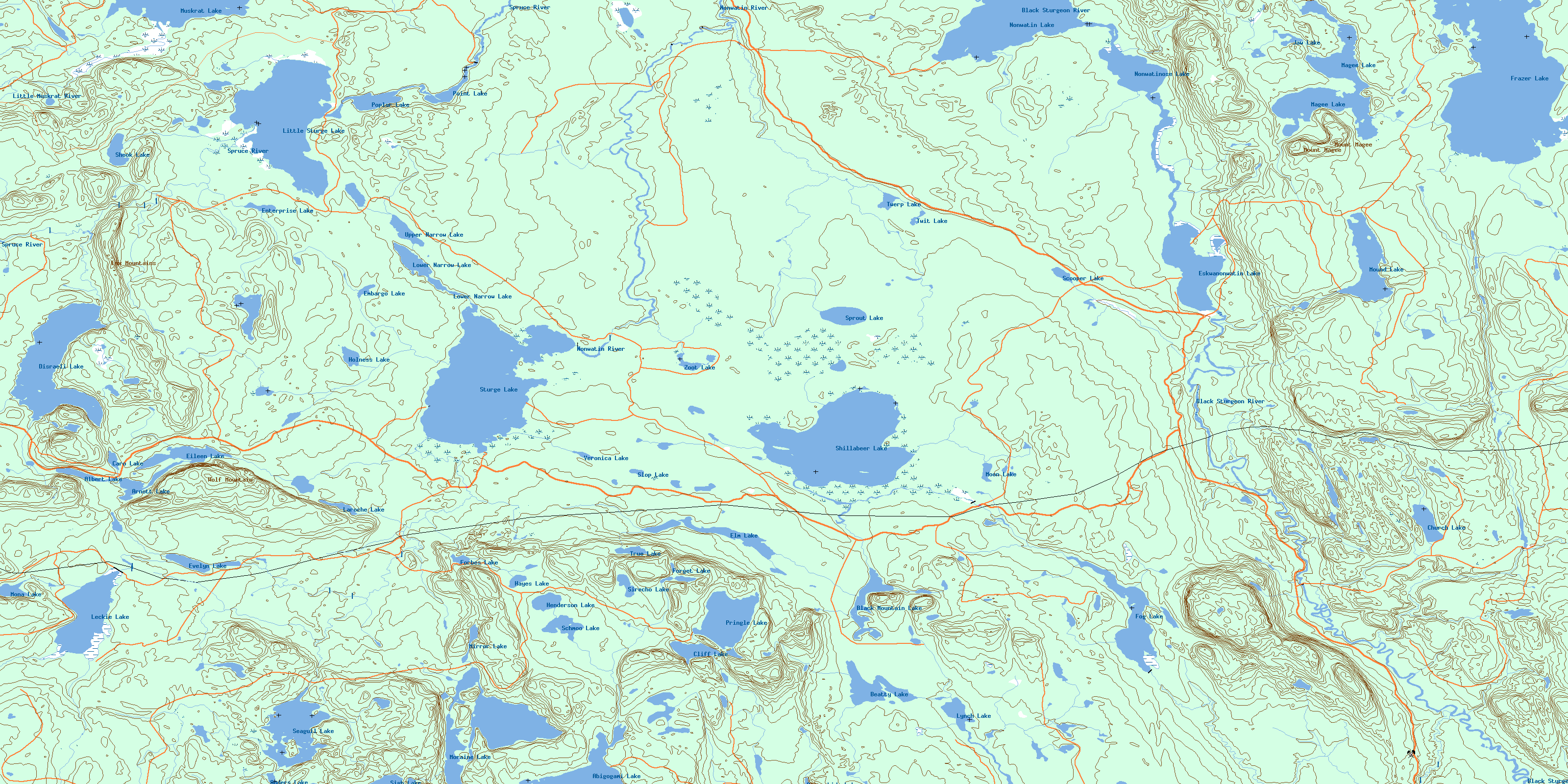
© Department of Natural Resources Canada. All rights reserved.
052H Related Maps:
052H Nipigon052H01 Nipigon
052H02 Shillabeer Lake
052H03 Eaglehead Lake
052H04 Lac Des Iles
052H05 Armistice Lake
052H06 Cheeseman Lake
052H07 Black Sturgeon Lake
052H08 Orient Bay
052H09 Shakespeare Island
052H10 Grand Bay
052H11 Kabitotikwia Lake
052H12 Holinshead Lake
052H13 Uneven Lake
052H14 Gull Bay
052H15 Kelvin Island
052H16 Livingstone Point
