Amaranth Topo Map Online
Download Free Topo Map Sheet 062J10 at 1:50,000 scale
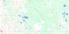
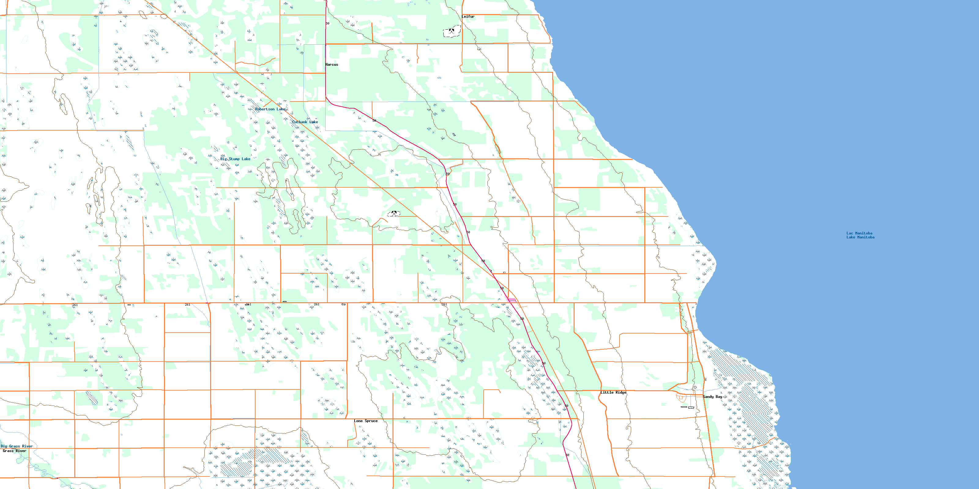
062J10 Amaranth Topo Map
To view this map, mouse over the map preview on the right.
You can also download this topo map for free:
062J10 Amaranth high-resolution topo map image.
Maps for the Amaranth topo map sheet 062J10 at 1:50,000 scale are also available in these versions:
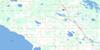
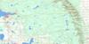
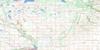
Amaranth Surrounding Area Topo Maps
 |
 |
 |
 |
 |
 |
 |
 |
 |
 |
 |
 |
 |
 |
 |
 |
© Department of Natural Resources Canada. All rights reserved.
Amaranth Gazetteer
The following places can be found on topographic map sheet 062J10 Amaranth:
Amaranth Topo Map: Bays
Sandy BayAmaranth Topo Map: Capes
Sandy PointAmaranth Topo Map: Hydraulic construction
Alonsa DrainRiding Mountain Drain
Rocklan Drain
Amaranth Topo Map: Indian Reserves
Sandy Bay 5Amaranth Topo Map: Lakes
Big Stump LakeCutbank Lake
Jackfish Lake
Lac Manitoba
Lake Manitoba
Little Long Lake
Robertson Lake
Amaranth Topo Map: Other municipal/district area - miscellaneous
AlonsaGlenella
Lakeview
Westbourne
Amaranth Topo Map: Conservation areas
Amaranth Beach Provincial Recreation ParkBig Grass Marsh Game Bird Refuge
Amaranth Topo Map: Rivers
Big Grass RiverGarrioch Creek
Amaranth Topo Map: Unincorporated areas
AmaranthBaffin
Beckville
Embury
Grass River
Harcus
Leifur
Little Ridge
Lone Spruce
Marius
Sandy Bay
Amaranth Topo Map: Low vegetation
Big Grass MarshBig Meadow
© Department of Natural Resources Canada. All rights reserved.
