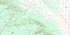
Macdonald Topo Map Online
Download Free Topo Map Sheet 062J01 at 1:50,000 scale
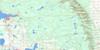
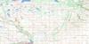
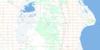
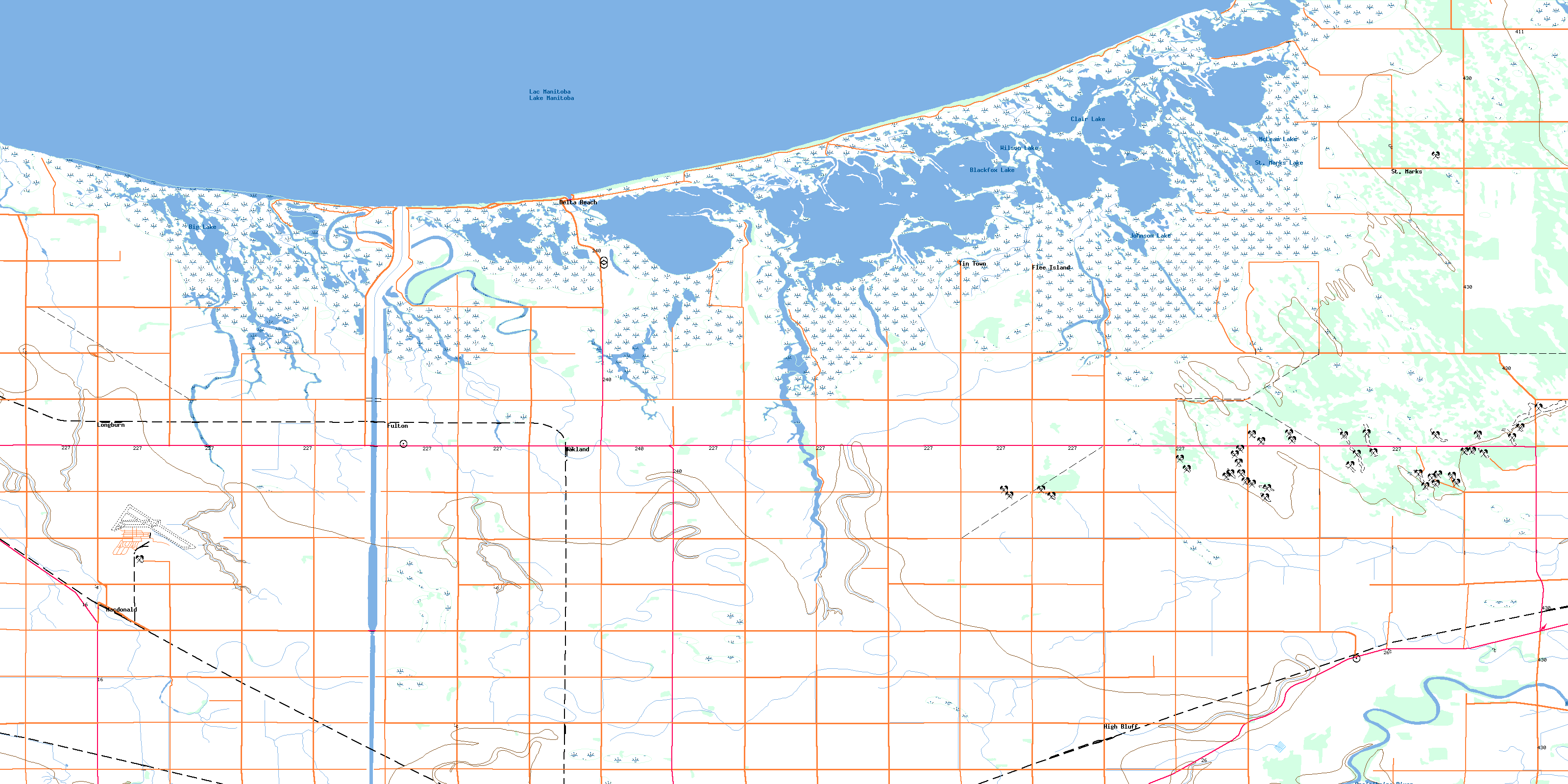
062J01 Macdonald Topo Map
To view this map, mouse over the map preview on the right.
You can also download this topo map for free:
062J01 Macdonald high-resolution topo map image.
Maps for the Macdonald topo map sheet 062J01 at 1:50,000 scale are also available in these versions:
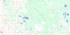
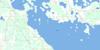
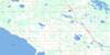
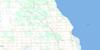
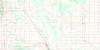
Macdonald Surrounding Area Topo Maps
 |
 |
 |
 |
 |
 |
 |
 |
 |
 |
 |
 |
 |
 |
 |
 |
© Department of Natural Resources Canada. All rights reserved.
Macdonald Gazetteer
The following places can be found on topographic map sheet 062J01 Macdonald:
Macdonald Topo Map: Bays
Aikens BayBluebill Bay
Cadham Bay
Clandeboye Bay
Clandeboye Bay
Division Bay
Eaglenest Bay
First Bay
Forsters Bay
Gadwell Bay
Home Bay
Kitsons Bay
Lyttle Bay
Marsh Wren Bay
Portage Creek Bay
Richardsons Bay
Riley Bay
School Bay
School House Bay
Second Bay
Simpson Bay
Small Bluebill Bay
Thompsons Bay
Twenty Two Bay
Waterhen Bay
Westcan Bay
Macdonald Topo Map: Capes
Bell PointCadham Point
Dog Point
Gillis Point
Greys Pass
Hefelfingers Point
North Stony Point
North Waterhen Point
Pitblados Point
Pointe à Cook
Porkchop Point
President Point
South Stony Point
South Waterhen Point
Macdonald Topo Map: Channels
Delta ChannelGoldeye Pass
Hextalls Pass
Lavallee Pass
Lavallée Pass
Lavelle Pass
Peacocks Pass
Sioux Pass
The Gap
The Narrows
Macdonald Topo Map: Forests
Oxbow WoodsMacdonald Topo Map: Geographical areas
High BluffPoplar Point
Macdonald Topo Map: Hydraulic construction
Arona DrainLong Lake Drain
Mount Pleasant Drain
Portage Diversion
Rignold Drain
Macdonald Topo Map: Islands
Flee IslandLost Tooth Island
Macdonald Topo Map: Lakes
Big LakeBlackfox Lake
Bone Pile Pothole
Chief Lake
Clair Lake
Crescent Pond
Dog Lake
Goldeye Pond
Halmarsons Pothole
High Bluff Lake
Horseshoe Pond
Jackfish Pond
Johnson Lake
Lac Manitoba
Lake Manitoba
Lake Merganser
McLean Lake
Richardsons Potholes
Salt Pond
St. Marks Lake
Sushawap Lake
Twin Lakes
Wilson Lake
Macdonald Topo Map: Other municipal/district area - miscellaneous
Portage la PrairieMacdonald Topo Map: Conservation areas
Delta Game Bird RefugeSt. Ambroise Game Bird Refuge
Macdonald Topo Map: Rivers
Assiniboine RiverBlind Channel
Blue Ribbon Creek
Cook Creek
Cooks Creek
Cram Creek
Deep Creek
Eaglenest Creek
Fish Creek
Flee Island Creek
Frenchman Creek
House Creek
Image Creek
Lavallee Creek
Lavallée Creek
Lavelle Creek
Long Creek
Mill Creek
Mink Creek
Perch Creek
Portage Creek
Rat Creek
Rat Creek
Robertson Creek
Short Creek
The Long Arm
Waterhen Creek
West Deep Creek
Williams Creek
Willow Bend Creek
Willowbend Creek
Macdonald Topo Map: Unincorporated areas
AlphaDelta Beach
Dundonald
Flee Island
Fulton
Genest
High Bluff
Longburn
Macdonald
Oakland
St. Marks
Tin Town
Townline
Macdonald Topo Map: Low vegetation
Dans SloughDecoy Marsh
Delta Marsh
Flynns Slough
Johnsons Marsh
Lairds Slough
Richies Slough
Sharps Slough
Sioux Pass Marsh
© Department of Natural Resources Canada. All rights reserved.
