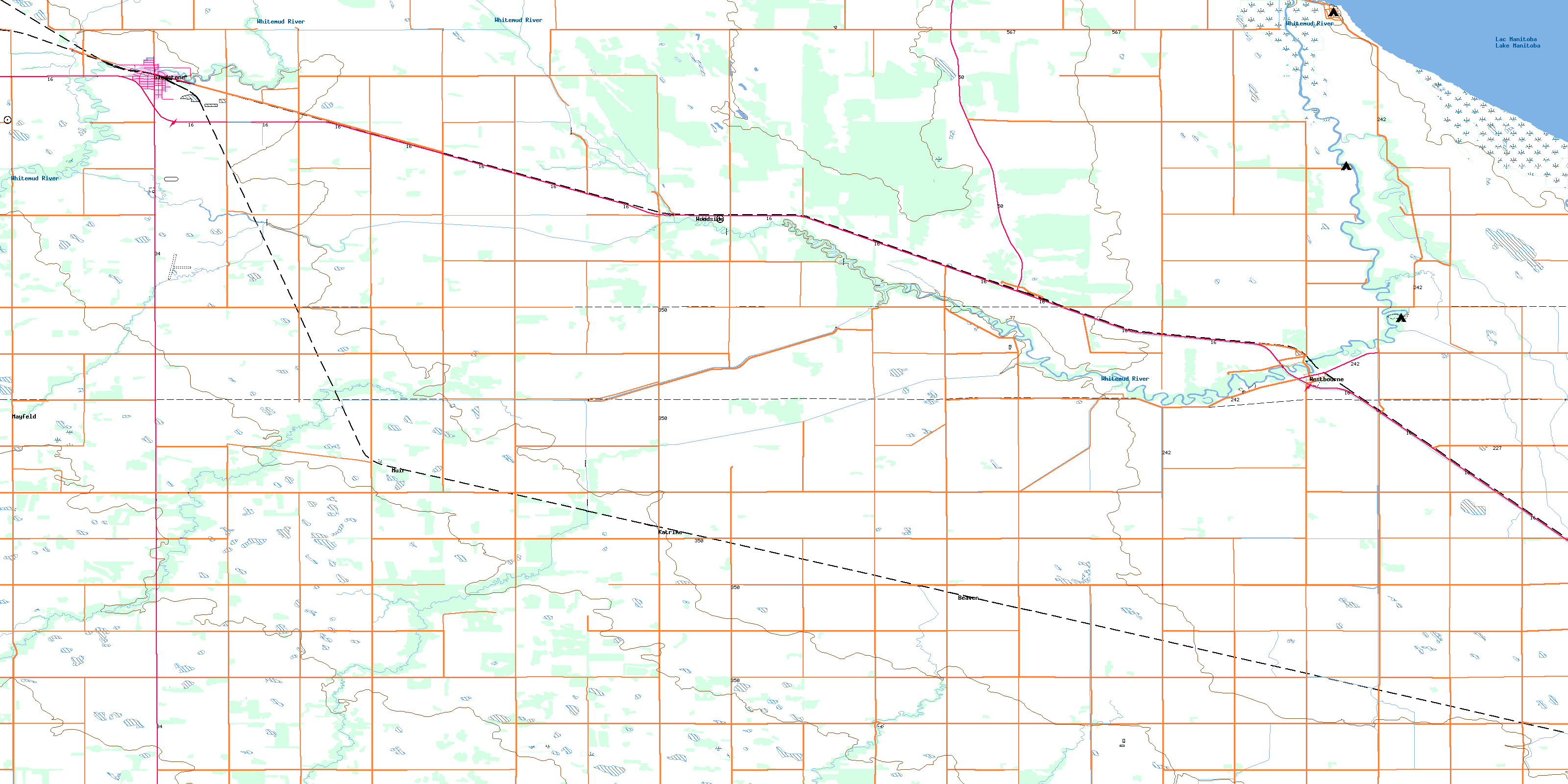
Gladstone Topo Map Online
Download Free Topo Map Sheet 062J02 at 1:50,000 scale
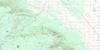
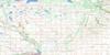
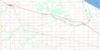
062J02 Gladstone Topo Map
To view this map, mouse over the map preview on the right.
You can also download this topo map for free:
062J02 Gladstone high-resolution topo map image.
Maps for the Gladstone topo map sheet 062J02 at 1:50,000 scale are also available in these versions:
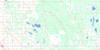
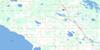
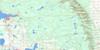
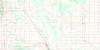
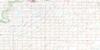
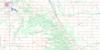
Gladstone Surrounding Area Topo Maps
 |
 |
 |
 |
 |
 |
 |
 |
 |
 |
 |
 |
 |
 |
 |
 |
© Department of Natural Resources Canada. All rights reserved.
Gladstone Gazetteer
The following places can be found on topographic map sheet 062J02 Gladstone:
Gladstone Topo Map: Capes
Lynchs PointGladstone Topo Map: Geographical areas
Westbourne SettlementGladstone Topo Map: Hydraulic construction
Bagot DrainBindon Drain
Campbell Drain
Dead Lake Drain
Fourth Base Drain
Gillespie Drain
New Beaudin Drain
Old Beaudin Drain
Paryniuks Drain
Rignold Drain
Westbourne Drain
Gladstone Topo Map: Lakes
Dead LakeLac Manitoba
Lake Manitoba
Gladstone Topo Map: Other municipal/district area - miscellaneous
LakeviewNorth Norfolk
Portage la Prairie
Westbourne
Gladstone Topo Map: Conservation areas
Lynch Point Game Bird RefugeLynch Point Provincial Recreation Park
Lynchs Point Game Bird Refuge
Gladstone Topo Map: Plains
Image PlainGladstone Topo Map: Rivers
Beaver CreekGolden Stream
Gopher Creek
House Creek
Image Creek
Perch Creek
Pine Creek
Rat Creek
Silver Stream
Squirrel Creek
Squirrel Creek
West Squirrel Creek
Whitemud River
Whitemud River
Willow Bend Creek
Willowbend Creek
Gladstone Topo Map: Towns
GladstoneGladstone Topo Map: Unincorporated areas
BeaverCawdor
Golden Stream
Hugo
Katrime
Mayfeld
Mayfeld Station
Mayfield
Muir
Pine Creek Station
Rignold
Totogon
Westbourne
Westroc
Woodside
Youill
© Department of Natural Resources Canada. All rights reserved.
