Glen Elmo Topo Map Online
Download Free Topo Map Sheet 062K15 at 1:50,000 scale
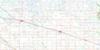
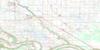
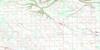
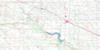
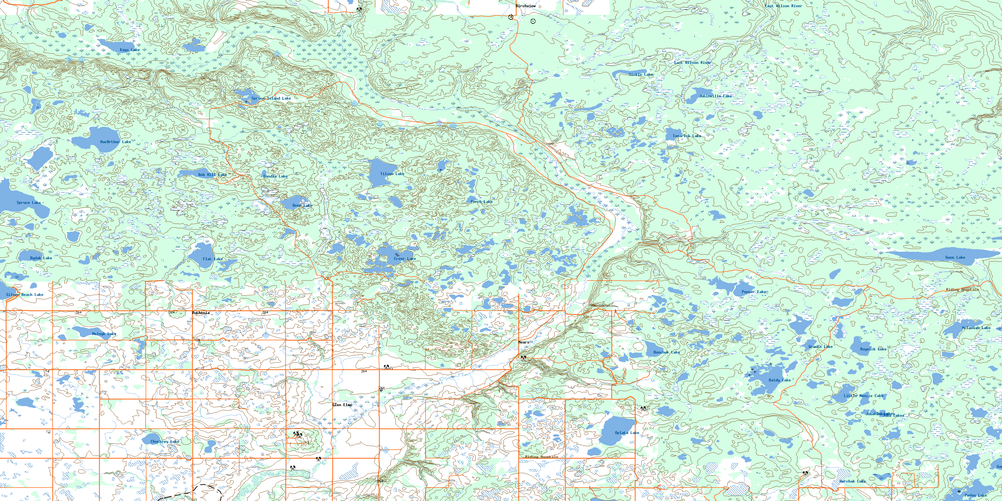
062K15 Glen Elmo Topo Map
To view this map, mouse over the map preview on the right.
You can also download this topo map for free:
062K15 Glen Elmo high-resolution topo map image.
Maps for the Glen Elmo topo map sheet 062K15 at 1:50,000 scale are also available in these versions:
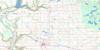
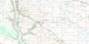
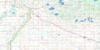
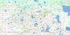
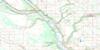
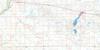
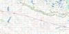
Glen Elmo Surrounding Area Topo Maps
 |
 |
 |
 |
 |
 |
 |
 |
 |
 |
 |
 |
 |
 |
 |
 |
© Department of Natural Resources Canada. All rights reserved.
Glen Elmo Gazetteer
The following places can be found on topographic map sheet 062K15 Glen Elmo:
Glen Elmo Topo Map: Beaches
Silver BeachGlen Elmo Topo Map: Lakes
Baldy LakeBob Hill Lake
Bonchak Lake
Bonchuk Lake
Bydak Lake
Chuckrey Lake
Creer Lake
Deep Lake
Dutczak Lake
Flat Lake
Forty Five Lake
Gandza Lake
Ganza Lake
Gardiner Lake
Grants Lake
Gunn Lake
Herchak Lake
Juba Lakes
Jubinville Lake
Kays Lake
Little Menzie Lake
Little Menzies Lake
Little Szmyr Lake
MacArthur Lake
McTavish Lake
Melnyk Lake
Oplata Lake
Peden Lake
Pepper Lake
Perch Lake
Rossman Lake
Roynick Lake
Sandy Lake
Sickle Lake
Silver Beach Lake
Spruce Island Lake
Spruce Lake
Szmyr Lake
Tamarisk Lake
Tilson Lake
Glen Elmo Topo Map: Mountains
Bob HillButler Hill
Riding Mountain
Sleigh Hill
Glen Elmo Topo Map: Other municipal/district area - miscellaneous
BoultonGilbert Plains
Grandview
Rossburn
Shellmouth-Boulton
Silver Creek
Glen Elmo Topo Map: Conservation areas
Parc national du Canada du Mont-RidingParkland Wildlife Management Area
Riding Mountain National Park of Canada
Glen Elmo Topo Map: Rivers
Birdtail CreekButler Creek
East Wilson River
Gunn Creek
Harper Creek
Heron Creek
Konyk Creek
Mears Creek
Ranch Creek
Renicker Creek
Ross Creek
Rossman Creek
Tilson Creek
West Wilson River
Glen Elmo Topo Map: Unincorporated areas
BirchviewGlen Elmo
Mears
Ruthenia
Glen Elmo Topo Map: Low vegetation
Bob Hill PrairieKostuik Marsh
Plante Flats
© Department of Natural Resources Canada. All rights reserved.
