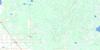
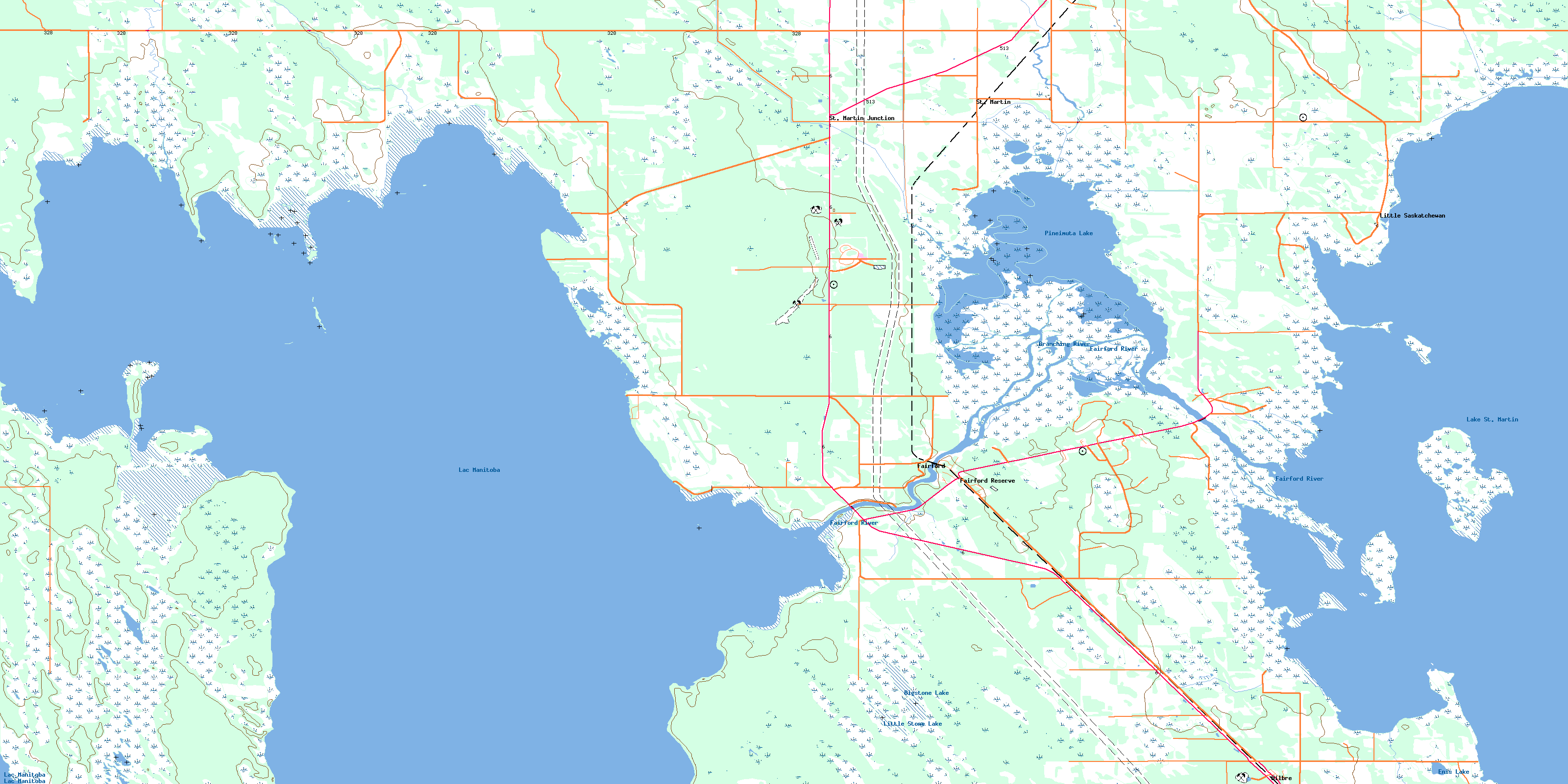
Fairford Topo Map Online
Download Free Topo Map Sheet 062O10 at 1:50,000 scale
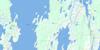
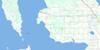
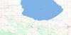
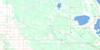
062O10 Fairford Topo Map
To view this map, mouse over the map preview on the right.
You can also download this topo map for free:
062O10 Fairford high-resolution topo map image.
Maps for the Fairford topo map sheet 062O10 at 1:50,000 scale are also available in these versions:
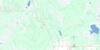
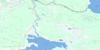
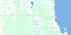
Fairford Surrounding Area Topo Maps
 |
 |
 |
 |
 |
 |
 |
 |
 |
 |
 |
 |
 |
 |
 |
 |
© Department of Natural Resources Canada. All rights reserved.
Fairford Gazetteer
The following places can be found on topographic map sheet 062O10 Fairford:
Fairford Topo Map: Bays
Davis BayPortage Bay
Sandy Bay
Fairford Topo Map: Beaches
Hilbre BeachSterba Beach
Fairford Topo Map: Capes
Birch PointDavis Point
Dillaboughs Point
Fox Point
Reed Point
Sandy Point
Fairford Topo Map: Hydraulic construction
Byng DrainFairford Dam
Homebrook Drain
Karpaty Drain
Fairford Topo Map: Indian Reserves
Fairford 50Little Saskatchewan 48
Fairford Topo Map: Islands
Big Fisher IslandGulls Island
Little Fisher Island
Maple Island
North Fisher Island
Pine Island
Reed Island
South Fisher Island
Sugar Island
Fairford Topo Map: Lakes
Bigstone LakeEnis Lake
Lac Manitoba
Lake Manitoba
Lake St. Martin
Little Stone Lake
Pineimuta Lake
Fairford Topo Map: Other municipal/district area - miscellaneous
GrahamdaleFairford Topo Map: Conservation areas
Basket Lake Wildlife Management AreaHilbre Wildlife Management Area
Lake St. Martin Provincial Recreation Park
Peonan Point Wildlife Management Area
Fairford Topo Map: Rivers
Basket CreekBasket River
Branching River
Fairford River
Inlet Creek
Partridge Creek
Powderhorn Creek
Fairford Topo Map: Unincorporated areas
Davis PointFairford
Fairford Reserve
Hilbre
Homebrook
Little Saskatchewan
Pineimuta
St. Martin
St. Martin Junction
St. Martin Station
© Department of Natural Resources Canada. All rights reserved.
062O Related Maps:
062O Dauphin Lake062O01 Ashern
062O02 Ebb And Flow Lake
062O03 Lonely Lake
062O04 Ochre River
062O05 Rorketon
062O06 Cayer
062O07 Steep Rock
062O08 Moosehorn
062O09 Lake St Martin
062O10 Fairford
062O11 Crane Bay
062O12 Winnipegosis
062O13 Skownan
062O14 Proulx Lake
062O15 Gypsumville
062O16 Dauphin River
