Winnipegosis Topo Map Online
Download Free Topo Map Sheet 062O12 at 1:50,000 scale
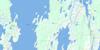
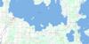
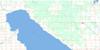
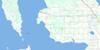
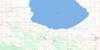
062O12 Winnipegosis Topo Map
To view this map, mouse over the map preview on the right.
You can also download this topo map for free:
062O12 Winnipegosis high-resolution topo map image.
Maps for the Winnipegosis topo map sheet 062O12 at 1:50,000 scale are also available in these versions:
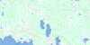
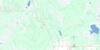
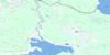
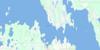
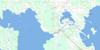
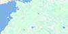
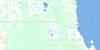
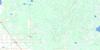
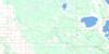
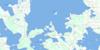
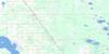
Winnipegosis Surrounding Area Topo Maps
 |
 |
 |
 |
 |
 |
 |
 |
 |
 |
 |
 |
 |
 |
 |
 |
© Department of Natural Resources Canada. All rights reserved.
Winnipegosis Gazetteer
The following places can be found on topographic map sheet 062O12 Winnipegosis:
Winnipegosis Topo Map: Bays
Arpins BayBass Bay
Bergs Bay
Fergusons Bay
Jeannottes Bay
Long Island Bay
Sagemace Bay
Toutes Aides Bay
Wauhkonens Bay
Winnipegosis Topo Map: Capes
Aimes PointAimés Point
Benake Point
Benyks Point
Birch Point
Conrad Point
Dufaults Point
East Salt Point
Ellis Point
Farmers Point
Gislason Point
MacKenzie Point
Red Deer Point
Salt Point
Shortys Point
West Salt Point
Winnipegosis Topo Map: Forests
Horse BluffWinnipegosis Topo Map: Hydraulic construction
Red Deer Point DrainWinnipegosis Topo Map: Islands
Babe IslandBachelors Island
Blank Island
Charlie Island
Long Island
Pine Island
Poplar Island
Snake Island
Terrail Island
Weasel Island
Weasel Island Rock Pile
Winnipegosis Topo Map: Lakes
Fletts LakesLac Manitoba
Lac Winnipegosis
Lake Manitoba
Lake Winnipegosis
Lawrence Lake
Lottie Lake
Lytwyns Lake
Malynyk Lake
Marina Lake
McCann Lake
Salt Lake
Spence Lake
Winnipegosis Topo Map: Mountains
Horses BluffWinnipegosis Topo Map: Other municipal/district area - miscellaneous
LawrenceMossey River
Winnipegosis Topo Map: Conservation areas
Manipogo Provincial ParkManipogo Provincial Recreation Park
Winnipegosis Topo Map: Rivers
Armstrong CreekCork Cliff Creek
Fergusons Creek
Fletts Creek
Fork River
German Creek
Luchsinger Creek
Mossy River
Robinson Creek
Szewczuks Creek
Thorsteinson Creek
Waterhen River
Woods Creek
Winnipegosis Topo Map: Road features
Meadow PortageWinnipegosis Topo Map: Shoals
Bachelors Island ReefMapes Reef
Winnipegosis Topo Map: Unincorporated areas
Benyks PointLibreville
Meadow Portage
Meadowlands
Spence Lake
Volga
Woods Creek
Winnipegosis Topo Map: Low vegetation
Holka MarshVolga Marsh
Winnipegosis Topo Map: Villages
Winnipegosis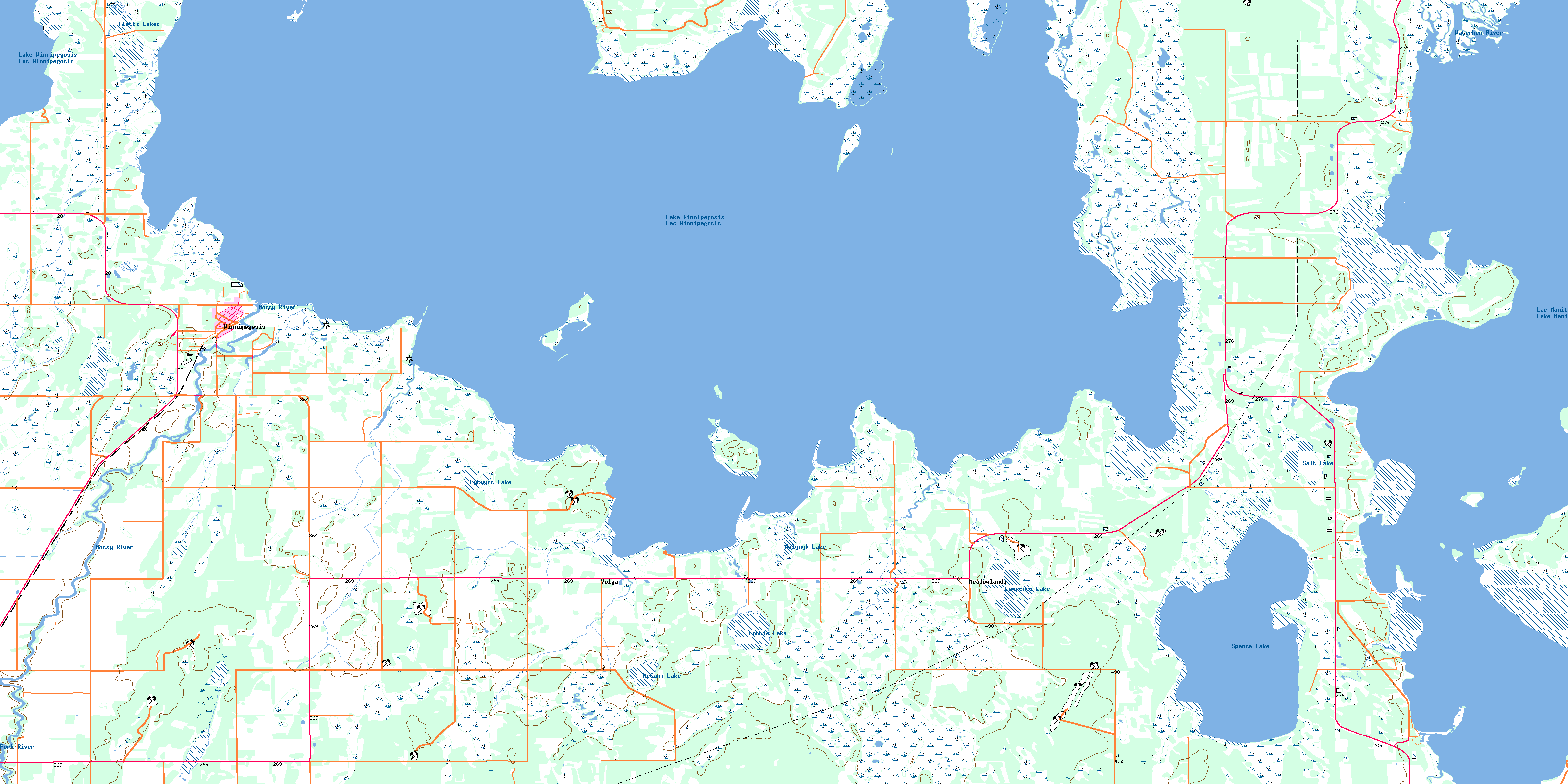
© Department of Natural Resources Canada. All rights reserved.
062O Related Maps:
062O Dauphin Lake062O01 Ashern
062O02 Ebb And Flow Lake
062O03 Lonely Lake
062O04 Ochre River
062O05 Rorketon
062O06 Cayer
062O07 Steep Rock
062O08 Moosehorn
062O09 Lake St Martin
062O10 Fairford
062O11 Crane Bay
062O12 Winnipegosis
062O13 Skownan
062O14 Proulx Lake
062O15 Gypsumville
062O16 Dauphin River
