Crane Bay Topo Map Online
Download Free Topo Map Sheet 062O11 at 1:50,000 scale
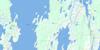
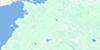
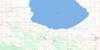
062O11 Crane Bay Topo Map
To view this map, mouse over the map preview on the right.
You can also download this topo map for free:
062O11 Crane Bay high-resolution topo map image.
Maps for the Crane Bay topo map sheet 062O11 at 1:50,000 scale are also available in these versions:
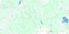
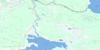
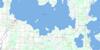
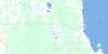
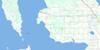
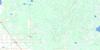
Crane Bay Surrounding Area Topo Maps
 |
 |
 |
 |
 |
 |
 |
 |
 |
 |
 |
 |
 |
 |
 |
 |
© Department of Natural Resources Canada. All rights reserved.
Crane Bay Gazetteer
The following places can be found on topographic map sheet 062O11 Crane Bay:
Crane Bay Topo Map: Bays
Ahmos BayCrane Bay
Flathouse Bay
Million Dollar Bay
Poplar Bay
Portage Bay
Toutes Aides Bay
Wigwam Bay
Crane Bay Topo Map: Capes
Ahmos PointBig Sandy Point
Big Sandy Point
Captains Point
Eagle Point
Elm Point
Flathouse Point
Hairy Man Point
Little Sandy Point
Monroe Point
No Pole Point
Onion Point
Onion Point
Pentamerus Point
Peonan Point
Pole Point
Ranvilles Point
Reserve Point
Sandy Point
Steeprock Point
Crane Bay Topo Map: Channels
Crane NarrowsCrane Bay Topo Map: Indian Reserves
Crane River 51Crane Bay Topo Map: Islands
Bergs IslandFlat Island
Garden Island
Hay Island
Heron Island
Hunter Island
Hunting Island
Louis Island
North Twin Island
Poplar Island
Proulx Island
South Twin Island
Violet Island
Crane Bay Topo Map: Lakes
Claude LakeLac Manitoba
Lake Manitoba
Martin Lake
Oliver Lake
Roland Lake
Steeprock Lake
Twist Lake
Yankee Lake
Crane Bay Topo Map: Other municipal/district area - miscellaneous
LawrenceCrane Bay Topo Map: Conservation areas
Basket Lake Wildlife Management AreaCrane River Provincial Recreation Park
Proulx Lake Wildlife Management Area
Crane Bay Topo Map: Rivers
Crane RiverMcKenzie River
Steeprock Creek
Crane Bay Topo Map: Unincorporated areas
Crane River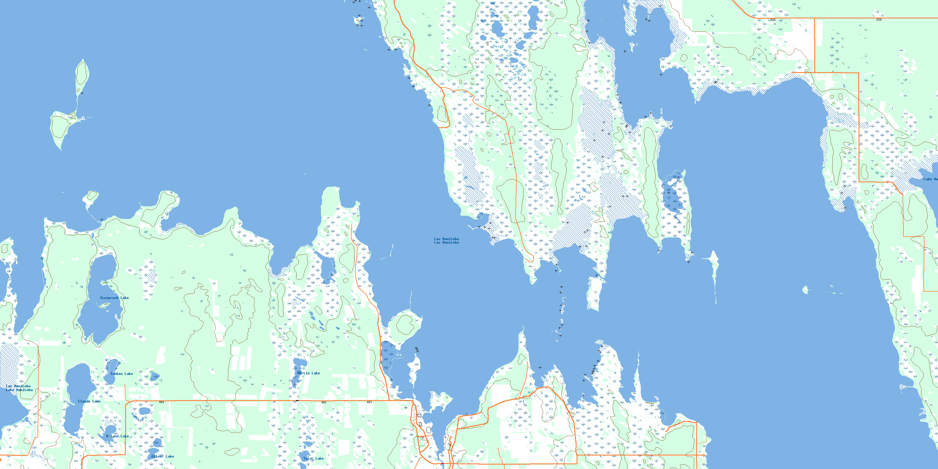
© Department of Natural Resources Canada. All rights reserved.
062O Related Maps:
062O Dauphin Lake062O01 Ashern
062O02 Ebb And Flow Lake
062O03 Lonely Lake
062O04 Ochre River
062O05 Rorketon
062O06 Cayer
062O07 Steep Rock
062O08 Moosehorn
062O09 Lake St Martin
062O10 Fairford
062O11 Crane Bay
062O12 Winnipegosis
062O13 Skownan
062O14 Proulx Lake
062O15 Gypsumville
062O16 Dauphin River
