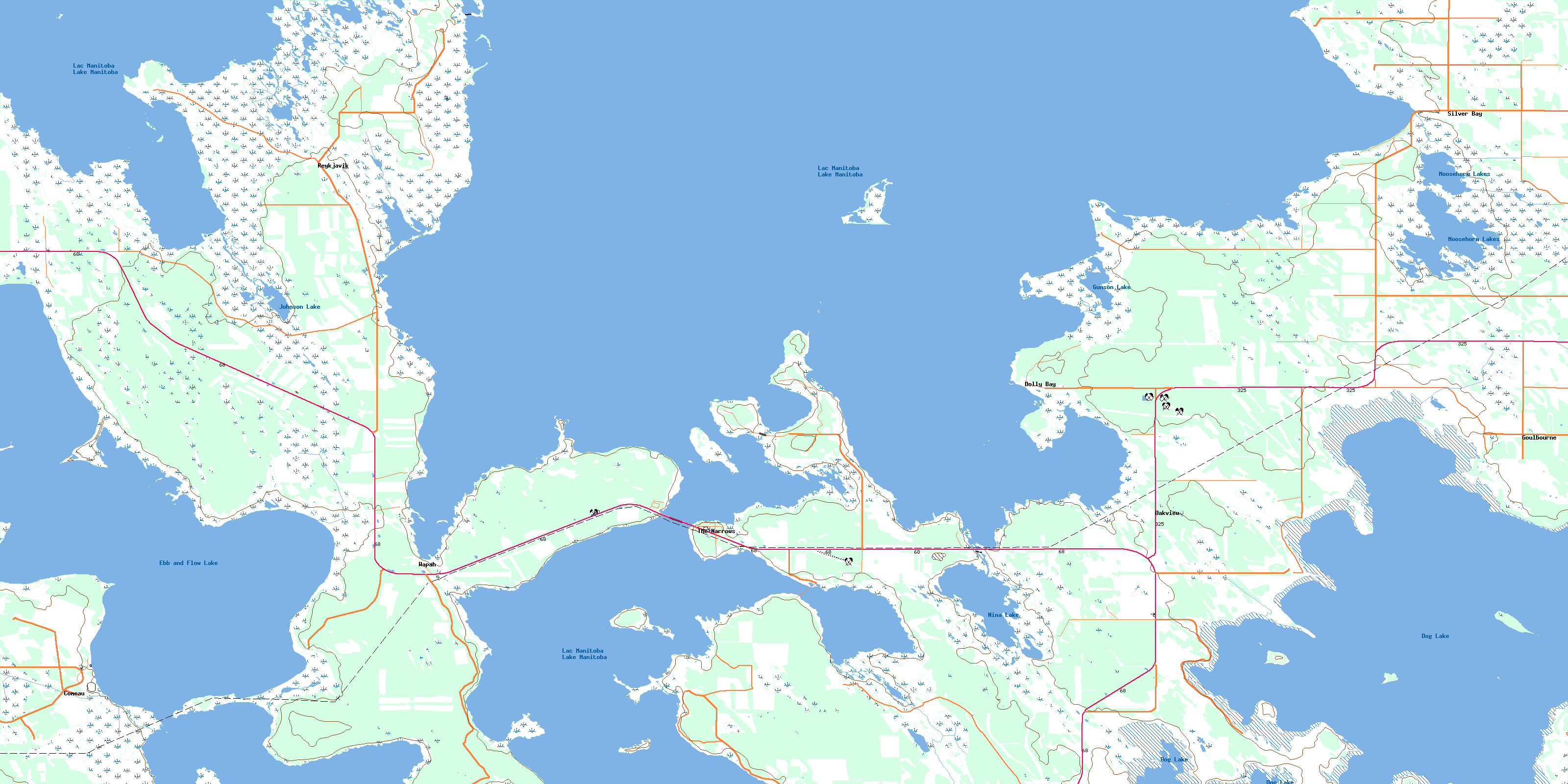
Ebb And Flow Lake Topo Map Online
Download Free Topo Map Sheet 062O02 at 1:50,000 scale
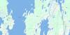
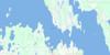
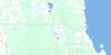
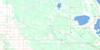
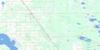
062O02 Ebb And Flow Lake Topo Map
To view this map, mouse over the map preview on the right.
You can also download this topo map for free:
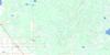
062O02 Ebb And Flow Lake high-resolution topo map image.
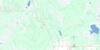
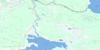
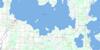
Maps for the Ebb And Flow Lake topo map sheet 062O02 at 1:50,000 scale are also available in these versions:
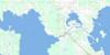
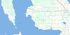
Ebb And Flow Lake Surrounding Area Topo Maps
 |
 |
 |
 |
 |
 |
 |
 |
 |
 |
 |
 |
 |
 |
 |
 |
© Department of Natural Resources Canada. All rights reserved.
Ebb And Flow Lake Gazetteer
The following places can be found on topographic map sheet 062O02 Ebb And Flow Lake:
Ebb And Flow Lake Topo Map: Bays
Dolly BayGrassy Bay
Kaupontekak Bay
Kris Bay
Marsh Bay
Moosehorn Bay
Olafson Bay
Silver Bay
Skunk Bay
The Bluff Harbour
Vankoughnet Bay
Ebb And Flow Lake Topo Map: Beaches
Silver Bay BeachEbb And Flow Lake Topo Map: Capes
Bluff PointBoulbrias Point
Freemans Point
Grassy Point
Guillas Point
Jonasson Point
Mathesons Point
North Peterson Point
Richard Point
Rocky Point
Sigurdson Point
The Stone Point
Upper Oak Point
Ebb And Flow Lake Topo Map: Channels
Lake Manitoba NarrowsThe Narrows
Ebb And Flow Lake Topo Map: Cliffs
The BluffEbb And Flow Lake Topo Map: Hydraulic construction
Ashern DrainEbb And Flow Lake Topo Map: Indian Reserves
Ebb and Flow 52Ebb And Flow Lake Topo Map: Islands
Gunnlaugson IslandGunnlaugsson Island
Kaupontekak Island
Manitoba Island
Manitou Island
Maple Island
Red Deer Island
Reed Island
Sugarbush Island
Ebb And Flow Lake Topo Map: Lakes
Dog LakeEbb and Flow Lake
Gunson Lake
Johnson Lake
Lac Manitoba
Lake Manitoba
Moosehorn Lake
Moosehorn Lakes
Nina Lake
Ebb And Flow Lake Topo Map: Other municipal/district area - miscellaneous
AlonsaGrahamdale
Siglunes
Ebb And Flow Lake Topo Map: Conservation areas
Dog Lake Islands Game Bird RefugeDog Lake Wildlife Management Area
Moosehorn Wildlife Management Area
Reykjavik Game Bird Refuge
Ebb And Flow Lake Topo Map: Rivers
Dolly CreekGunnlaugson Creek
Gunnlaugsson Creek
Johnson Creek
Moosehorn Creek
Ebb And Flow Lake Topo Map: Unincorporated areas
ComeauDolly Bay
Goulbourne
Oakview
Reykjavik
Silver Bay
The Narrows
Wapah
© Department of Natural Resources Canada. All rights reserved.
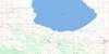
062O Related Maps:
062O Dauphin Lake062O01 Ashern
062O02 Ebb And Flow Lake
062O03 Lonely Lake
062O04 Ochre River
062O05 Rorketon
062O06 Cayer
062O07 Steep Rock
062O08 Moosehorn
062O09 Lake St Martin
062O10 Fairford
062O11 Crane Bay
062O12 Winnipegosis
062O13 Skownan
062O14 Proulx Lake
062O15 Gypsumville
062O16 Dauphin River
