Hays Topo Map Online
Download Free Topo Map Sheet 072L04 at 1:50,000 scale
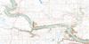
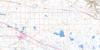
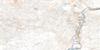
072L04 Hays Topo Map
To view this map, mouse over the map preview on the right.
You can also download this topo map for free:
072L04 Hays high-resolution topo map image.
Maps for the Hays topo map sheet 072L04 at 1:50,000 scale are also available in these versions:
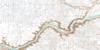
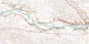
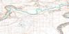
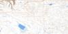
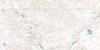
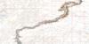
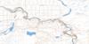
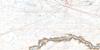
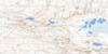
Hays Surrounding Area Topo Maps
 |
 |
 |
 |
 |
 |
 |
 |
 |
 |
 |
 |
 |
 |
 |
 |
© Department of Natural Resources Canada. All rights reserved.
Hays Gazetteer
The following places can be found on topographic map sheet 072L04 Hays:
Hays Topo Map: Islands
Prairie IslandHays Topo Map: Mountains
Bad Land HillsLittle Rolling Hills
Hays Topo Map: Major municipal/district area - major agglomerations
County of Newell No. 4Municipal District of Cypress No. 1
Municipal District of Taber
Municipal District of Taber No. 14
Hays Topo Map: Rivers
Bow RiverTwelve Mile Creek
Hays Topo Map: Unincorporated areas
ArmelgraCecil
Hays
Rolling Hills
Ronalane
Scope
Hays Topo Map: Valleys
Twelve Mile Coulee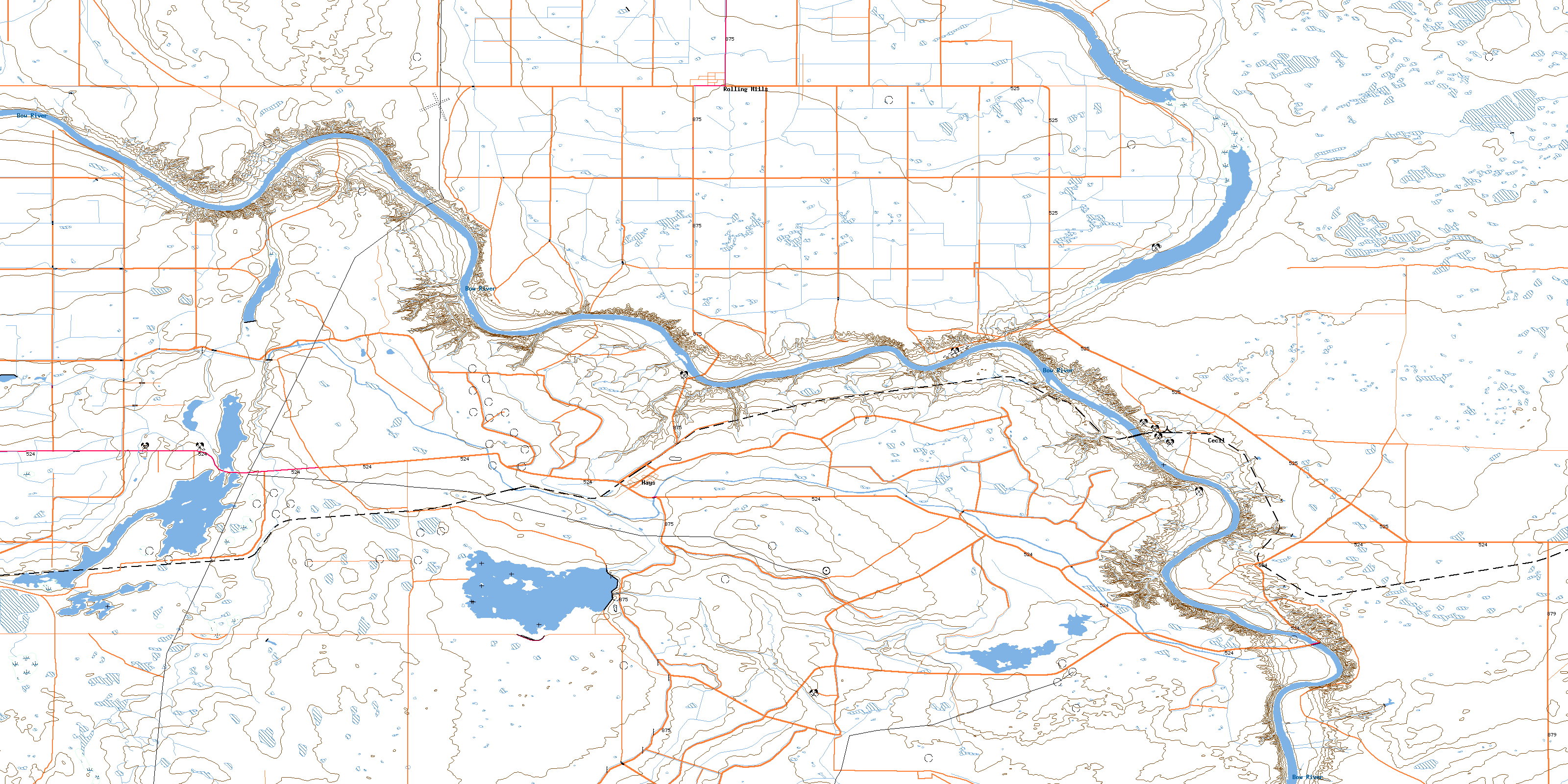
© Department of Natural Resources Canada. All rights reserved.
