Watching Hill Topo Map Online
Download Free Topo Map Sheet 072L07 at 1:50,000 scale
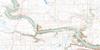
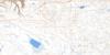
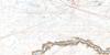
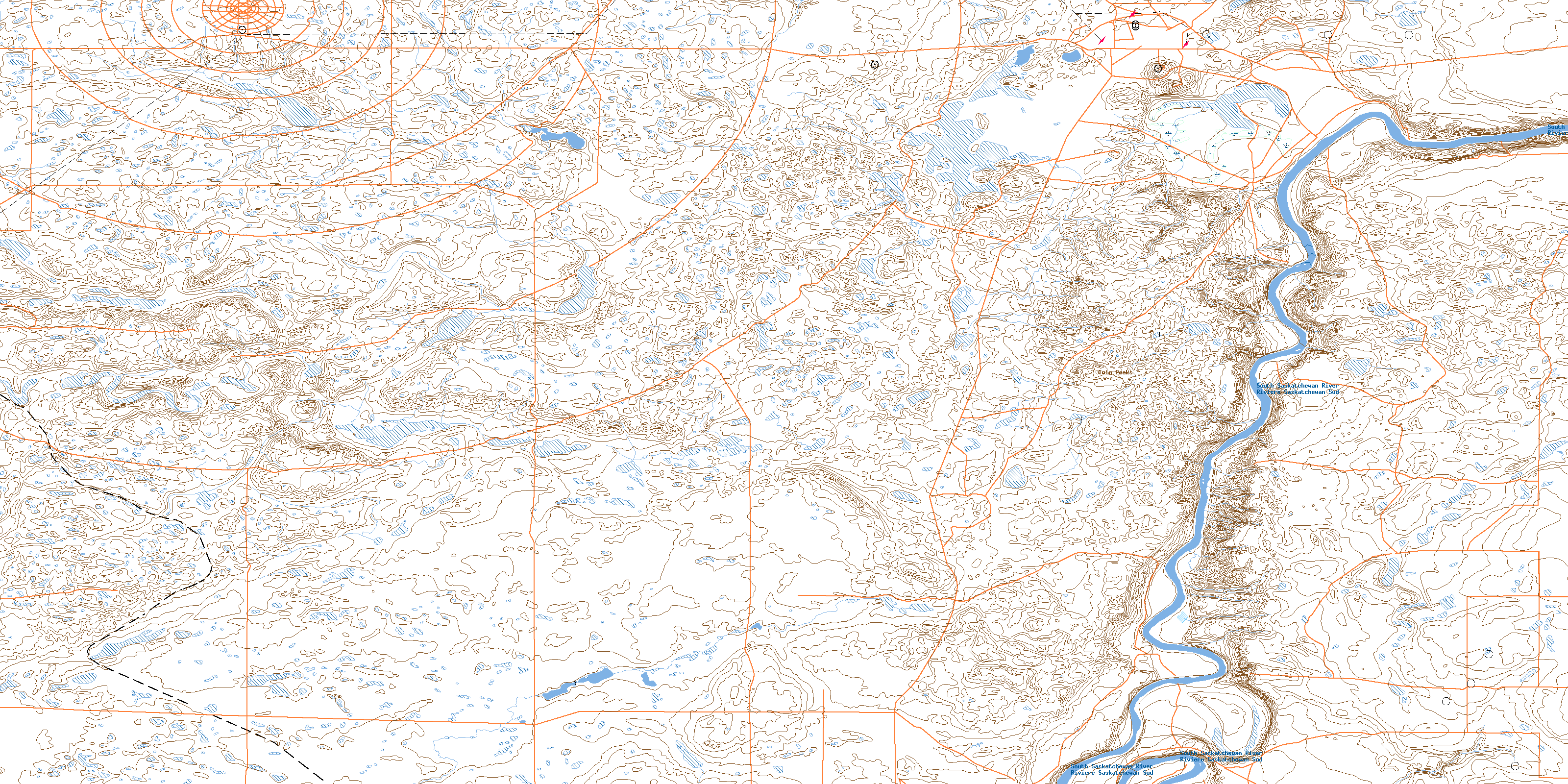
072L07 Watching Hill Topo Map
To view this map, mouse over the map preview on the right.
You can also download this topo map for free:
072L07 Watching Hill high-resolution topo map image.
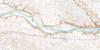
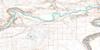
Maps for the Watching Hill topo map sheet 072L07 at 1:50,000 scale are also available in these versions:
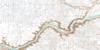
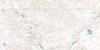
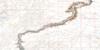
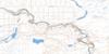
Watching Hill Surrounding Area Topo Maps
 |
 |
 |
 |
 |
 |
 |
 |
 |
 |
 |
 |
 |
 |
 |
 |
© Department of Natural Resources Canada. All rights reserved.
Watching Hill Gazetteer
The following places can be found on topographic map sheet 072L07 Watching Hill:
Watching Hill Topo Map: Beaches
Juniper FlatsWatching Hill Topo Map: Forests
Cottonwood GroveWatching Hill Topo Map: Lakes
Frog PondsWatching Hill Topo Map: Military areas
Base des Forces canadiennes SuffieldCanadian Forces Base Suffield
Champ de manoeuvre Suffield
Suffield Training Area
Watching Hill Topo Map: Mountains
Dubois HillLone Eagle Butte
The Hogsback
Twin Peaks
Watching Hill
Watching Hill Topo Map: Major municipal/district area - major agglomerations
Municipal District of CypressMunicipal District of Cypress No. 1
Watching Hill Topo Map: Plains
Brush FlatsWatching Hill Topo Map: Rivers
Rivière Saskatchewan SudSouth Saskatchewan River
Watching Hill Topo Map: River features
Drowning FordWatching Hill Topo Map: Unincorporated areas
BingvilleWatching Hill Topo Map: Valleys
Deadman GulchStewart Depression
© Department of Natural Resources Canada. All rights reserved.
