Brightsand Lake Topo Map Online
Download Free Topo Map Sheet 073F10 at 1:50,000 scale
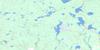
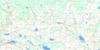
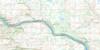
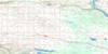
073F10 Brightsand Lake Topo Map
To view this map, mouse over the map preview on the right.
You can also download this topo map for free:
073F10 Brightsand Lake high-resolution topo map image.
Maps for the Brightsand Lake topo map sheet 073F10 at 1:50,000 scale are also available in these versions:
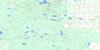
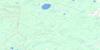
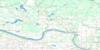
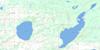
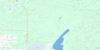
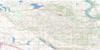
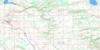
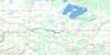
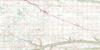
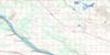
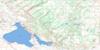
Brightsand Lake Surrounding Area Topo Maps
 |
 |
 |
 |
 |
 |
 |
 |
 |
 |
 |
 |
 |
 |
 |
 |
© Department of Natural Resources Canada. All rights reserved.
Brightsand Lake Gazetteer
The following places can be found on topographic map sheet 073F10 Brightsand Lake:
Brightsand Lake Topo Map: Hamlets
Blatz-NolinCrystal Bay-Sunset
Evergreen Acres
Evergreen Brightsand
Horseshoe Bay
Indian Point - Golden Sands
Kivimaa's Moonlight Bay
Kopp's Kove
Parkland Beach
Powm Beach
Sunset View Beach
Turtle Lake South Bay
Brightsand Lake Topo Map: Indian Reserves
New Thunderchild Indian Reserve 115BNew Thunderchild Indian Reserve 115C
Réserve indienne New Thunderchild 115B
Réserve indienne New Thunderchild 115C
Thunderchild 115K
Thunderchild First Nation 115B
Thunderchild First Nation 115C
Thunderchild First Nation 115J
Thunderchild First Nation 115Q
Thunderchild First Nation 115U
Thunderchild First Nation 115V
Brightsand Lake Topo Map: Islands
Eyinatik IslandBrightsand Lake Topo Map: Lakes
Brightsand LakeHead Lake
Horsehead Lake
Horseneck Lake
Mikinak Lake
Miller Lake
Nadon Lake
Stony Lake
Turtle Lake
Brightsand Lake Topo Map: Other municipal/district area - miscellaneous
Greenfield No. 529Meadow Lake No. 588
Mervin No. 499
Parkdale No. 498
Brightsand Lake Topo Map: Conservation areas
Bright Sand Regional ParkBrightsand Lake Regional Park
Brightsand Regional Park
Northern Provincial Forest
Turtle Lake Recreation Site
Brightsand Lake Topo Map: Rivers
Brightsand CreekDewan Creek
Horsehead Creek
Turtlelake River
Brightsand Lake Topo Map: Unincorporated areas
Aspen CoveBright Sand
Cuffley
Elmhurst
Turtle Beach
Brightsand Lake Topo Map: Villages
Kivimaa-Moonlight Bay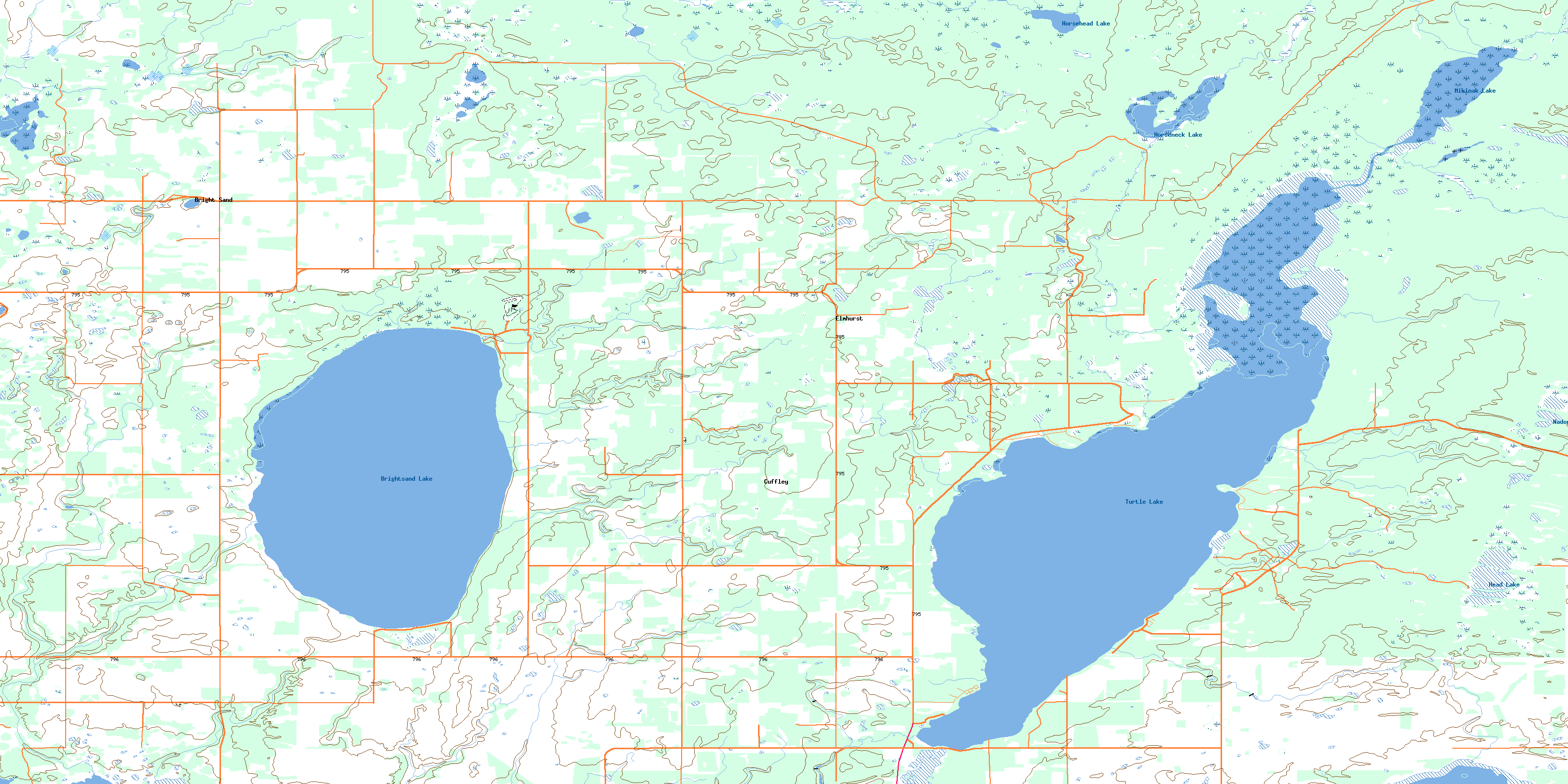
© Department of Natural Resources Canada. All rights reserved.
073F Related Maps:
073F St Walburg073F01 Jackfish Lake
073F02 Edam
073F03 Maidstone
073F04 Lashburn
073F05 Greenstreet
073F06 Cleeves
073F07 Turtleford
073F08 Medstead
073F09 Helene Lake
073F10 Brightsand Lake
073F11 St Walburg
073F12 Frenchman Butte
073F13 Bronson Lake
073F14 Barthel
073F15 Horsehead Creek
073F16 Hunting Lake
