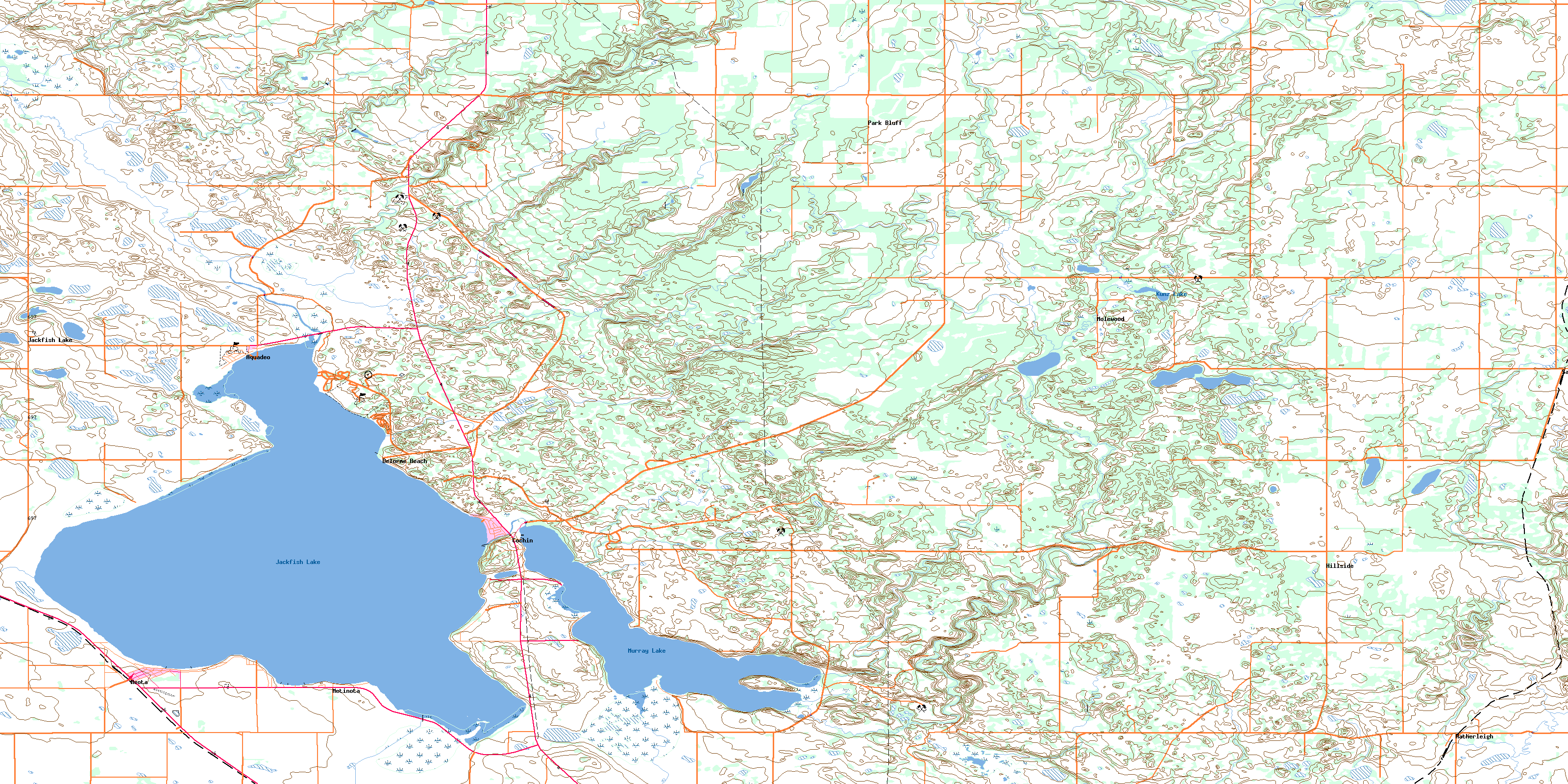
Jackfish Lake Topo Map Online
Download Free Topo Map Sheet 073F01 at 1:50,000 scale
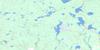
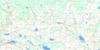
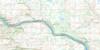
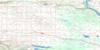
073F01 Jackfish Lake Topo Map
To view this map, mouse over the map preview on the right.
You can also download this topo map for free:
073F01 Jackfish Lake high-resolution topo map image.
Maps for the Jackfish Lake topo map sheet 073F01 at 1:50,000 scale are also available in these versions:
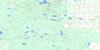
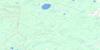
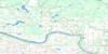
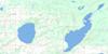
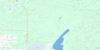
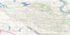
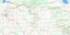
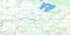
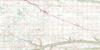
Jackfish Lake Surrounding Area Topo Maps
 |
 |
 |
 |
 |
 |
 |
 |
 |
 |
 |
 |
 |
 |
 |
 |
© Department of Natural Resources Canada. All rights reserved.
Jackfish Lake Gazetteer
The following places can be found on topographic map sheet 073F01 Jackfish Lake:
Jackfish Lake Topo Map: Bays
Robinson BayWeyapanase Bay
Jackfish Lake Topo Map: Beaches
Delorme BeachJackfish Lake Topo Map: Hamlets
Aquadeo BeachBayview Heights
Day's Beach
East Chatfield Beach
Lakeview
Lanz Point
Martinson's Beach
Maymont Beach
Pelican Point
Sleepy Hollow
Summerfield Beach
Trevessa Beach
West Chatfield Beach
Jackfish Lake Topo Map: Indian Reserves
Moosomin 112BMoosomin 112G
Moosomin 112H
Saulteaux 159
Saulteaux 159AA
Saulteaux 159D
Saulteaux 159DD
Saulteaux 159E
Saulteaux 159F
Saulteaux 159H
Saulteaux 159I
Saulteaux 159M
Saulteaux 159O
Saulteaux 159P
Saulteaux 159Q
Saulteaux 159R
Saulteaux First Nation 159HH
Saulteaux First Nation 159JJ
Saulteaux First Nation 159W
Saulteaux First Nation 159Z
Jackfish Lake Topo Map: Islands
Tucker IslandJackfish Lake Topo Map: Lakes
Jackfish LakeKunz Lake
Murray Lake
Jackfish Lake Topo Map: Other municipal/district area - miscellaneous
Medstead No. 497Meota No. 468
Parkdale No. 498
Round Hill No. 467
Jackfish Lake Topo Map: Conservation areas
Meota Regional ParkMurray Lake Bird Sanctuary
Refuge d'oiseaux du lac Murray
The Battlefords Provincial Park
Jackfish Lake Topo Map: Rivers
Charette CreekCrystal Creek
Jackfish Creek
Jackfish River
Lehman Creek
Lost Horse Creek
Losthorse Creek
Jackfish Lake Topo Map: Unincorporated areas
Delorme BeachHatherleigh
Hillside
Jackfish Lake
Marlin
Molewood
Park Bluff
Sandwith
Jackfish Lake Topo Map: Valleys
Moosomina CouleeJackfish Lake Topo Map: Villages
AquadeoCochin
Meota
Metinota
© Department of Natural Resources Canada. All rights reserved.
073F Related Maps:
073F St Walburg073F01 Jackfish Lake
073F02 Edam
073F03 Maidstone
073F04 Lashburn
073F05 Greenstreet
073F06 Cleeves
073F07 Turtleford
073F08 Medstead
073F09 Helene Lake
073F10 Brightsand Lake
073F11 St Walburg
073F12 Frenchman Butte
073F13 Bronson Lake
073F14 Barthel
073F15 Horsehead Creek
073F16 Hunting Lake
