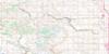
Lake Minnewanka Topo Map Online
Download Free Topo Map Sheet 082O06 at 1:50,000 scale
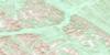
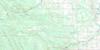
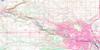
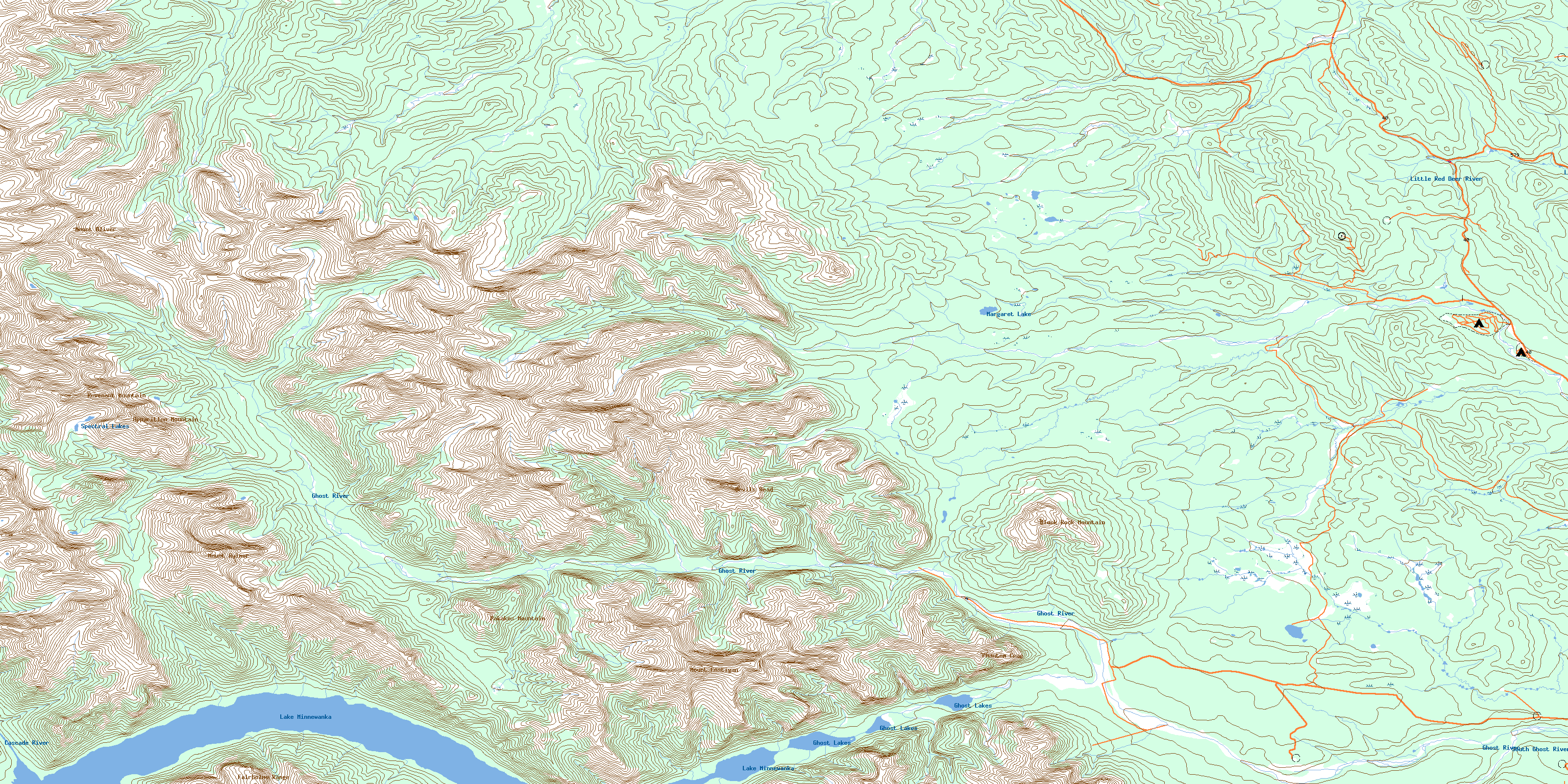
082O06 Lake Minnewanka Topo Map
To view this map, mouse over the map preview on the right.
You can also download this topo map for free:
082O06 Lake Minnewanka high-resolution topo map image.
Maps for the Lake Minnewanka topo map sheet 082O06 at 1:50,000 scale are also available in these versions:
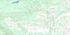
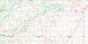
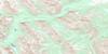
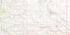
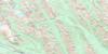
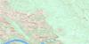
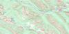
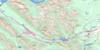
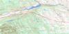
Lake Minnewanka Surrounding Area Topo Maps
 |
 |
 |
 |
 |
 |
 |
 |
 |
 |
 |
 |
 |
 |
 |
 |
© Department of Natural Resources Canada. All rights reserved.
Lake Minnewanka Gazetteer
The following places can be found on topographic map sheet 082O06 Lake Minnewanka:
Lake Minnewanka Topo Map: Indian Reserves
Réserve indienne Stony 142-143-144Stoney 142-143-144
Stony Indian Reserve 142-143-144
Lake Minnewanka Topo Map: Lakes
Ghost LakesLake Minnewanka
Margaret Lake
Spectral Lakes
Lake Minnewanka Topo Map: Mountains
Apparition MountainBlack Rock Mountain
Devils Head
Fairholme Range
Mount Aylmer
Mount Costigan
Mount Davidson
Mount Oliver
Pakakos Mountain
Palliser Range
Phantom Crag
Revenant Mountain
Rocky Mountain Foothills
Lake Minnewanka Topo Map: Major municipal/district area - major agglomerations
Municipal District of Bighorn No. 8Lake Minnewanka Topo Map: Other municipal/district area - miscellaneous
Improvement District No. 9Lake Minnewanka Topo Map: Conservation areas
Banff National Park of CanadaGhost River Wilderness Area
Parc national du Canada Banff
Lake Minnewanka Topo Map: Rivers
Burnt Timber CreekCascade River
Fallentimber Creek
Ghost River
Johnson Creek
Lesueur Creek
Little Red Deer River
Lost Knife Creek
Meadow Creek
North Burnt Timber Creek
Nuisance Creek
Pinto Creek
Pretty Place Creek
Sawback Creek
South Ghost River
Spectral Creek
Waiparous Creek
Lake Minnewanka Topo Map: Unincorporated areas
MinnewankaLake Minnewanka Topo Map: Valleys
Aylmer CanyonAylmer Pass
Devils Gap
© Department of Natural Resources Canada. All rights reserved.
082O Related Maps:
082O Calgary082O01 Calgary
082O02 Jumpingpound Creek
082O03 Canmore
082O04 Banff
082O05 Castle Mountain
082O06 Lake Minnewanka
082O07 Wildcat Hills
082O08 Crossfield
082O09 Didsbury
082O10 Fallentimber
082O11 Burnt Timber Creek
082O12 Barrier Mountain
082O13 Forbidden Creek
082O14 Limestone Mountain
082O15 Sundre
082O16 Olds
