Crossfield Topo Map Online
Download Free Topo Map Sheet 082O08 at 1:50,000 scale
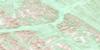
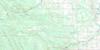
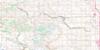
082O08 Crossfield Topo Map
To view this map, mouse over the map preview on the right.
You can also download this topo map for free:
082O08 Crossfield high-resolution topo map image.
Maps for the Crossfield topo map sheet 082O08 at 1:50,000 scale are also available in these versions:
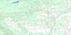
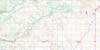
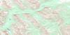
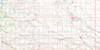
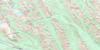
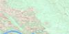
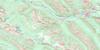
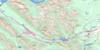
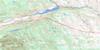
Crossfield Surrounding Area Topo Maps
 |
 |
 |
 |
 |
 |
 |
 |
 |
 |
 |
 |
 |
 |
 |
 |
© Department of Natural Resources Canada. All rights reserved.
Crossfield Gazetteer
The following places can be found on topographic map sheet 082O08 Crossfield:
Crossfield Topo Map: City
AirdrieCrossfield Topo Map: Lakes
Cochrane LakeLochend Lake
Nier Lakes
Crossfield Topo Map: Major municipal/district area - major agglomerations
County of Mountain View No. 17Mountain View County
Municipal District of Rocky View No. 44
Rocky View County
Crossfield Topo Map: Conservation areas
Big Hill Springs Provincial ParkCrossfield Topo Map: Rivers
Beaverdam CreekBeddington Creek
Bighill Creek
Crossfield Creek
Dogpound Creek
Nose Creek
West Nose Creek
Writing Creek
Crossfield Topo Map: Towns
CrossfieldCrossfield Topo Map: Unincorporated areas
BottrelCollicutt
Dogpound
Helmsdale
Lochend
Madden
Nier
Sampsonton
Crossfield Topo Map: Valleys
McPherson Coulee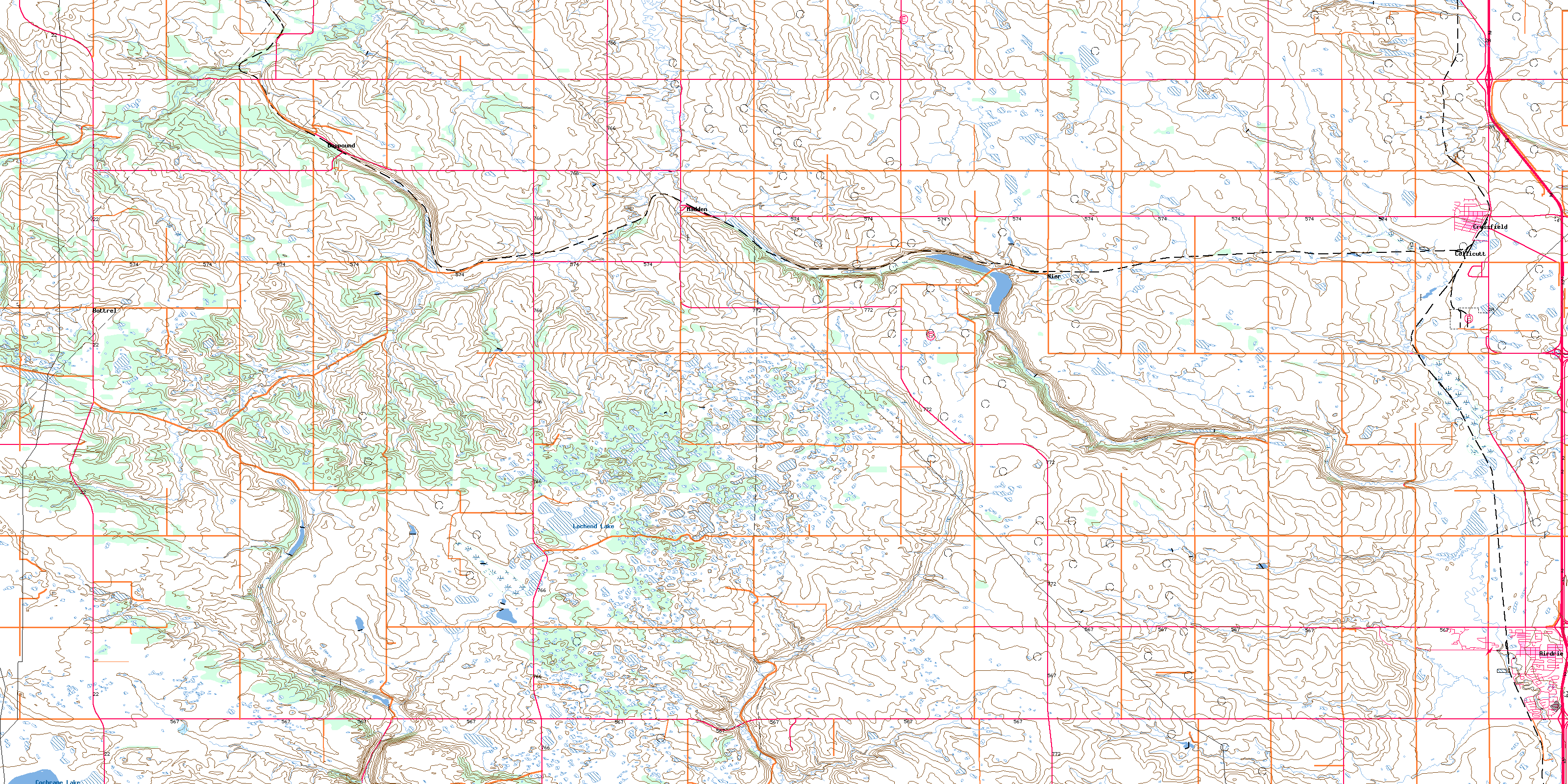
© Department of Natural Resources Canada. All rights reserved.
082O Related Maps:
082O Calgary082O01 Calgary
082O02 Jumpingpound Creek
082O03 Canmore
082O04 Banff
082O05 Castle Mountain
082O06 Lake Minnewanka
082O07 Wildcat Hills
082O08 Crossfield
082O09 Didsbury
082O10 Fallentimber
082O11 Burnt Timber Creek
082O12 Barrier Mountain
082O13 Forbidden Creek
082O14 Limestone Mountain
082O15 Sundre
082O16 Olds
