Nordegg Topo Map Online
Download Free Topo Map Sheet 083C08 at 1:50,000 scale
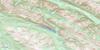
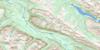
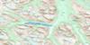
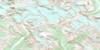
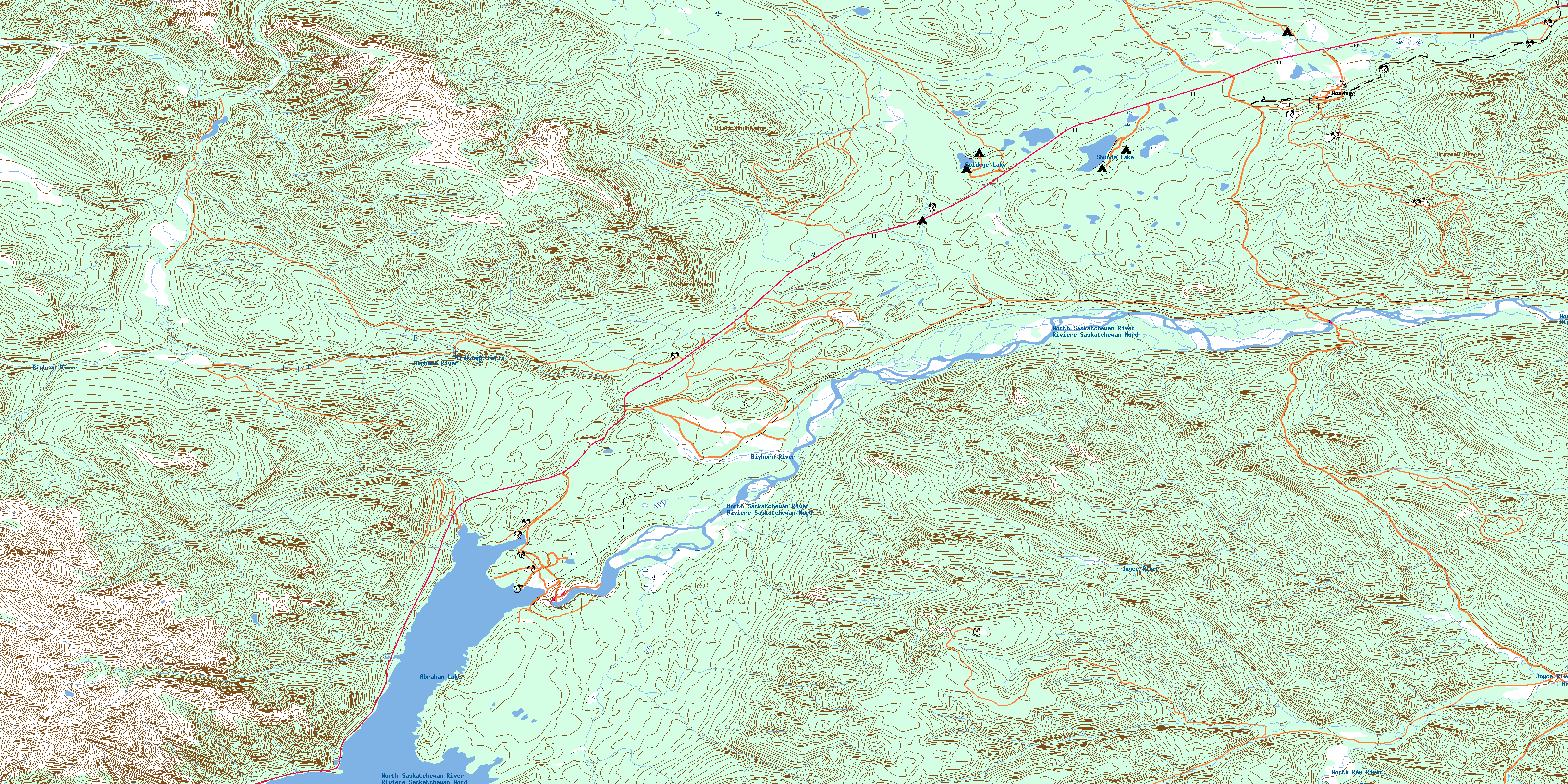
083C08 Nordegg Topo Map
To view this map, mouse over the map preview on the right.
You can also download this topo map for free:
083C08 Nordegg high-resolution topo map image.
Maps for the Nordegg topo map sheet 083C08 at 1:50,000 scale are also available in these versions:
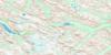
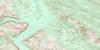
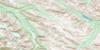
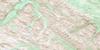
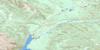
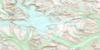
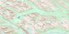
Nordegg Surrounding Area Topo Maps
 |
 |
 |
 |
 |
 |
 |
 |
 |
 |
 |
 |
 |
 |
 |
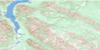 |
© Department of Natural Resources Canada. All rights reserved.
Nordegg Gazetteer
The following places can be found on topographic map sheet 083C08 Nordegg:
Nordegg Topo Map: Capes
Windy PointNordegg Topo Map: Falls
Crescent FallsNordegg Topo Map: Indian Reserves
Big Horn 144ANordegg Topo Map: Lakes
Abraham LakeAllstones Lake
Brazeau Mine Pit
Goldeye Lake
Shanks Lake
Shunda Lake
Nordegg Topo Map: Mountains
Bighorn RangeBlack Mountain
Brazeau Range
First Range
Jackpine Hills
Rocky Mountain Foothills
Nordegg Topo Map: Major municipal/district area - major agglomerations
Clearwater CountyMunicipal District of Clearwater No. 99
Nordegg Topo Map: Rivers
Allstones CreekBighorn River
Black Canyon Creek
Crooked Creek
Dog Creek
Gonika Creek
Haven Creek
Joyce River
Kidd Creek
Kiska Creek
Littlehorn Creek
Martin Creek
North Ram River
North Saskatchewan River
Rivière Saskatchewan Nord
Shankland Creek
Shunda Creek
South Creek
Sturrock Creek
Sunkay Creek
Tepee Creek
Tershishner Creek
Wapiabi Creek
Nordegg Topo Map: Unincorporated areas
BrazeauNordegg
Nordegg Topo Map: Valleys
Bighorn CanyonWapiabi Gap
© Department of Natural Resources Canada. All rights reserved.
083C Related Maps:
083C Brazeau Lake083C01 Whiterabbit Creek
083C02 Cline River
083C03 Columbia Icefield
083C04 Clemenceau Icefield
083C05 Fortress Lake
083C06 Sunwapta Peak
083C07 Job Creek
083C08 Nordegg
083C09 Wapiabi Creek
083C10 George Creek
083C11 Southesk Lake
083C12 Athabasca Falls
083C13 Medicine Lake
083C14 Mountain Park
083C15 Cardinal River
083C16 Blackstone River
