Donald Flats Topo Map Online
Download Free Topo Map Sheet 083E16 at 1:50,000 scale
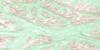
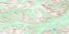
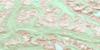
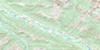
083E16 Donald Flats Topo Map
To view this map, mouse over the map preview on the right.
You can also download this topo map for free:
083E16 Donald Flats high-resolution topo map image.
Maps for the Donald Flats topo map sheet 083E16 at 1:50,000 scale are also available in these versions:
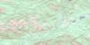
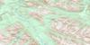
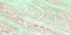
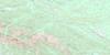
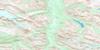
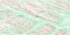
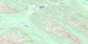
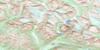
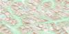
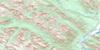
Donald Flats Surrounding Area Topo Maps
 |
 |
 |
 |
 |
 |
 |
 |
 |
 |
 |
 |
 |
 |
 |
 |
© Department of Natural Resources Canada. All rights reserved.
Donald Flats Gazetteer
The following places can be found on topographic map sheet 083E16 Donald Flats:
Donald Flats Topo Map: Lakes
Donald LakeJoachim Lakes
Donald Flats Topo Map: Mountains
Rocky Mountain FoothillsDonald Flats Topo Map: Major municipal/district area - major agglomerations
Municipal District of Greenview No. 16Municipal District of Yellowhead No. 94
Yellowhead County
Donald Flats Topo Map: Other municipal/district area - miscellaneous
Improvement District No. 25Yellowhead Improvement District No. 14
Donald Flats Topo Map: Conservation areas
Willmore Wilderness Provincial ParkDonald Flats Topo Map: Plains
Donald FlatsDonald Flats Topo Map: Rivers
Berland RiverBig Creek
Cabin Creek
Colt Creek
David Creek
Gauthier Creek
Hendrickson Creek
Horse Creek
Joachim Creek
Kiskiu Creek
Little Smoky River
Lone Teepee Creek
Olson Creek
Packrat Creek
Pasture Creek
Plante Creek
Rocky Creek
Smith Creek
South Cabin Creek
Tom Creek
Vogel Creek
Donald Flats Topo Map: Road features
Berland River TrailCabin Creek Trail
Little Smoky
Polecat
Donald Flats Topo Map: Unincorporated areas
Hoff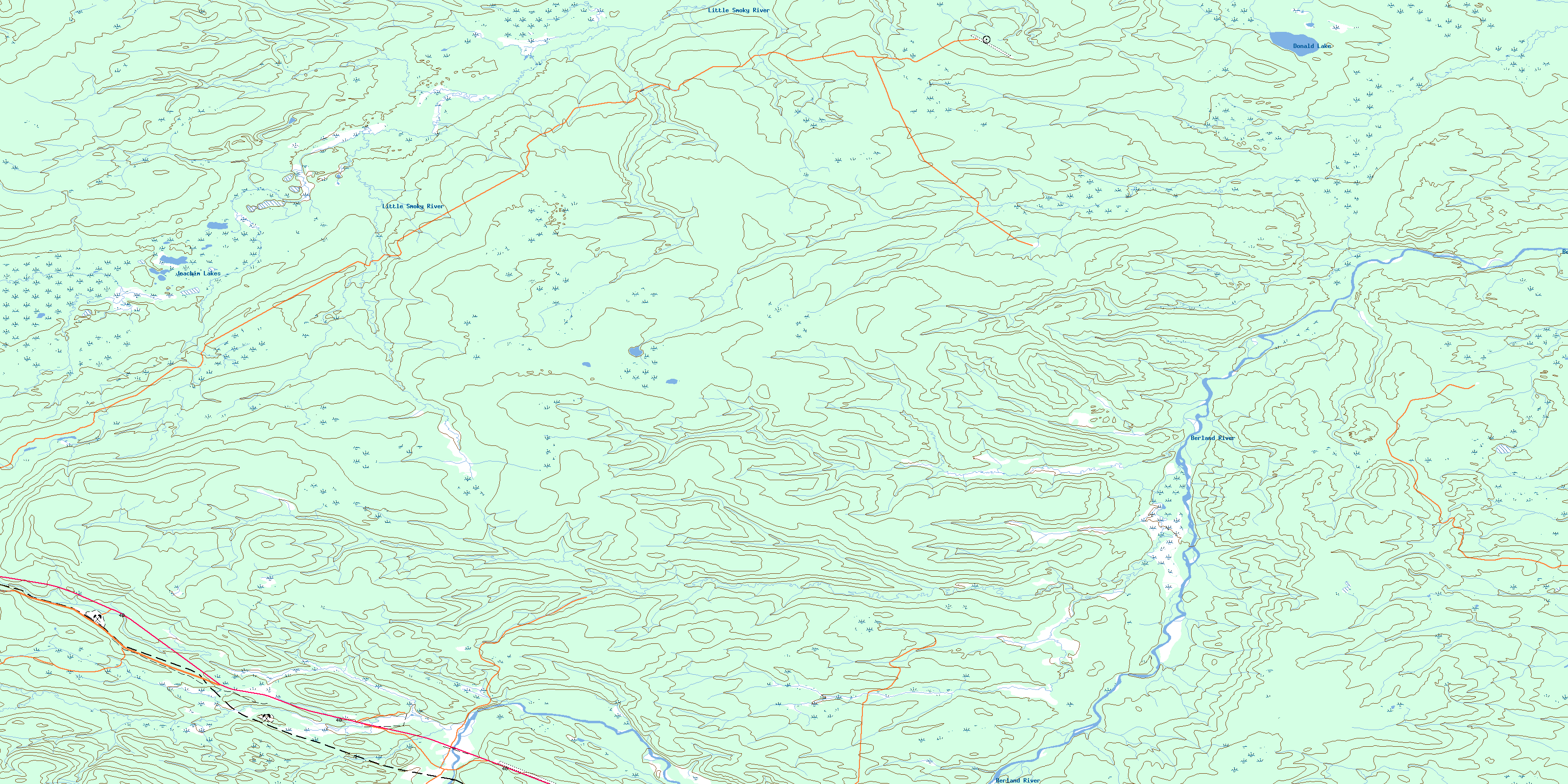
© Department of Natural Resources Canada. All rights reserved.
083E Related Maps:
083E Mount Robson083E01 Snaring River
083E02 Resplendent Creek
083E03 Mount Robson
083E04 Croyden
083E05 Chalco Mountain
083E06 Twintree Lake
083E07 Blue Creek
083E08 Rock Lake
083E09 Moberly Creek
083E10 Adams Lookout
083E11 Hardscrabble Creek
083E12 Pauline Creek
083E13 Dry Canyon
083E14 Grande Cache
083E15 Pierre Greys Lakes
083E16 Donald Flats
