Grande Cache Topo Map Online
Download Free Topo Map Sheet 083E14 at 1:50,000 scale
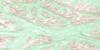
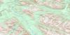
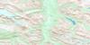
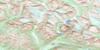
083E14 Grande Cache Topo Map
To view this map, mouse over the map preview on the right.
You can also download this topo map for free:
083E14 Grande Cache high-resolution topo map image.
Maps for the Grande Cache topo map sheet 083E14 at 1:50,000 scale are also available in these versions:
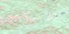
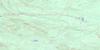
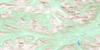
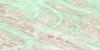
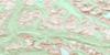
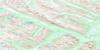
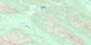
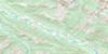
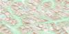
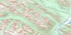
Grande Cache Surrounding Area Topo Maps
 |
 |
 |
 |
 |
 |
 |
 |
 |
 |
 |
 |
 |
 |
 |
 |
© Department of Natural Resources Canada. All rights reserved.
Grande Cache Gazetteer
The following places can be found on topographic map sheet 083E14 Grande Cache:
Grande Cache Topo Map: Beaches
Kvass FlatsGrande Cache Topo Map: Cliffs
Goat CliffsGrande Cache Topo Map: Lakes
Grande Cache LakeLake Fallow
Peavine Lake
Victor Lake
Grande Cache Topo Map: Mountains
Ambler MountainFlood Mountain
Grande Mountain
Hayden Ridge
Knife Mountain
Llama Mountain
Mount Braithwaite
Mount Hamell
Mount Louie
Mount Mawdsley
Mount McQueen
Mount Russell
Mount Stearn
Rocky Mountain Foothills
Rocky Mountains
Syncline Hills
Turret Ridge
Grande Cache Topo Map: Major municipal/district area - major agglomerations
Municipal District of Greenview No. 16Grande Cache Topo Map: Other municipal/district area - miscellaneous
Improvement District No. 25Yellowhead Improvement District No. 14
Grande Cache Topo Map: Conservation areas
Willmore Wilderness Provincial ParkGrande Cache Topo Map: Plains
Gustavs FlatsLlama Flats
Grande Cache Topo Map: Rapids
Hells Creek RapidsGrande Cache Topo Map: Rivers
Adolphus CreekAlbertine Creek
Allen Creek
Bergamot Creek
Bloodroot Creek
Calypso Creek
Carconte Creek
Corral Creek
Corydalis Creek
Cowlick Creek
Davey Creek
Delorme Creek
Eaton Creek
Faulk Creek
Flood Creek
Franks Creek
Gentian Creek
Goldenrod Creek
Gustavs Creek
Haight Creek
Hells Creek
Henrietta Creek
Horn Creek
Joachim Creek
Larkspur Creek
Lawrence Creek
Llama Creek
Malcolm Creek
Mitayimin Creek
Muddywater River
Muskeg River
Neighbor Creek
Nickerson Creek
Pearl Creek
Roddy Creek
Rufus Creek
Sheep Creek
Smoky River
Sulphur River
Swift Creek
Two Cabin Creek
Washy Creek
Wolverine Creek
Grande Cache Topo Map: River features
Clarks CrossingGrande Cache Ford
Sulphur Gates
Grande Cache Topo Map: Road features
Deer Creek TrailDry Canyon Trail
Eagles Nest Trail
Grave Flats Trail
Gustavs Flats Trail
Horn Creek Trail
Kvass Creek Trail
Mountain Trail
Sheep Creek Trail
Smoky Trail
Grande Cache Topo Map: Towns
Grande CacheGrande Cache Topo Map: Unincorporated areas
ThordarsonWinniandy
Grande Cache Topo Map: Valleys
Grande Cache Valley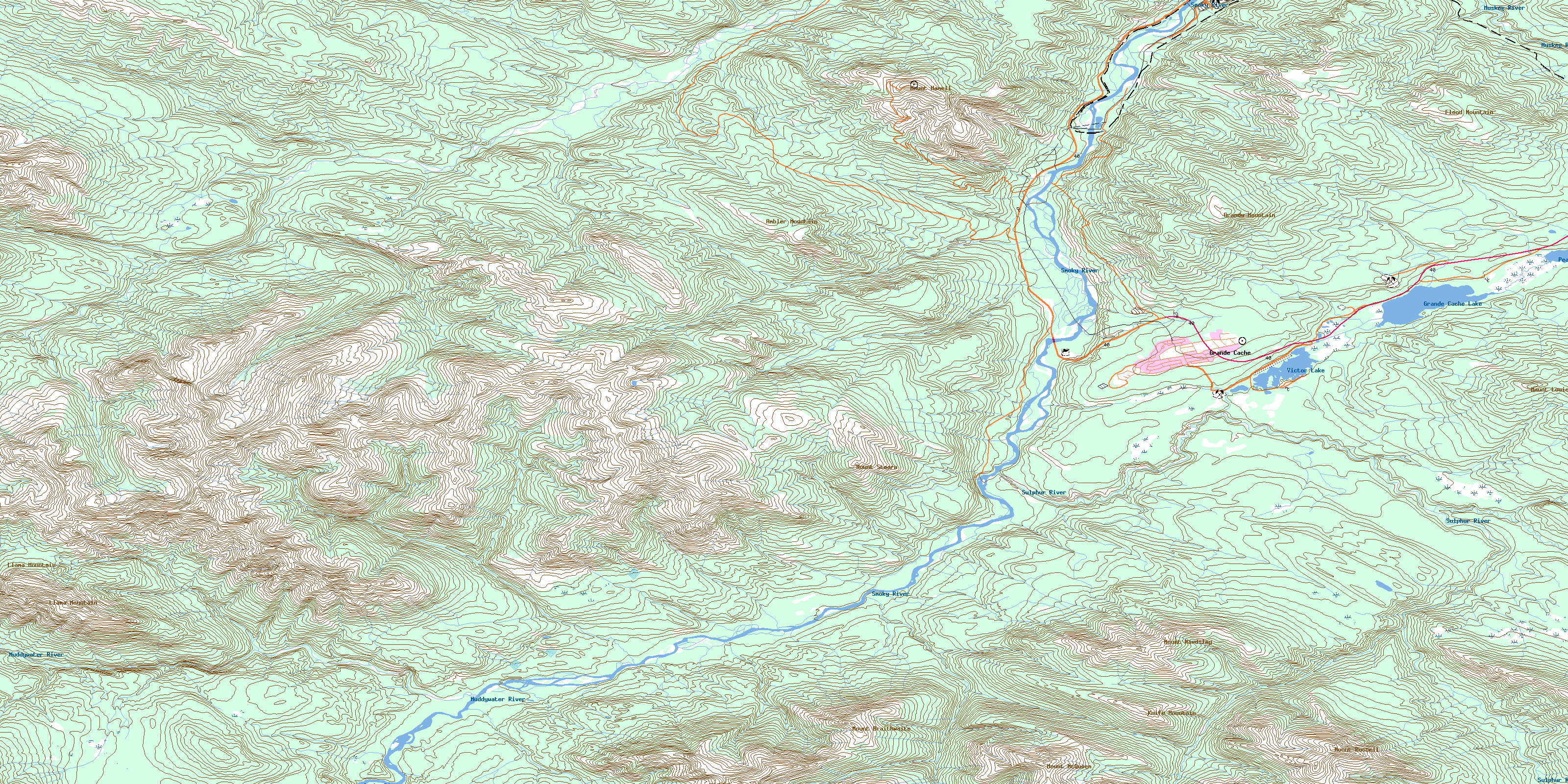
© Department of Natural Resources Canada. All rights reserved.
083E Related Maps:
083E Mount Robson083E01 Snaring River
083E02 Resplendent Creek
083E03 Mount Robson
083E04 Croyden
083E05 Chalco Mountain
083E06 Twintree Lake
083E07 Blue Creek
083E08 Rock Lake
083E09 Moberly Creek
083E10 Adams Lookout
083E11 Hardscrabble Creek
083E12 Pauline Creek
083E13 Dry Canyon
083E14 Grande Cache
083E15 Pierre Greys Lakes
083E16 Donald Flats
