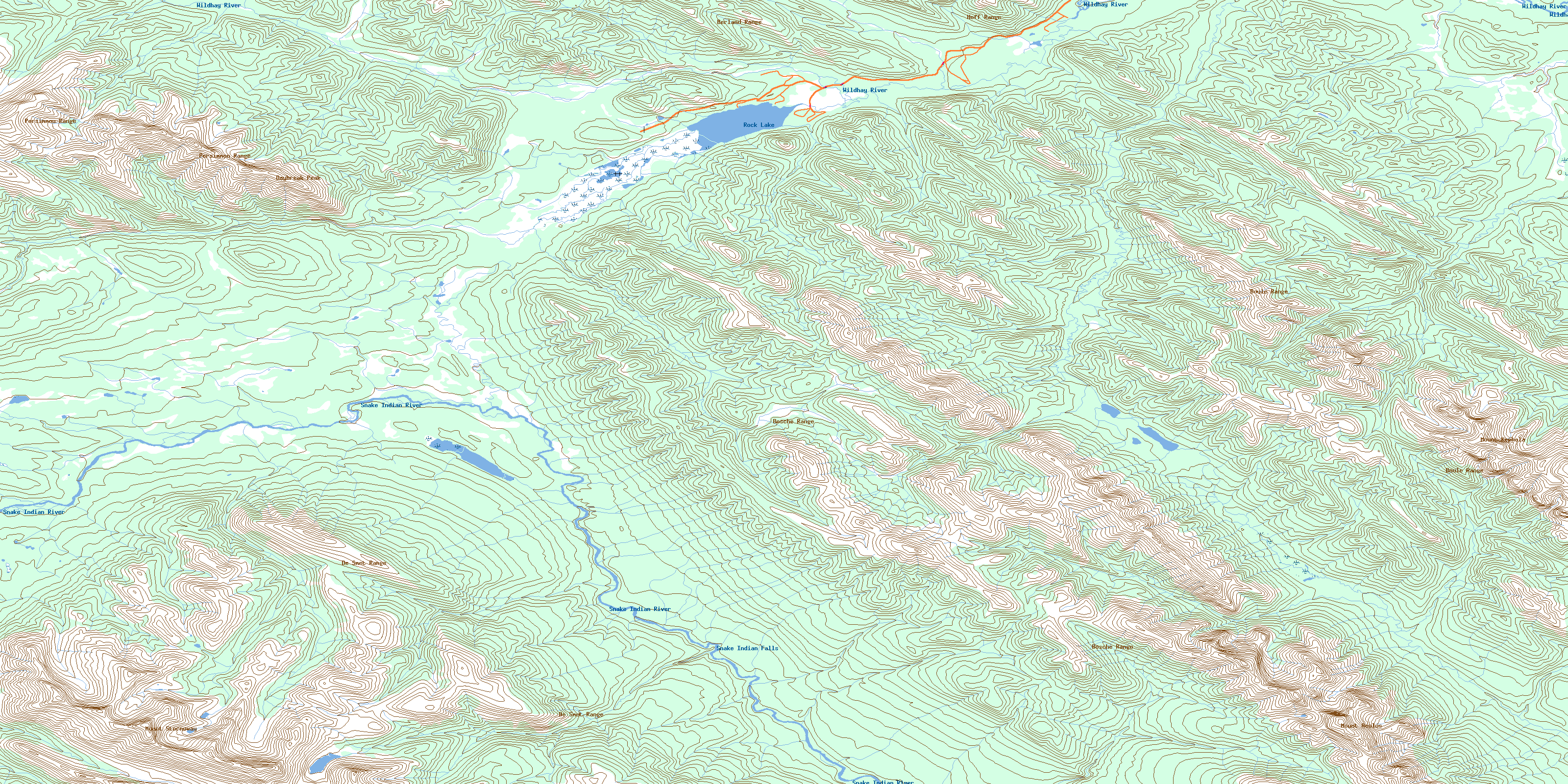
Rock Lake Topo Map Online
Download Free Topo Map Sheet 083E08 at 1:50,000 scale
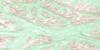
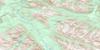
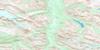
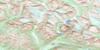
083E08 Rock Lake Topo Map
To view this map, mouse over the map preview on the right.
You can also download this topo map for free:
083E08 Rock Lake high-resolution topo map image.
Maps for the Rock Lake topo map sheet 083E08 at 1:50,000 scale are also available in these versions:
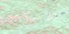
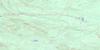
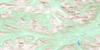
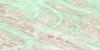
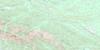
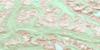
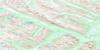
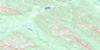
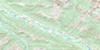
Rock Lake Surrounding Area Topo Maps
 |
 |
 |
 |
 |
 |
 |
 |
 |
 |
 |
 |
 |
 |
 |
 |
© Department of Natural Resources Canada. All rights reserved.
Rock Lake Gazetteer
The following places can be found on topographic map sheet 083E08 Rock Lake:
Rock Lake Topo Map: Falls
Snake Indian FallsRock Lake Topo Map: Lakes
Busby LakeMoosehorn Lake
Rock Lake
Rock Lake Topo Map: Mountains
Aeolus MountainBerland Range
Bosche Range
Boule Range
Daybreak Peak
De Smet Range
Hoff Range
Hoff Ridge
Mount Aeolus
Mount Kephala
Mount Stornoway
Persimmon Range
Rocky Mountain Foothills
Rocky Mountains
Rock Lake Topo Map: Major municipal/district area - major agglomerations
Municipal District of Yellowhead No. 94Yellowhead County
Rock Lake Topo Map: Other municipal/district area - miscellaneous
Improvement District No. 12Improvement District No. 25
Yellowhead Improvement District No. 14
Rock Lake Topo Map: Conservation areas
Jasper National Park of CanadaParc national du Canada Jasper
Rock Lake Provincial Park
Willmore Wilderness Provincial Park
Rock Lake Topo Map: Rivers
Carson CreekDeer Creek
Forty-one Mile Creek
Girvan Creek
Ice Water Creek
Jackson Creek
Kephala Creek
Levi Creek
Moosehorn Creek
Mowitch Creek
Mumm Creek
Rock Creek
Seep Creek
Sheba Creek
Snake Indian River
Solomon Creek
Wildhay River
Willow Creek
Rock Lake Topo Map: Road features
Deer Creek TrailEagles Nest Trail
Grave Flats Trail
Moosehorn Trail
Mountain Trail
Mumm Creek Trail
© Department of Natural Resources Canada. All rights reserved.
083E Related Maps:
083E Mount Robson083E01 Snaring River
083E02 Resplendent Creek
083E03 Mount Robson
083E04 Croyden
083E05 Chalco Mountain
083E06 Twintree Lake
083E07 Blue Creek
083E08 Rock Lake
083E09 Moberly Creek
083E10 Adams Lookout
083E11 Hardscrabble Creek
083E12 Pauline Creek
083E13 Dry Canyon
083E14 Grande Cache
083E15 Pierre Greys Lakes
083E16 Donald Flats
