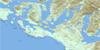
Great Central Lake Topo Map Online
Download Free Topo Map Sheet 092F06 at 1:50,000 scale
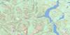
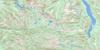
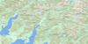
092F06 Great Central Lake Topo Map
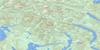
To view this map, mouse over the map preview on the right.
You can also download this topo map for free:
092F06 Great Central Lake high-resolution topo map image.
Maps for the Great Central Lake topo map sheet 092F06 at 1:50,000 scale are also available in these versions:
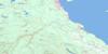
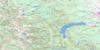
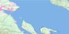
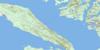
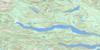
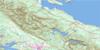
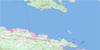
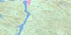
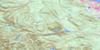
Great Central Lake Surrounding Area Topo Maps
 |
 |
 |
 |
 |
 |
 |
 |
 |
 |
 |
 |
 |
 |
 |
 |
© Department of Natural Resources Canada. All rights reserved.
Great Central Lake Gazetteer
The following places can be found on topographic map sheet 092F06 Great Central Lake:
Great Central Lake Topo Map: Bays
Taylor ArmTwo Rivers Arm
Great Central Lake Topo Map: Capes
Clark PointGreat Central Lake Topo Map: Islands
Beauty IslandGreat Central Lake Topo Map: Lakes
Ash LakeBrigade Lake
Castle Lake
Dickson Lake
Doran Lake
Elsie Lake
Great Central Lake
Green Lake
Helen Lake
Homasum Lake
June Lake
Junior Lake
Lake Rosemarie
Lois Lake
Lowry Lake
Margaret Lake
McBride Lake
McLaughlin Lake
Mercs Lake
Moran Lake
Nimnim Lake
Norgar Lake
Oshinow Lake
Patterson Lake
Pear Lake
Puntledge Lake
Round Lake
Sproat Lake
Toy Lake
Turnbull Lake
View Lake
Great Central Lake Topo Map: Mountains
Beaufort RangeKlitsa Mountain
Maitland Range
Misthorn
Mount Bueby
Mount Gibson
Mount Henry Spencer
Mount Porter
Pogo Mountain
Thunder Mountain
Vancouver Island Mountains
Vancouver Island Ranges
Great Central Lake Topo Map: Major municipal/district area - major agglomerations
Regional District of Alberni-ClayoquotGreat Central Lake Topo Map: Conservation areas
Strathcona ParkTaylor Arm Park
Great Central Lake Topo Map: Rivers
Ash RiverBookhout Creek
Clayoquot River
Clutesi Creek
Dorothy Creek
Drinkwater Creek
Forestry Camp Creek
Friesen Creek
Gretchen Creek
Haa-ak-suuk Creek
Katlum Creek
Kennedy River
Lanterman Creek
Margaret Creek
McBride Creek
Price Creek
Puntledge River
Ramsay Creek
Red Pillar Creek
South Sutton Creek
Sutton Creek
Taylor River
Tofino Creek
Wolf Creek
Great Central Lake Topo Map: Unincorporated areas
French CreekGreat Central Lake Topo Map: Valleys
Sutton Pass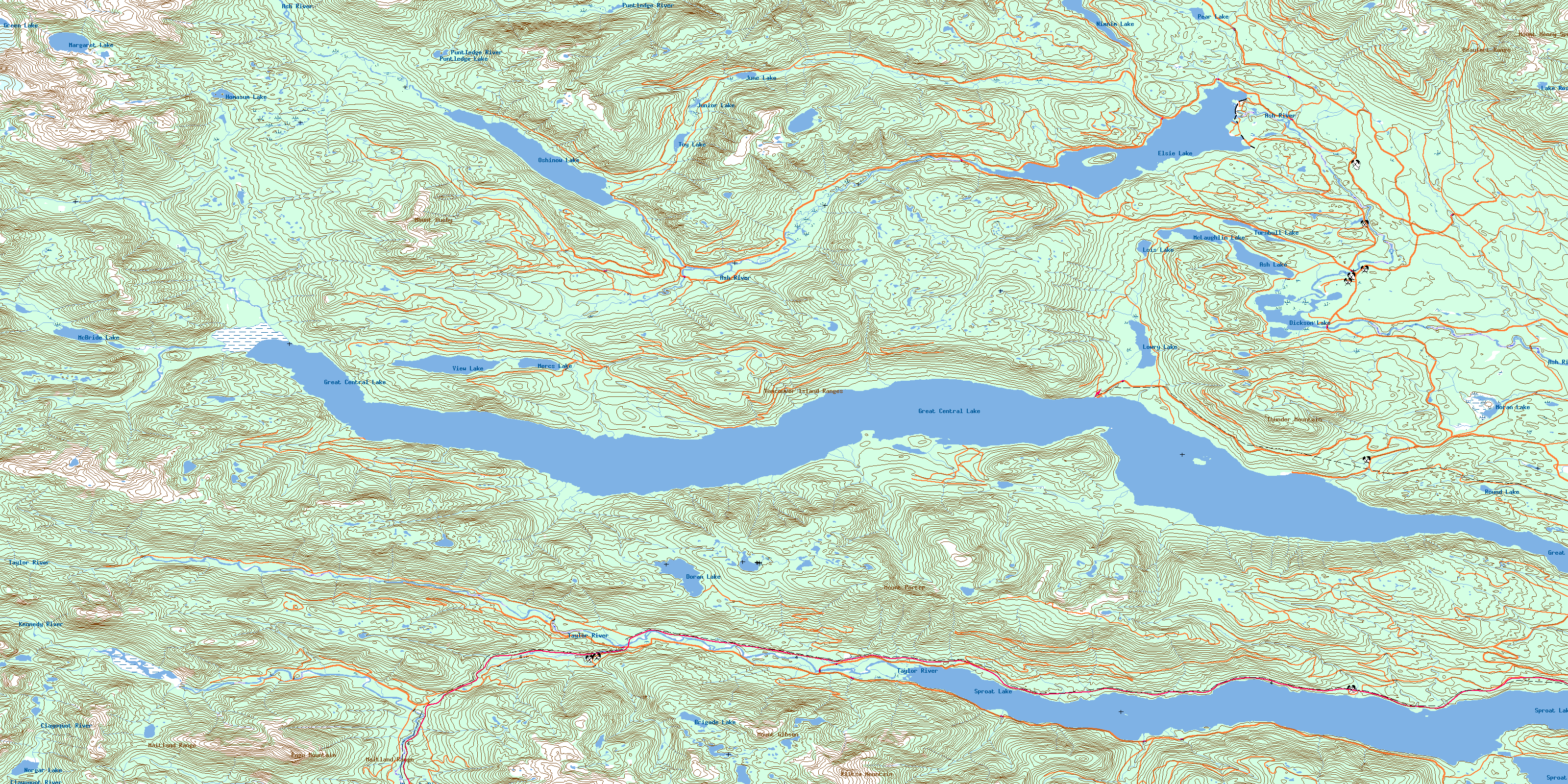
© Department of Natural Resources Canada. All rights reserved.
092F Related Maps:
092F Port Alberni092F01 Nanaimo Lakes
092F02 Alberni Inlet
092F03 Effingham River
092F04 Tofino
092F05 Bedwell River
092F06 Great Central Lake
092F07 Horne Lake
092F08 Parksville
092F09 Texada Island
092F10 Comox
092F11 Forbidden Plateau
092F12 Buttle Lake
092F13 Upper Campbell Lake
092F14 Oyster River
092F15 Powell River
092F16 Haslam Lake
