Booth Islands Topo Map Online
Download Free Topo Map Sheet 097F02 at 1:50,000 scale
097F02 Booth Islands Topo Map
To view this map, mouse over the map preview on the right.
You can also download this topo map for free:
097F02 Booth Islands high-resolution topo map image.
Maps for the Booth Islands topo map sheet 097F02 at 1:50,000 scale are also available in these versions:
Booth Islands Surrounding Area Topo Maps
 |
|||
 |
|||
 |
 |
 |
 |
© Department of Natural Resources Canada. All rights reserved.
Booth Islands Gazetteer
The following places can be found on topographic map sheet 097F02 Booth Islands:
Booth Islands Topo Map: Bays
Amundsen GulfBalaena Bay
Boatswain Bay
Cornwell Bay
Franklin Bay
Gillet Bay
Jim Fiji Harbour
Silas Bay
Summer's Harbour
Booth Islands Topo Map: Capes
Alexander PointCape Buchan
Devon Point
Fort Hearne Point
Parry Peninsula
Booth Islands Topo Map: Islands
Booth IslandBooth Islands
Fiji Island
Rabbit Island
Booth Islands Topo Map: Conservation areas
Cape Parry Bird SanctuaryRefuge d'oiseaux du Cap-Parry
Booth Islands Topo Map: Shoals
Diamond RockBooth Islands Topo Map: Territory
Northwest TerritoriesTerritoires du Nord-Ouest
Booth Islands Topo Map: Unincorporated areas
Cape Parry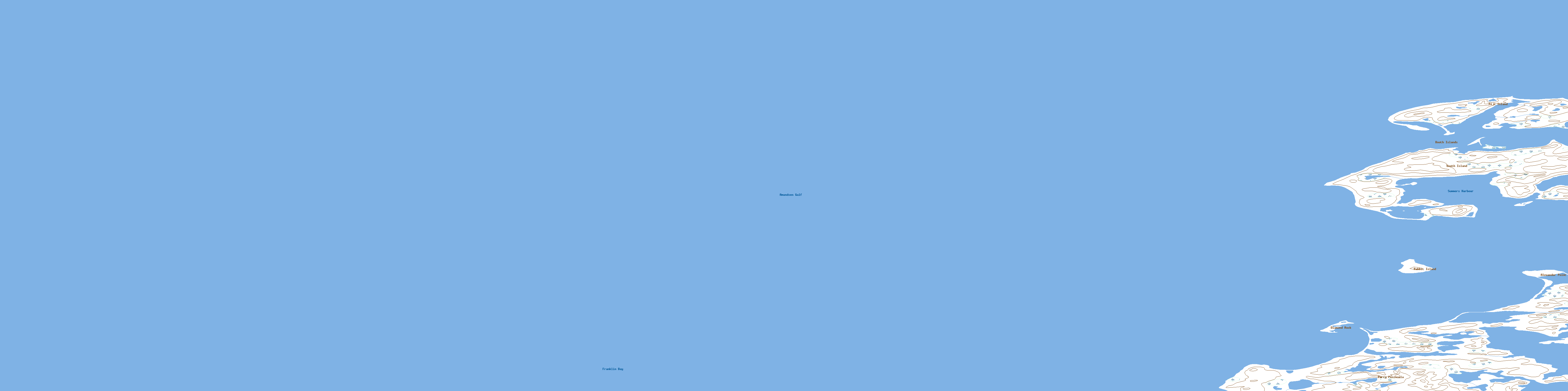
© Department of Natural Resources Canada. All rights reserved.
