Alligator Lake Topo Map Online
Download Free Topo Map Sheet 105D06 at 1:50,000 scale
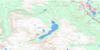
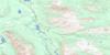
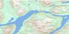
105D06 Alligator Lake Topo Map
To view this map, mouse over the map preview on the right.
You can also download this topo map for free:
105D06 Alligator Lake high-resolution topo map image.
Maps for the Alligator Lake topo map sheet 105D06 at 1:50,000 scale are also available in these versions:
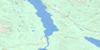
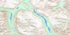
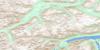
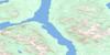
Alligator Lake Surrounding Area Topo Maps
 |
 |
 |
 |
 |
 |
 |
 |
 |
 |
 |
 |
 |
 |
 |
 |
© Department of Natural Resources Canada. All rights reserved.
Alligator Lake Gazetteer
The following places can be found on topographic map sheet 105D06 Alligator Lake:
Alligator Lake Topo Map: Lakes
Alligator LakeCoal Lake
Hodnett Lakes
Alligator Lake Topo Map: Mountains
Alligator MountainBeresford Hill
Boundary Ranges
Bush Mountain
Chaîne Côtière
Coal Ridge
Coast Mountains
Double Mountain
Follé Mountain
Goat Mountain
Gold Hill
Idaho Hill
Lakeview Mountain
Mineral Hill
Mount Follé
Mount Hodnett
Mount Perkins
Mount Wheaton
Mule Hill
Perkins Peak
Ptarmigan Hill
Pugh Peak
Red Ridge
Twin Mountain
Vesuvius Hill
Alligator Lake Topo Map: Plains
Yukon PlateauAlligator Lake Topo Map: Rivers
Dail CreekDawson Charlie Creek
Dugdale Creek
Friday Creek
Ibex River
Morrison Creek
Perkins Creek
Schnabel Creek
Stevens Creek
Summit Creek
Tally-Ho Creek
Thompson Creek
Towle Creek
Two Horse Creek
Watson River
Wheaton River
Wolf Creek
Alligator Lake Topo Map: Valleys
Summit Creek Pass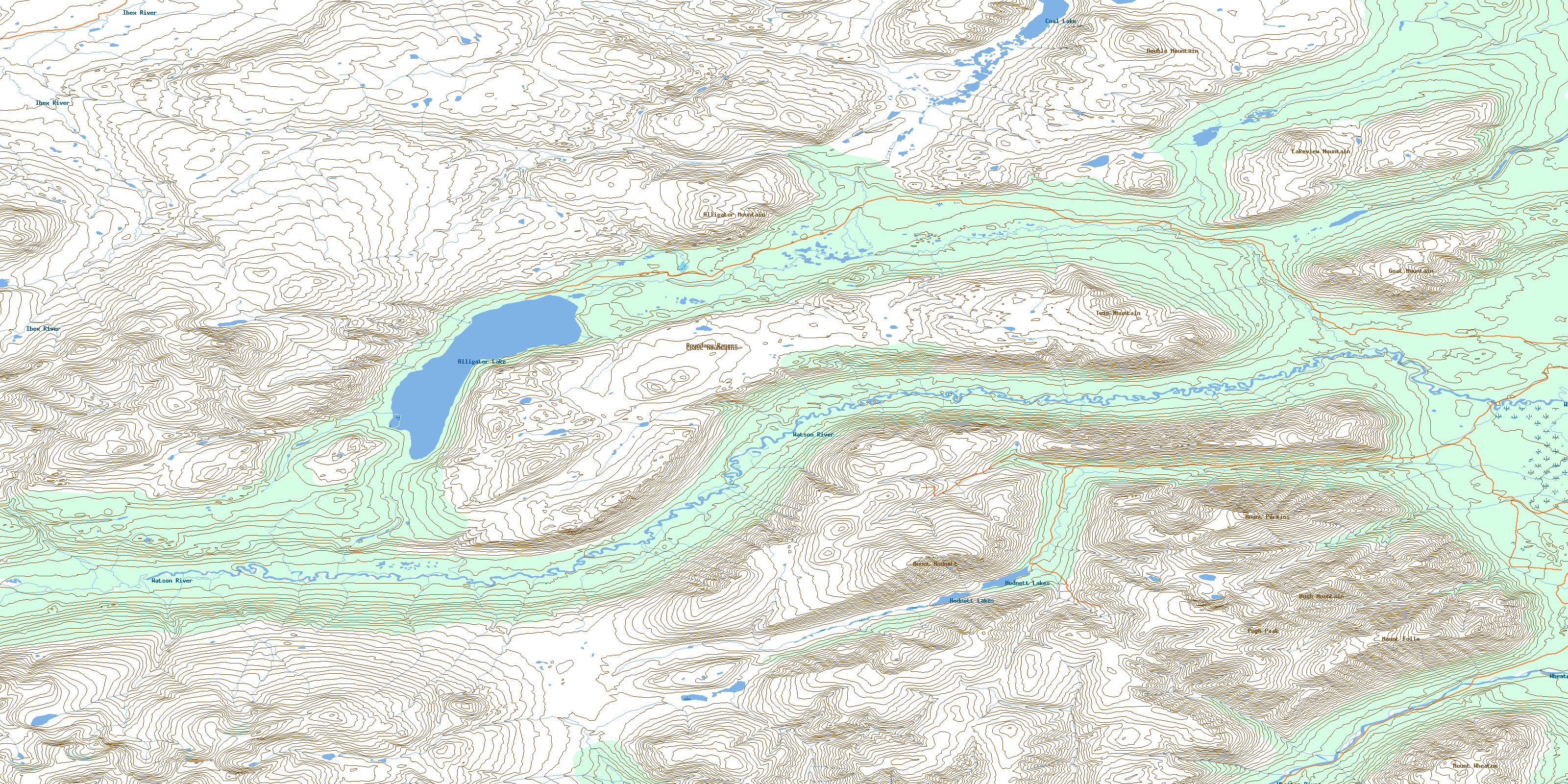
© Department of Natural Resources Canada. All rights reserved.
105D Related Maps:
105D Whitehorse105D01 Jubilee Mountain
105D02 Carcross
105D03 Fenwick Creek
105D04 Takhini Lake
105D05 Rose Lake
105D06 Alligator Lake
105D07 Robinson
105D08 Tagish
105D09 Michie Creek
105D10 Macrae
105D11 Whitehorse
105D12 Mount Arkell
105D13 Thirty Seven Mile Creek
105D14 Upper Laberge
105D15 Joe Mountain
105D16 Mount M'Clintock
