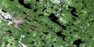
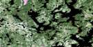
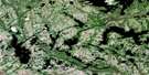
Lac Paimpont Satellite Image Map
Download Free Aerial Photo 012K05 at 1:50,000 scale
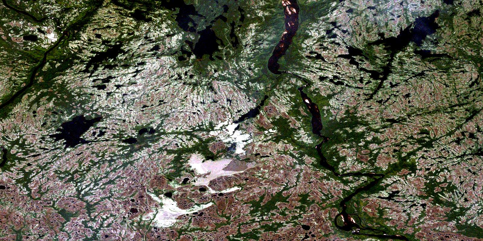
Lac Paimpont Satellite Imagery
To view this satellite map, mouse over the air photo on the right.
You can also download this satellite image map for free:
012K05 Lac Paimpont high-resolution satellite image map.
Maps for the Lac Paimpont aerial map sheet 012K05 at 1:50,000 scale are also available in these versions:
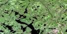
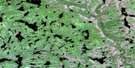
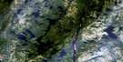
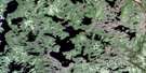
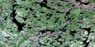
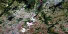
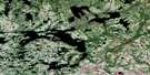
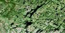
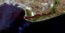
Lac Paimpont Surrounding Area Aerial Photo Maps
 |
 |
 |
 |
 |
 |
 |
 |
 |
 |
 |
 |
 |
 |
 |
 |
© Department of Natural Resources Canada. All rights reserved.
Lac Paimpont Gazetteer
The following places can be found on satellite image map 012K05 Lac Paimpont:
Lac Paimpont Satellite Image: Falls
Chute NistuChute Patetaht
Chutes Neu
Lac Paimpont Satellite Image: Geographical areas
AguanishGoynish
Kegaska
La Richardière
Lac Paimpont Satellite Image: Lakes
Lac AliecteLac Barbé
Lac Le Gal
Lac Paimpont
Lac Paimpont Satellite Image: Rivers
Petite rivière NatashquanPetite rivière Natashwuan
Rivière Aguanish
Rivière Aguanus
Rivière de la Grande Baie
Rivière Kegaska
Rivière Leguyader
Rivière Natashquan
Rivière Rapide de la Grande Baie
Rivière Uahtauakau
Rivière Westabonka
Ruisseau Tshetshitakau
Ruisseau Uahtauakau
© Department of Natural Resources Canada. All rights reserved.
012K Related Maps:
012K Musquaro012K01 Baie Des Loups
012K02 Gethsemani
012K03 Kegashka
012K04 Natashquan
012K05 Lac Paimpont
012K06 Lac Kegashka
012K07 Lac Washicoutai
012K08 Lac Coacoachou
012K09 Lac Wabouchagamou
012K10 Lac Cauchy
012K11 Lac D'Auteuil
012K12 Lac Victor
012K13 Lac Rancin
012K14 Lac Durocher
012K15 Lac Goyelle
012K16 Lac De Re
