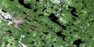
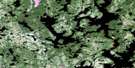
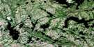
Lac Victor Satellite Image Map
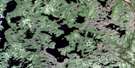
Download Free Aerial Photo 012K12 at 1:50,000 scale
Lac Victor Satellite Imagery
To view this satellite map, mouse over the air photo on the right.
You can also download this satellite image map for free:
012K12 Lac Victor high-resolution satellite image map.
Maps for the Lac Victor aerial map sheet 012K12 at 1:50,000 scale are also available in these versions:
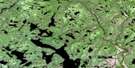
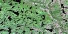
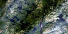
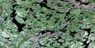
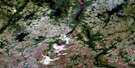
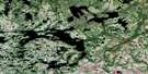
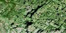
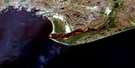
Lac Victor Surrounding Area Aerial Photo Maps
 |
 |
 |
 |
 |
 |
 |
 |
 |
 |
 |
 |
 |
 |
 |
 |
© Department of Natural Resources Canada. All rights reserved.
Lac Victor Gazetteer
The following places can be found on satellite image map 012K12 Lac Victor:
Lac Victor Satellite Image: Lakes
Lac AlapaLac Barbé
Lac Bégin
Lac Boribois
Lac Canuck
Lac Chalifour
Lac Chavary
Lac Clément
Lac Dabin
Lac de la Cabane du Milieu
Lac de la Sauvagesse
Lac Delisle
Lac Giasson
Lac Jean
Lac Jos
Lac Kauahtshekamat
Lac Kukames
Lac Landry
Lac Lapierre
Lac Petit-Jean
Lac Rod
Lac Squaw
Lac Vaillancourt
Lac Victor
Lacs Uatnan Neuemut
Lac Victor Satellite Image: Mountains
Mont UmuasMont Umuau
Lac Victor Satellite Image: Rivers
Rivière AguanishRivière Aguanus
Rivière Lapierre
Rivière Leguyader
Rivière Natashquan
Lac Victor Satellite Image: Unincorporated areas
Nakamistshetshuant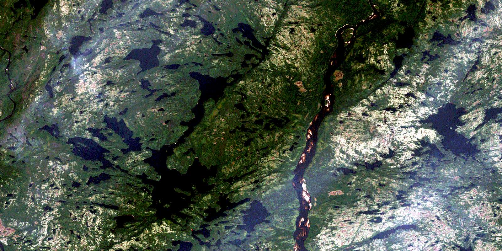
© Department of Natural Resources Canada. All rights reserved.
012K Related Maps:
012K Musquaro012K01 Baie Des Loups
012K02 Gethsemani
012K03 Kegashka
012K04 Natashquan
012K05 Lac Paimpont
012K06 Lac Kegashka
012K07 Lac Washicoutai
012K08 Lac Coacoachou
012K09 Lac Wabouchagamou
012K10 Lac Cauchy
012K11 Lac D'Auteuil
012K12 Lac Victor
012K13 Lac Rancin
012K14 Lac Durocher
012K15 Lac Goyelle
012K16 Lac De Re
